
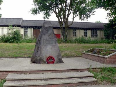
Stanhope Drive War Memorial, war memorial in Horsforth, West Yorkshire
Posizione: Horsforth
Inizio: 1929
Realizzato in: stone
Coordinate GPS: 53.83764,-1.63241
Ultimo aggiornamento: 7 marzo 2025 alle 08:47
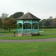
Horsforth Hall Park
1 km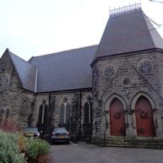
Grove Methodist Church
569 m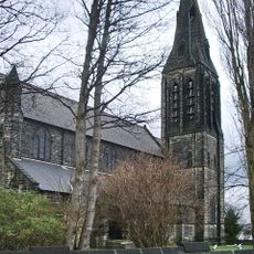
Church of St Margaret
727 m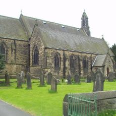
Church of St James
558 m
Daffy Wood
956 m
Horsforth Library
438 m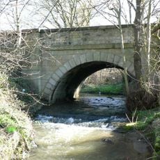
Bridge Over Moseley Beck
1 km
Station House With Horsforth Pottery And Barn (Both Attached)
1.1 km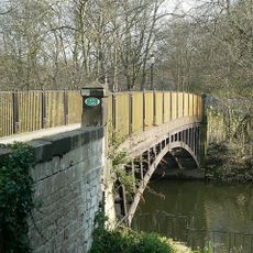
Newlay Bridge
1.1 km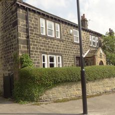
2,6 And 8, Bachelor Lane
483 m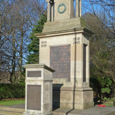
Horsforth War Memorial
938 m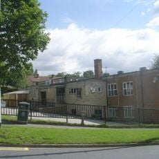
Tinshill and Cookridge Social Club
984 m
Upper Bank House
667 m
Former Corn Mill Building At Dickinson's Auto Spares, Corn Mill Fold
1 km
Croft House
473 m
Grove Manse
595 m
79,81 And 83, Town Street
489 m
Troy Hill
902 m
K6 Telephone Kiosk Adjacent To The Old Kings Arms Public House
687 m
Clapper Bridge
778 m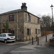
Toll House To Iron Bridge
1.1 km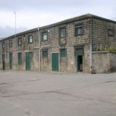
Stable Block To Former Horsforth Hall
985 m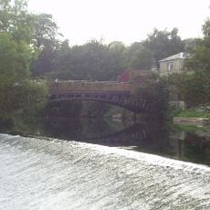
Weir And Retaining Walls On River Aire
1.1 km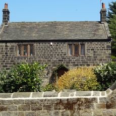
4, Hall Lane
756 m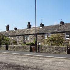
123-135, Town Street
437 m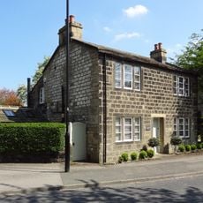
6, Hall Lane
778 m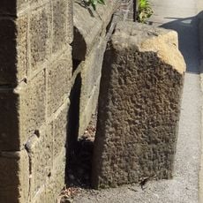
Gritstone pillar with three cup marks in the north pavement of the A65 at Horsforth, 440m south east of the roundabout at Low Fold
1 km
Milestone, New Road Side, Horsforth
1.1 kmHa visitato questo luogo? Tocchi le stelle per valutarlo e condividere la Sua esperienza o foto con la community! Provalo ora! Puoi annullarlo in qualsiasi momento.
Scopri tesori nascosti ad ogni viaggio!
Da piccoli caffè caratteristici a panorami nascosti, fuggi dalla folla e scova i posti che fanno davvero per te. La nostra app ti semplifica tutto: ricerca vocale, filtri furbi, percorsi ottimizzati e dritte autentiche da viaggiatori di tutto il mondo. Scaricala subito per vivere l'avventura sul tuo smartphone!

Un nuovo approccio alla scoperta turistica❞
— Le Figaro
Tutti i luoghi che meritano di essere esplorati❞
— France Info
Un’escursione su misura in pochi clic❞
— 20 Minutes