
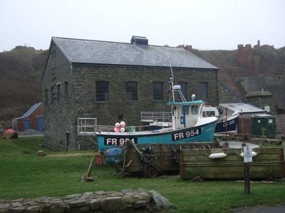
Ty Mawr, Porthgain, Grade II listed building in Llanrhian. Situated in the centre of the village, immediately behind the harbour
Posizione: Llanrhian
Altezza sopra il mare: 5,8 m
Coordinate GPS: 51.94814,-5.18153
Ultimo aggiornamento: 4 marzo 2025 alle 21:38
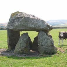
Carreg Samson
3.5 km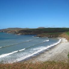
Abermawr
7 km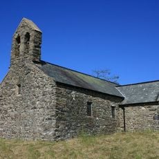
St Teilo's Church
7.2 km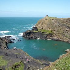
Arfordir Abereiddi
2.3 km
Castell Coch, Penmorfa
6.2 km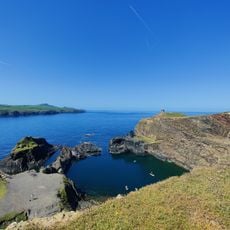
Blue Lagoon
2.2 km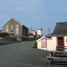
Elim Capel Bach
2.4 km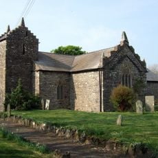
Church Of St Rhian
1.2 km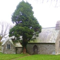
Church Of St.hywel, llanhowell
5.1 km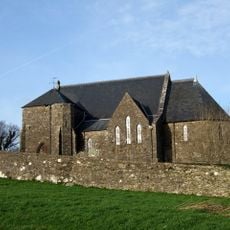
Churchyard wall at Church of the Holy Martyrs
6.5 km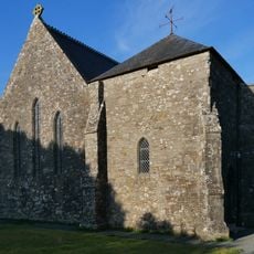
Church of The Holy Martyrs
6.5 km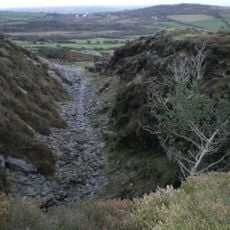
Tyrch quarry
752 m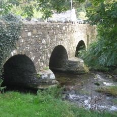
Middle Mill Bridge,Felinganol/Middle Mill
6.7 km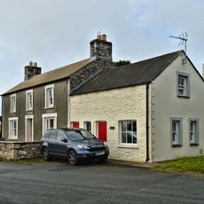
Y Post/The Old Post Office,Caerfarchell
5.9 km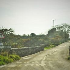
Pont Y Gwrhyd,Rhodiad Y Brenin
7 km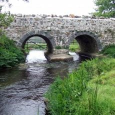
Caerforiog Bridge,Caerforiog
5.7 km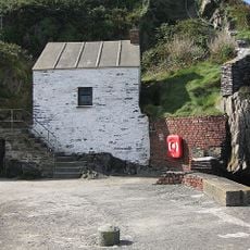
Pilot House,Porthgain
141 m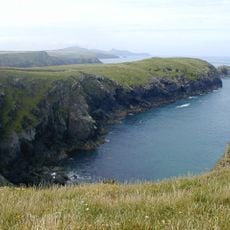
Porth-Egr
1.4 km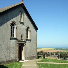
Rehoboth Congregational Chapel
4.4 km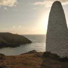
Navigation Beacon On Headland to E.of Entry to Porthgain Harbour
245 m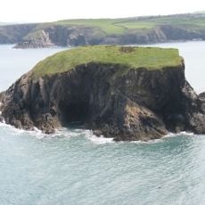
Ynys-fach
767 m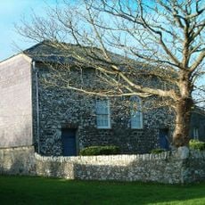
Caerfarchell Chapel
5.9 km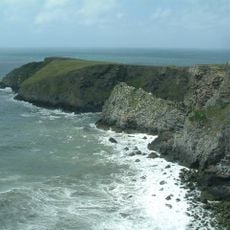
Castell Coch
2.9 km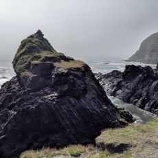
Abereiddy Tower,Abereiddy
2.4 km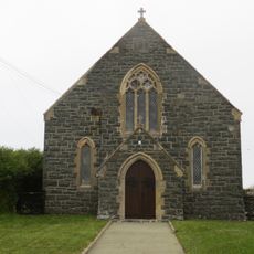
Beria Congregational Chapel
3.3 km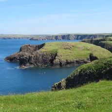
Ynys-y-Castell, Abercastle
3.9 km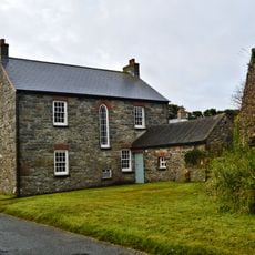
The Manse, including Pigsty attached at north end
5.8 km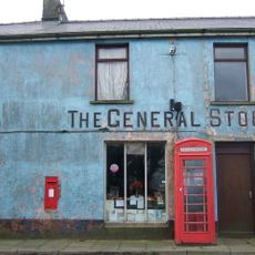
Telephone call-box at the General Stores
6.4 kmRecensioni
Ha visitato questo luogo? Tocchi le stelle per valutarlo e condividere la Sua esperienza o foto con la community! Provalo ora! Puoi annullarlo in qualsiasi momento.
Scopri tesori nascosti ad ogni viaggio!
Da piccoli caffè caratteristici a panorami nascosti, fuggi dalla folla e scova i posti che fanno davvero per te. La nostra app ti semplifica tutto: ricerca vocale, filtri furbi, percorsi ottimizzati e dritte autentiche da viaggiatori di tutto il mondo. Scaricala subito per vivere l'avventura sul tuo smartphone!

Un nuovo approccio alla scoperta turistica❞
— Le Figaro
Tutti i luoghi che meritano di essere esplorati❞
— France Info
Un’escursione su misura in pochi clic❞
— 20 Minutes