
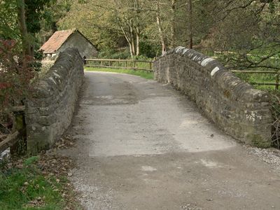
Bridge near Llanmihangel Mill, Grade II listed building in Neath Port Talbot County Borough. The bridge carries a track over the Afon Cynffig to the SE of Llanmihangel Mill Farm
Posizione: Margam
Altezza sopra il mare: 20,1 m
Coordinate GPS: 51.52746,-3.70237
Ultimo aggiornamento: 23 settembre 2025 alle 17:46
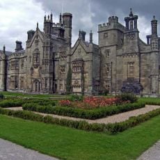
Castello di Margam
4.2 km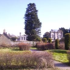
Margam Country Park
4.2 km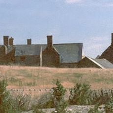
Sker House
3.4 km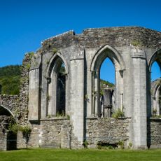
Abbazia di Margam
4.3 km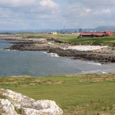
Royal Porthcawl Golf Club
4.3 km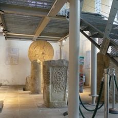
Margam Stones Museum
4.4 km
St David's Church
4.1 km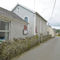
Nottage General Baptist & Unitarian Church
4.1 km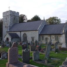
St James's Church
644 m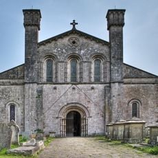
St Mary's Abbey Church
4.4 km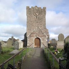
St Mary Magdalene's Church
1.4 km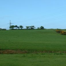
Pen y Castell, Kenfig Hill
2.3 km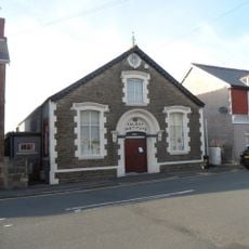
The Talbot Institute
1.8 km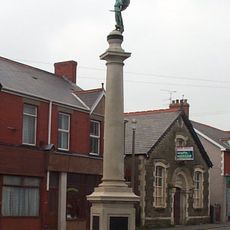
Kenfig Hill War Memorial
1.8 km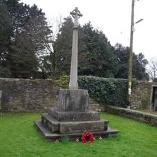
War Memorial
4.4 km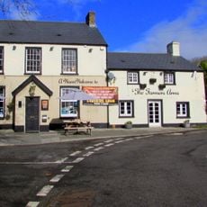
The Farmers' Arms
4.2 km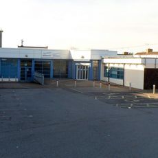
Pyle Life Centre
879 m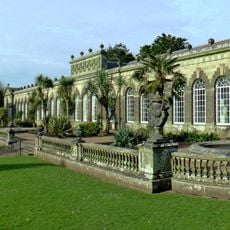
Margam Orangery
4.3 km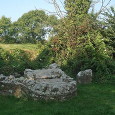
St David's Well aka Ffynnon Dewi
3.7 km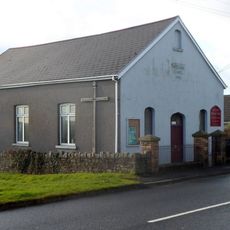
Wesleyan Methodist Chapel
2.9 km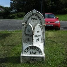
Mile marker on A48, Pyle to Margam Road
788 m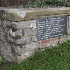
Ffynnon Fawr
4.2 km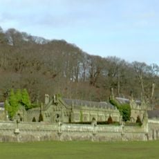
Service Buildings Including Courtyard Walls At Margam Castle
4.2 km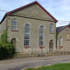
Pyle Calvinistic Methodist Chapel, Capel Y Pîl, And Schoolroom, With Forecourt Railings.
804 m
The Rest
4.2 km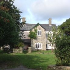
The Hall Farm
700 m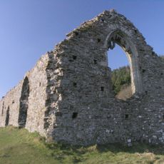
Hen Eglwys
4.6 km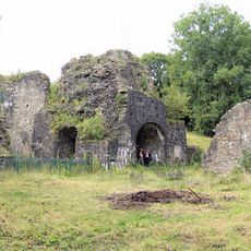
Cefn Cribwr Ironworks, The Furnace And Charging House
3.3 kmRecensioni
Ha visitato questo luogo? Tocchi le stelle per valutarlo e condividere la Sua esperienza o foto con la community! Provalo ora! Puoi annullarlo in qualsiasi momento.
Scopri tesori nascosti ad ogni viaggio!
Da piccoli caffè caratteristici a panorami nascosti, fuggi dalla folla e scova i posti che fanno davvero per te. La nostra app ti semplifica tutto: ricerca vocale, filtri furbi, percorsi ottimizzati e dritte autentiche da viaggiatori di tutto il mondo. Scaricala subito per vivere l'avventura sul tuo smartphone!

Un nuovo approccio alla scoperta turistica❞
— Le Figaro
Tutti i luoghi che meritano di essere esplorati❞
— France Info
Un’escursione su misura in pochi clic❞
— 20 Minutes