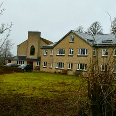
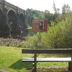
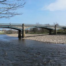
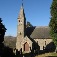
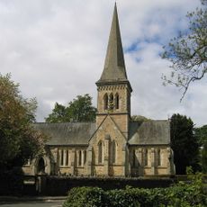
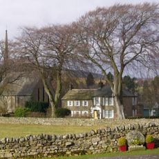
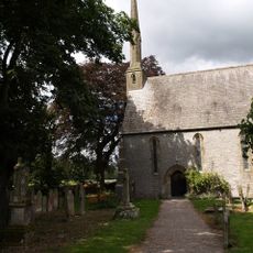
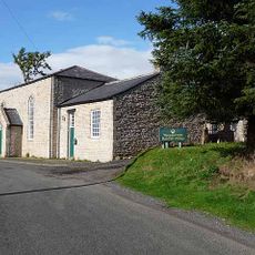
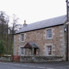
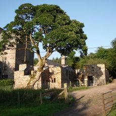
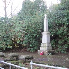
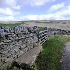
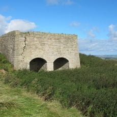
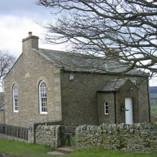
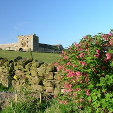
Plenmeller with Whitfield, civil parish in Northumberland, England
Posizione: Northumberland
Coordinate GPS: 54.92300,-2.37300
Ultimo aggiornamento: 2 marzo 2025 alle 21:56
Throssel Hole Buddhist Abbey
9.6 km
Unthank Hall
5.3 km
Alston Arches Viaduct
7.1 km
Coanwood Friends Meeting House
5.2 km
Blue Bridge
7.5 km
Bellister Bridge
7.7 km
Haltwhistle A69 Bridge (East)
6.9 km
Allen Confluence Gravels
3.9 km
Bellister Castle
7.4 km
Church of St Mark
6.6 km
Church of the Holy Trinity
2.6 km
Church of the Holy Paraclete
11.2 km
Church of St John
1.7 km
Cross 10 Metres South Of Parish Church Door
11.3 km
Methodist Church
9.6 km
The Old Post Office And Adjacent Outbuildings
2.3 km
Clarghyll Hall
10.1 km
Keenley and Broadside War Memorial
5 km
Water tank building at Haltwhistle railway station
7.7 km
Ninebanks tower house
5.9 km
Footbridge at Haltwhistle railway station
7.6 km
Blueback Bridge Over River West Allen
2.7 km
Blacksmith's Shop And Adjoining House
2.3 km
Claim Stone In Corner Of Field C1000 Yards North East Of Blagillhead Farmhouse
9.7 km
Limekiln In Disused Quarry, 170 Metres South Of Keenley Thorn Farmhouse
4 km
High House Methodist Chapel And Area Railings
5.2 km
Willimontswick Gatehouse And Adjacent Ranges
5 km
Milestone To West Of Clargillhead
9.2 kmHa visitato questo luogo? Tocchi le stelle per valutarlo e condividere la Sua esperienza o foto con la community! Provalo ora! Puoi annullarlo in qualsiasi momento.
Scopri tesori nascosti ad ogni viaggio!
Da piccoli caffè caratteristici a panorami nascosti, fuggi dalla folla e scova i posti che fanno davvero per te. La nostra app ti semplifica tutto: ricerca vocale, filtri furbi, percorsi ottimizzati e dritte autentiche da viaggiatori di tutto il mondo. Scaricala subito per vivere l'avventura sul tuo smartphone!
Un nuovo approccio alla scoperta turistica❞
— Le Figaro
Tutti i luoghi che meritano di essere esplorati❞
— France Info
Un’escursione su misura in pochi clic❞
— 20 Minutes