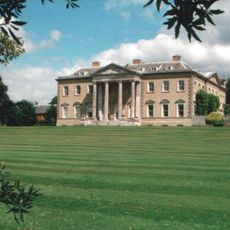
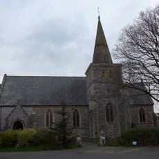
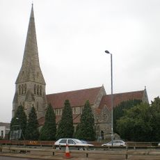
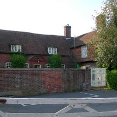
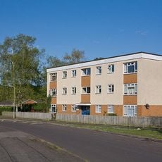
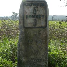
Nursling and Rownhams, civil parish in Test Valley, Hampshire, England
Posizione: Test Valley
Sito web: http://www.nandr.org.uk/
Sito web: http://nandr.org.uk
Coordinate GPS: 50.94800,-1.47600
Ultimo aggiornamento: 6 marzo 2025 alle 13:17
Broadlands
3.9 km
Hollybrook Cemetery
3.6 km
Shirley Parish Church
4.1 km
Toothill Fort
2.4 km
Shirley Baptist Church
4.1 km
Church of St Winfred
3.1 km
Church of St Boniface
986 m
Church of St Denys
4.3 km
Church of St John
1.6 km
Church of the Holy Trinity
3.9 km
The Crown Public House
4.1 km
The Cross Keys Public House
3.4 km
Redbridge Bridge
2.9 km
Milestone Opposite Churchyard Of Church Of St Denys
4.4 km
Regent Cinema
4.1 km
Gateway At Ashfield Lodge
3.4 km
Luzborough House
4.2 km
North Baddesley Community Library
4.2 km
Milestone 700 Metres South Of Junction With A27
2.5 km
Milestone 150 Metres North Of Roundabout On End Of M271
975 m
Milestone On West Side At Top Of Pauncefoot Hill
4.4 km
Milestone On East Side 60 Metres South Of Entrance To Ranvilles Farm
3.9 km
Milestone 10 Metres North East Of Brooklyn
4.2 km
Milestone, Redbridge Road, Redbridge
3.2 km
Milestone, Brokenford; by No. 144 Ringwood Road
3.7 km
Milestone, Sharves Hill
2.9 km
Milestone, Tennis Centre, Romsey Road, Nursling; opp. the Cedar School for the Physically handicapped,
1.3 km
Milestone, Romsey Road, Maybush
2.8 kmRecensioni
Ha visitato questo luogo? Tocchi le stelle per valutarlo e condividere la Sua esperienza o foto con la community! Provalo ora! Puoi annullarlo in qualsiasi momento.
Scopri tesori nascosti ad ogni viaggio!
Da piccoli caffè caratteristici a panorami nascosti, fuggi dalla folla e scova i posti che fanno davvero per te. La nostra app ti semplifica tutto: ricerca vocale, filtri furbi, percorsi ottimizzati e dritte autentiche da viaggiatori di tutto il mondo. Scaricala subito per vivere l'avventura sul tuo smartphone!
Un nuovo approccio alla scoperta turistica❞
— Le Figaro
Tutti i luoghi che meritano di essere esplorati❞
— France Info
Un’escursione su misura in pochi clic❞
— 20 Minutes