
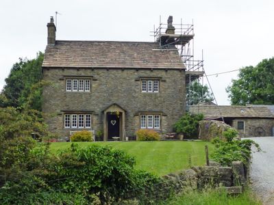
Clay House Farmhouse, farmhouse in Downham, Ribble Valley, Lancashire, UK
Posizione: Downham
Inizio: 19 secolo
Piani sopra il suolo: 2
Realizzato in: rubble, stone slate
Coordinate GPS: 53.88932,-2.31394
Ultimo aggiornamento: 5 marzo 2025 alle 01:22
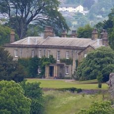
Downham Hall
1.3 km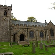
St Leonard's Church, Downham
1.2 km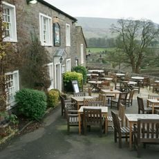
Assheton Arms
1.2 km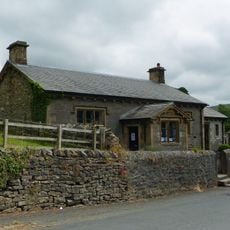
Downham Church of England School
1.1 km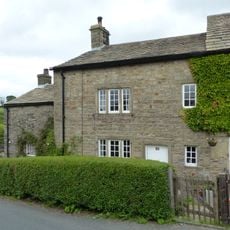
35 Chapel Brow
880 m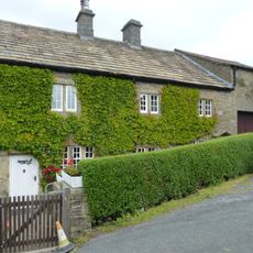
36 and 37 Chapel Brow
871 m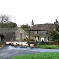
Fir Tree House
953 m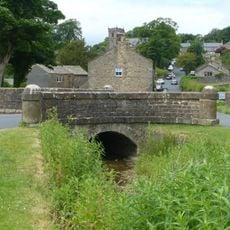
Bridge approximately 15 metres south west of Fir Tree House
966 m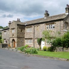
Old Well Hall
990 m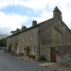
45
1 km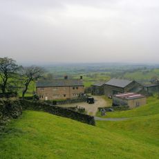
Heckiln Farmhouse
991 m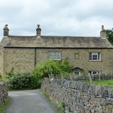
7 Top Row
1.2 km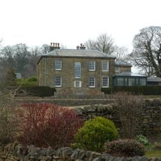
The Lidgett House
1.1 km
Post Office and house adjoining to east
1.1 km
The White House
1.1 km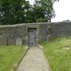
Door and surround in garden wall, Downham Hall, approximately 10 metres south west of church tower
1.2 km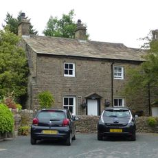
Greengates
861 m
Hollins Farmhouse and barn adjoining to south west
667 m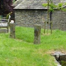
Stocks
1.1 km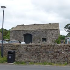
Barn approximately 15 metres north of Fir Tree House
974 m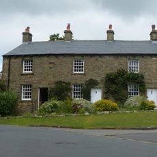
2, 3 and 4 Top Row
1.2 km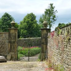
Pair of gatepiers in Downham Hall garden, approximately 60 metres north west of school
1.1 km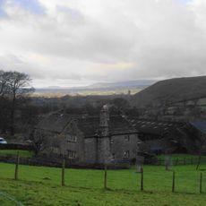
Hook Cliffe Farmhouse and farm building adjoining to west
1 km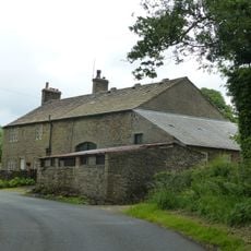
Laneside Farmhouse and barn adjoining to west
647 m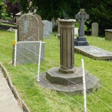
Sundial In Churchyard Approximately 8 Metres South Of Chancel, Church Of St Leonard
1.2 km
Village Hall
823 m
5 and 6 Top Row
1.2 km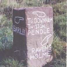
Guidestone, near West Lane
1.1 kmRecensioni
Ha visitato questo luogo? Tocchi le stelle per valutarlo e condividere la Sua esperienza o foto con la community! Provalo ora! Puoi annullarlo in qualsiasi momento.
Scopri tesori nascosti ad ogni viaggio!
Da piccoli caffè caratteristici a panorami nascosti, fuggi dalla folla e scova i posti che fanno davvero per te. La nostra app ti semplifica tutto: ricerca vocale, filtri furbi, percorsi ottimizzati e dritte autentiche da viaggiatori di tutto il mondo. Scaricala subito per vivere l'avventura sul tuo smartphone!

Un nuovo approccio alla scoperta turistica❞
— Le Figaro
Tutti i luoghi che meritano di essere esplorati❞
— France Info
Un’escursione su misura in pochi clic❞
— 20 Minutes