
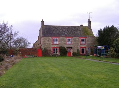
Sutton Lane Farmhouse, farmhouse in Sutton Benger, Wiltshire, UK
Posizione: Sutton Benger
Coordinate GPS: 51.49256,-2.07263
Ultimo aggiornamento: 9 marzo 2025 alle 04:57
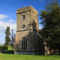
St James's Church, Draycot Cerne
2.2 km
Church of St Nicholas, Hardenhuish
4.7 km
Church of Saint Peter
2.6 km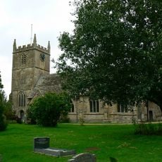
Church of All Saints
1.6 km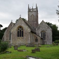
Church of St Michael
4.7 km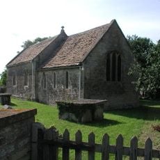
Church of St Nicholas
2.8 km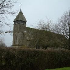
Church of St John the Baptist
2.6 km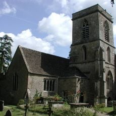
Church of St Peter
2.6 km
Church of St Giles
1.3 km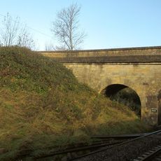
Green Bridge (MLN1/93 03)
3.1 km
Church of St Paul
4.4 km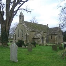
Church of St Mary
3.8 km
Church of All Saints
1.7 km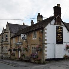
The Jolly Huntsman Inn
4.6 km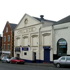
Palace Theatre
4.6 km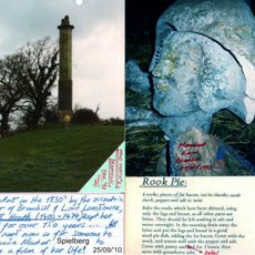
Maud Heath's Monument
3.9 km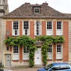
Zealys House
4.7 km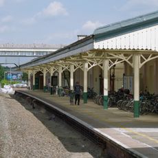
Chippenham Station, Entrance Building And Attached Platform Canopies
4.5 km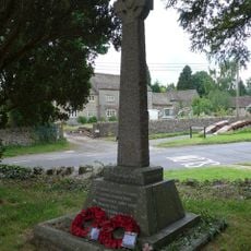
Kington Langley War Memorial
2.7 km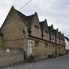
The Lyte Almshouses
4.6 km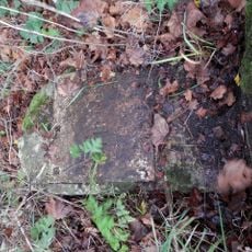
Milestone On East Side, About 40 Metres South Of Hillside Bungalow
3.7 km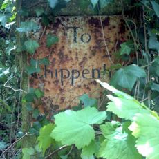
Milestone About 160 Metres South Of Coldharbour
2.4 km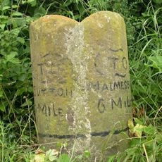
Milestone About 200 Metres South Of Rookery House
3.6 km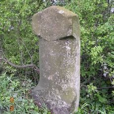
Milestone About 100 Metres East Of Townsends Garage
2.8 km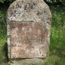
Milestone On East Side About 90 Metres North Of Entry To Heathlands
4 km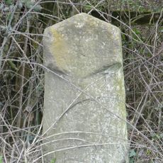
Milestone About 100 Metres South-West Of Drive To Swallett Farm
4.1 km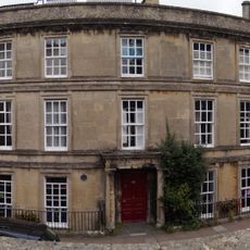
The Old Vicarage And Attached Railings
4.7 km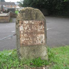
Milestone, Malmesbury Road; 30m S jcn Hill Corner Road outside King Alfred pub
4.3 kmRecensioni
Ha visitato questo luogo? Tocchi le stelle per valutarlo e condividere la Sua esperienza o foto con la community! Provalo ora! Puoi annullarlo in qualsiasi momento.
Scopri tesori nascosti ad ogni viaggio!
Da piccoli caffè caratteristici a panorami nascosti, fuggi dalla folla e scova i posti che fanno davvero per te. La nostra app ti semplifica tutto: ricerca vocale, filtri furbi, percorsi ottimizzati e dritte autentiche da viaggiatori di tutto il mondo. Scaricala subito per vivere l'avventura sul tuo smartphone!

Un nuovo approccio alla scoperta turistica❞
— Le Figaro
Tutti i luoghi che meritano di essere esplorati❞
— France Info
Un’escursione su misura in pochi clic❞
— 20 Minutes