
Whalton Church Of England Aided School
Whalton Church Of England Aided School, school building in Whalton, Northumberland, UK
Posizione: Whalton
Coordinate GPS: 55.12540,-1.79688
Ultimo aggiornamento: 10 aprile 2025 alle 20:45
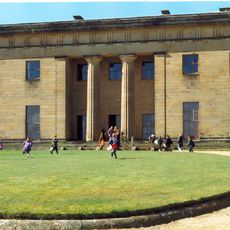
Belsay Hall
3.7 km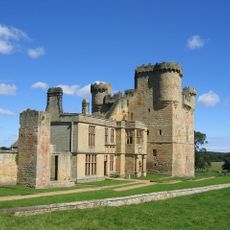
Belsay Castle
5.3 km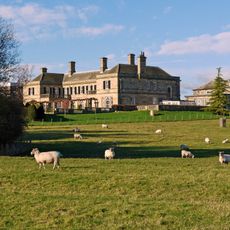
Kirkley Hall
4.5 km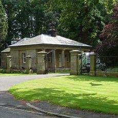
Mitford Hall
5.4 km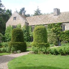
Ogle Castle
2.4 km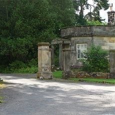
Meldon Park
4.8 km
Whalton Manor
305 m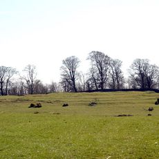
Defended settlement on Slate Hill, 300m north west of Bolam Lake
5.4 km
Church of St Andrew
4 km
Church of St John the Baptist
2.9 km
Church of St Mary Magdalene
57 m
Lodge At Entrance To Meldon Park
5 km
Milepost Opposite West Edington
2.6 km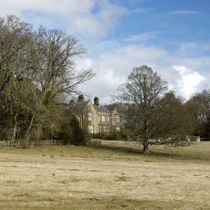
Angerton Hall And Attached Wall To North-East
5.3 km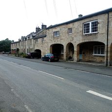
The Arcade
3.8 km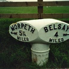
Milepost 30 Metres West Of Camp House
1.2 km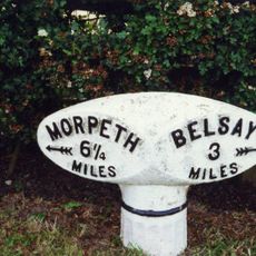
Milepost 100 Metres East Of Whiteside North
362 m
The Lodge
5.6 km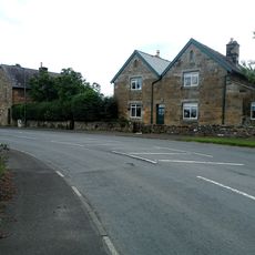
East Lodge To Belsay Hall
3.9 km
Milepost At Junction With B6309
4.5 km
Piers And Screen Walls At Entrance To Meldon Park
5 km
Milepost On North Side Of Shiningpool Bridge
3.4 km
Belsay Village Cross approx 250 yards east of Belsay Castle
5.1 km
Stable Block Approx 30 Yards North-east Of Belsay Hall
5 km
The Arcade
3.8 km
The Arcade
3.8 km
Milepost, Milbourne, just N of "Waggon Inn" PH
5.4 km
Milepost, Ogle, nr Nunhill Farm, N of The Highlander Inn
4.1 kmRecensioni
Ha visitato questo luogo? Tocchi le stelle per valutarlo e condividere la Sua esperienza o foto con la community! Provalo ora! Puoi annullarlo in qualsiasi momento.
Scopri tesori nascosti ad ogni viaggio!
Da piccoli caffè caratteristici a panorami nascosti, fuggi dalla folla e scova i posti che fanno davvero per te. La nostra app ti semplifica tutto: ricerca vocale, filtri furbi, percorsi ottimizzati e dritte autentiche da viaggiatori di tutto il mondo. Scaricala subito per vivere l'avventura sul tuo smartphone!

Un nuovo approccio alla scoperta turistica❞
— Le Figaro
Tutti i luoghi che meritano di essere esplorati❞
— France Info
Un’escursione su misura in pochi clic❞
— 20 Minutes