
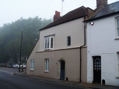
18 And 19, Pound Lane, building in Canterbury, Kent, UK
Posizione: Canterbury
Coordinate GPS: 51.28271,1.07938
Ultimo aggiornamento: 2 aprile 2025 alle 22:37
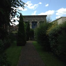
Old Synagogue
130 m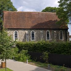
Blackfriars
159 m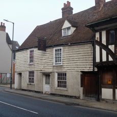
Blue Anchor Inn
158 m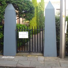
Railings And Post In Front Of St Alphege Church Hall
163 m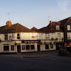
The Miller's Arms Public House
81 m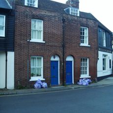
27 And 28, St Radigund Street
88 m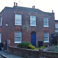
6, Mill Lane
91 m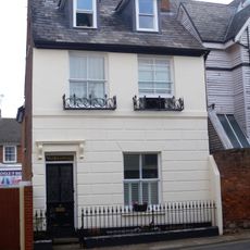
Black Princes Chantry
166 m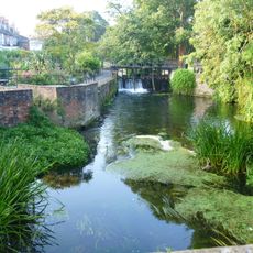
Abbot's Mill Footbridge And Sluice
59 m
2 And 3, Mill Lane
84 m
7-12, Pound Lane
135 m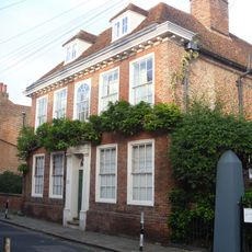
20, King Street
159 m
40, Blackfriars Street
105 m
4 And 5, Mill Lane
86 m
The Former Blackfriars Monastery
157 m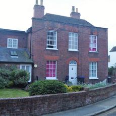
7, Mill Lane
100 m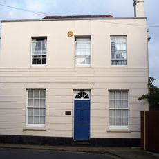
21, King Street
156 m
38-41, St Radigund Street
156 m
16-19, King Street
169 m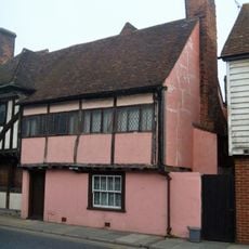
27, North Lane
152 m
36-39, Blackfriars Street
118 m
26, North Lane
154 m
37, North Lane
138 m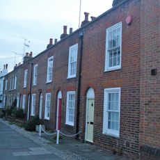
31-35, Blackfriars Street
132 m
11-18, Blackfriars Street
169 m
8-12, Mill Lane
113 m
1-10, Blackfriars Street
102 m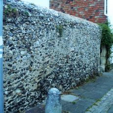
Wall on Right Side of Blackfriars Monastery
145 mRecensioni
Ha visitato questo luogo? Tocchi le stelle per valutarlo e condividere la Sua esperienza o foto con la community! Provalo ora! Puoi annullarlo in qualsiasi momento.
Scopri tesori nascosti ad ogni viaggio!
Da piccoli caffè caratteristici a panorami nascosti, fuggi dalla folla e scova i posti che fanno davvero per te. La nostra app ti semplifica tutto: ricerca vocale, filtri furbi, percorsi ottimizzati e dritte autentiche da viaggiatori di tutto il mondo. Scaricala subito per vivere l'avventura sul tuo smartphone!

Un nuovo approccio alla scoperta turistica❞
— Le Figaro
Tutti i luoghi che meritano di essere esplorati❞
— France Info
Un’escursione su misura in pochi clic❞
— 20 Minutes