
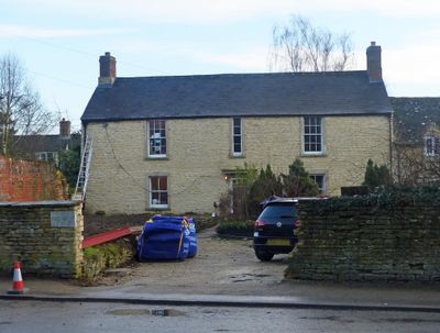
The Malt House, Grade II listed house in Bletchingdon, Cherwell, Oxfordshire, UK
Posizione: Bletchingdon
Coordinate GPS: 51.85541,-1.27022
Ultimo aggiornamento: 2 marzo 2025 alle 21:04
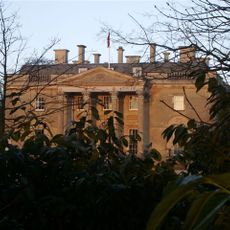
Bletchingdon Park
398 m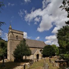
Church of St Giles, Bletchingdon
480 m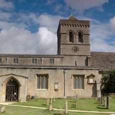
Church of St Mary, Kirtlington
1.9 km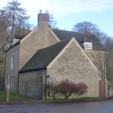
Park Gate House
203 m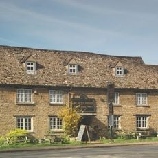
The Blacks Head Public House
174 m
The Dashwood Arms Public House
2 km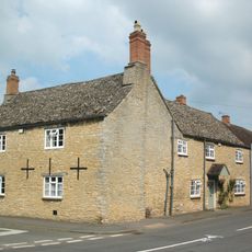
Old Red Lion
125 m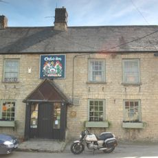
The Oxford Arms Public House And Adjoining Cottage
1.9 km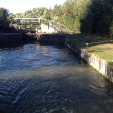
Bridge At Shipton Weir Lock, Oxford Canal
1.7 km
Shipton Lift Bridge (219) Sp 4850 1675, Oxford Canal
2.1 km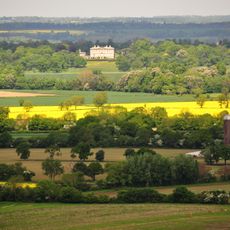
Kirtlington Park
2.2 km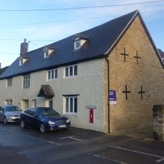
The Post Office Stores
101 m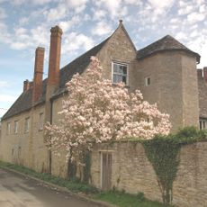
The Manor House And Attached Outbuilding Range
2 km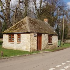
Squirrel's Drey
91 m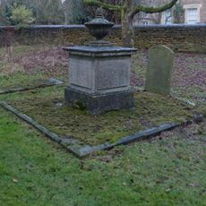
Chest tomb approximately 6 metres east of chancel of Church of St Giles
505 m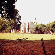
Ruins of Manor House
2.1 km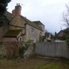
The Old Manor House
2.2 km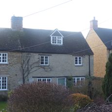
Glendale
192 m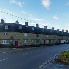
The Row
151 m
Poyle Court
2.1 km
Manor Farmhouse
1.9 km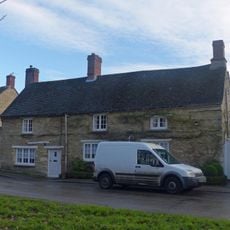
Monk's Head
39 m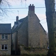
Village Farmhouse
57 m
Model Farmhouse
2 km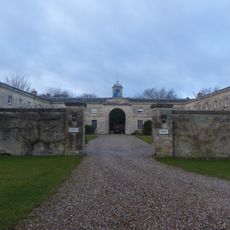
Bletchingdon Park, stables and attached walls approximately 150 metres east north east of Bletchingdon Park
538 m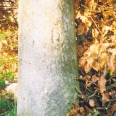
Milestone, Church Road; end of drive to Church Road House
501 m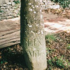
Milestone, by Church, on lane by Bletchingdon Park, in front of wall around church
449 m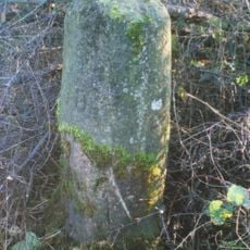
Milestone, Islip Road; between Diamond Farm and Bletchingdon
648 mRecensioni
Ha visitato questo luogo? Tocchi le stelle per valutarlo e condividere la Sua esperienza o foto con la community! Provalo ora! Puoi annullarlo in qualsiasi momento.
Scopri tesori nascosti ad ogni viaggio!
Da piccoli caffè caratteristici a panorami nascosti, fuggi dalla folla e scova i posti che fanno davvero per te. La nostra app ti semplifica tutto: ricerca vocale, filtri furbi, percorsi ottimizzati e dritte autentiche da viaggiatori di tutto il mondo. Scaricala subito per vivere l'avventura sul tuo smartphone!

Un nuovo approccio alla scoperta turistica❞
— Le Figaro
Tutti i luoghi che meritano di essere esplorati❞
— France Info
Un’escursione su misura in pochi clic❞
— 20 Minutes