
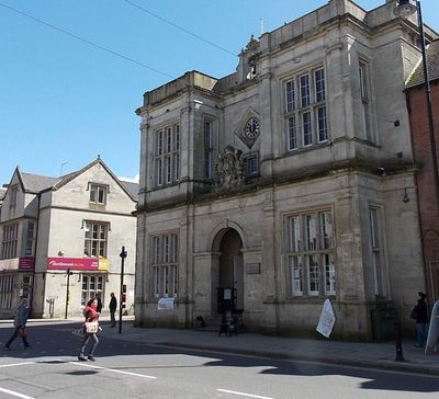
Town Hall, rathaus in Warminster, Wiltshire, UK
Posizione: Warminster
Coordinate GPS: 51.20477,-2.18148
Ultimo aggiornamento: 18 marzo 2025 alle 01:07
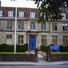
Warminster School
636 m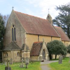
St John's Church, Warminster
1.2 km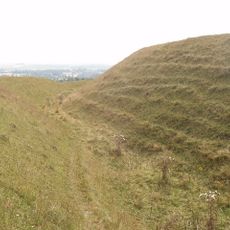
Battlesbury Camp
2.5 km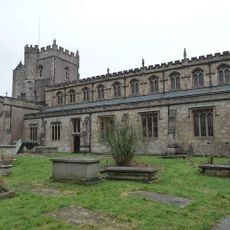
Parish Church of St Denys (the Minster Church)
645 m
Warminster Athenaeum
91 m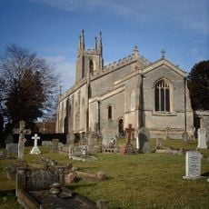
Christ Church, Warminster
624 m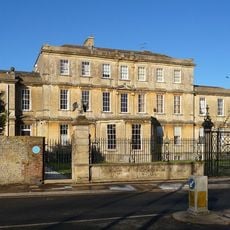
Portway House
289 m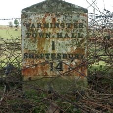
Milestone, Deverill Road; opp. no 124 (farm cottage)
1.5 km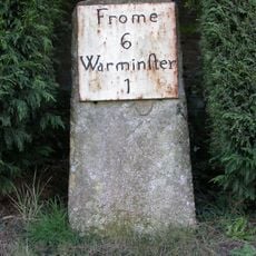
Milestone, Victoria Road, Bugley; by No. 1 Saxons Acre
1.6 km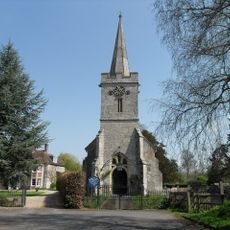
Church of St Aldhelm
2.5 km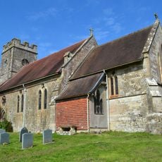
Church of St Mary the Virgin
2.8 km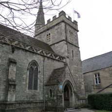
Chapel Of St Lawrence
33 m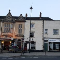
The Farmers' Hotel
307 m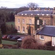
Bishopstrow House Hotel
2.4 km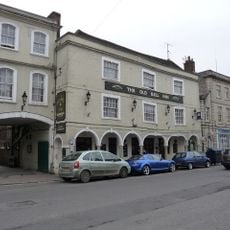
The Old Bell Public House
131 m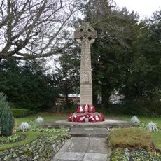
Warminster War Memorial
251 m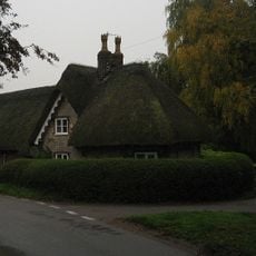
Turnpike Cottage
1.1 km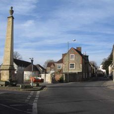
The Obelisk
469 m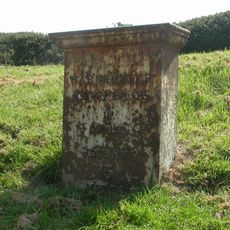
Milestone
1.3 km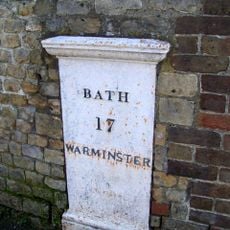
Milestone to north of No 42
540 m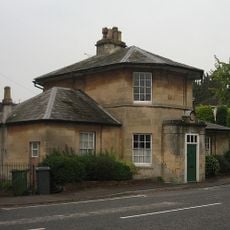
Holly Lodge
989 m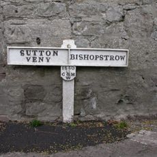
Boundary Post
2.4 km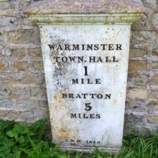
Milestone
1.4 km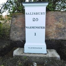
Milestone about 70 yards from turning to Boreham
1.8 km
Robin Hood's Bower earthwork enclosure in Southleigh Wood
2.8 km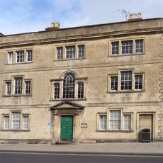
The Chantry
128 m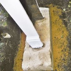
Milestone, Boreham Road; 30m SE jct Bishopstrow Road
1.8 km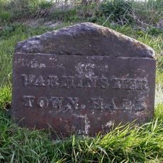
Milestone, Westbury Road; 200m S New Farm
1.3 kmHa visitato questo luogo? Tocchi le stelle per valutarlo e condividere la Sua esperienza o foto con la community! Provalo ora! Puoi annullarlo in qualsiasi momento.
Scopri tesori nascosti ad ogni viaggio!
Da piccoli caffè caratteristici a panorami nascosti, fuggi dalla folla e scova i posti che fanno davvero per te. La nostra app ti semplifica tutto: ricerca vocale, filtri furbi, percorsi ottimizzati e dritte autentiche da viaggiatori di tutto il mondo. Scaricala subito per vivere l'avventura sul tuo smartphone!

Un nuovo approccio alla scoperta turistica❞
— Le Figaro
Tutti i luoghi che meritano di essere esplorati❞
— France Info
Un’escursione su misura in pochi clic❞
— 20 Minutes