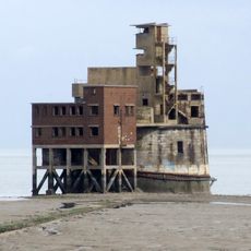
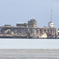
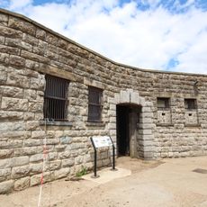
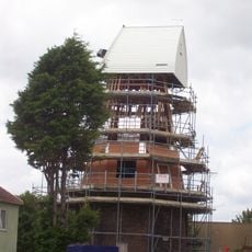
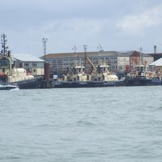
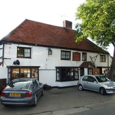
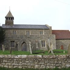
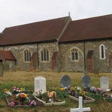
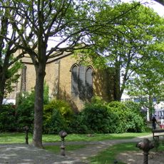
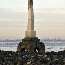
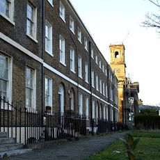
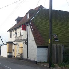
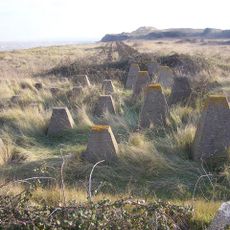
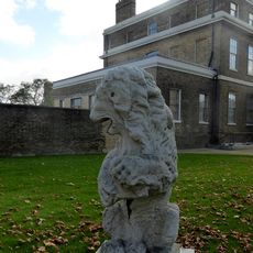
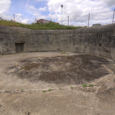
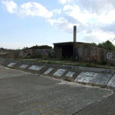
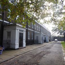
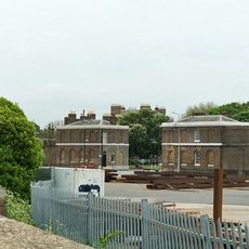
Isle of Grain, civil parish in Medway, Kent, England
Posizione: Medway
Sito web: https://stjamesisleofgrain-pc.gov.uk
Coordinate GPS: 51.45569,0.70334
Ultimo aggiornamento: 5 marzo 2025 alle 19:52
Grain Tower
2 kmGrain Fort
1.1 km
Garrison Point Fort
3 km
Slough Fort
4.6 km
Great Mill
4.5 km
Shed No. 78
3.2 km
The Hogarth Inn
713 m
The Criterion Blue Town
3.5 km
Church of All Saints
4.5 km
Church of St James
1 km
Parish Church of the Holy Trinity
4.6 km
The London Stone, Yantlet Creek
2.8 km
Sheerness War Memorial
4.2 km
Red Lion Public House
3.5 km
Former Royal Dockyard Church And Attached Wall And Railings
3.8 km
Rose And Crown Public House
4.5 km
World War Ii Anti-Tank Obstacles On The Foreshore
1.1 km
King William Lion Monument To West Of Medway Port Authority Offices
3.6 km
Slough Fort and wing batteries
4.6 km
Coastal artillery defences on the Isle of Grain, immediately east and south east of Grain village
1.3 km
Numbers 1 To 15 And Attached Railings
3.7 km
South Gate House
3.6 km
North Gate House
3.6 km
Railings To South Side Of Green To East Of Naval Terrace
3.8 km
Clock Tower
4.4 km
Grain Crossing Signal Box
2 km
Numbers 1 To 8 Attached Basement Railings, Walls, Coach House And Stables
3.8 km
Sheerness defences
3.7 kmHa visitato questo luogo? Tocchi le stelle per valutarlo e condividere la Sua esperienza o foto con la community! Provalo ora! Puoi annullarlo in qualsiasi momento.
Scopri tesori nascosti ad ogni viaggio!
Da piccoli caffè caratteristici a panorami nascosti, fuggi dalla folla e scova i posti che fanno davvero per te. La nostra app ti semplifica tutto: ricerca vocale, filtri furbi, percorsi ottimizzati e dritte autentiche da viaggiatori di tutto il mondo. Scaricala subito per vivere l'avventura sul tuo smartphone!
Un nuovo approccio alla scoperta turistica❞
— Le Figaro
Tutti i luoghi che meritano di essere esplorati❞
— France Info
Un’escursione su misura in pochi clic❞
— 20 Minutes