
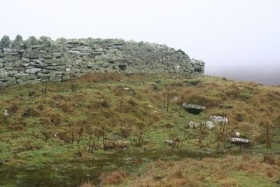
Wadbister Souterrain, souterrain in Shetland Islands, Scotland, UK
Posizione: Shetland Islands
Coordinate GPS: 60.13665,-1.07232
Ultimo aggiornamento: 4 marzo 2025 alle 07:09
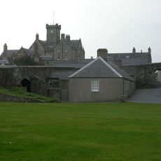
Fort Charlotte
4.5 km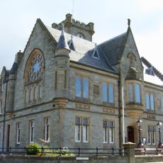
Lerwick Town Hall
4.6 km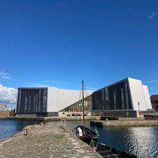
Mareel
4.8 km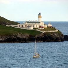
Bressay Lighthouse
3.3 km
Gardie House
3.8 km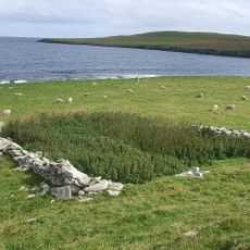
Broch of Cullingsburgh
2.9 km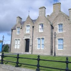
Lerwick, King Erik Street, County Buldings
4.6 km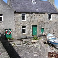
The Lodberrie
4.1 km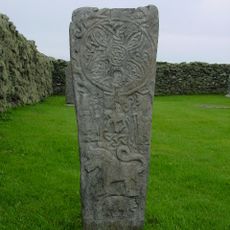
Bressay Stone
2.8 km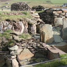
Burnt Mound of Cruester
4.5 km
Bressay, Gardie House, Steading
3.9 km
Bressay, Gardie House, Pier
3.9 km
Maryfield House, including boundary walls and gatepiers
3.6 km
St Ola's Church and burial-ground
4.5 km
Bressay, Maryfield, Boat Store And Slipway
3.6 km
Bressay, South Road, The Glebe
2.4 km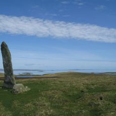
Hill of Cruester, standing stone 570m NE of Hiltoun
4.3 km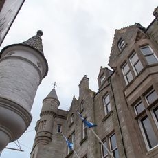
Grand Hotel
4.4 km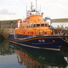
Lerwick, 2 Church Lane, Lifeboat Station
4.2 km
Lerwick, 9 Commercial Street, The Old Manse
4 km
Lerwick, Gressy Loan, Janet Courtney Hostel
3.8 km
Lerwick, 9 Hillhead, Wesley Manse
4.5 km
Lerwick, Lovers Loan, Anderson Institute
3.9 km
The Knab, fixed torpedo platform 130m NE of
3.7 km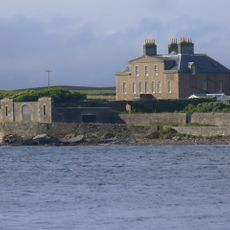
Bressay, Gardie House, North West Pavilion
3.8 km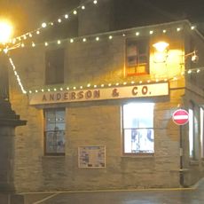
Anderson And Co, 60-62 Commercial Street, Lerwick
4.3 km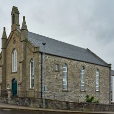
St Olaf's Hall, Hillhead, Lerwick
4.2 km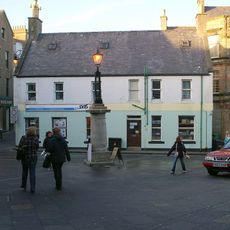
Market Cross, Commercial Street, Lerwick
4.3 kmRecensioni
Ha visitato questo luogo? Tocchi le stelle per valutarlo e condividere la Sua esperienza o foto con la community! Provalo ora! Puoi annullarlo in qualsiasi momento.
Scopri tesori nascosti ad ogni viaggio!
Da piccoli caffè caratteristici a panorami nascosti, fuggi dalla folla e scova i posti che fanno davvero per te. La nostra app ti semplifica tutto: ricerca vocale, filtri furbi, percorsi ottimizzati e dritte autentiche da viaggiatori di tutto il mondo. Scaricala subito per vivere l'avventura sul tuo smartphone!

Un nuovo approccio alla scoperta turistica❞
— Le Figaro
Tutti i luoghi che meritano di essere esplorati❞
— France Info
Un’escursione su misura in pochi clic❞
— 20 Minutes