
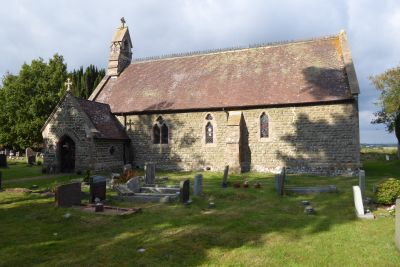
Church of All Saints, Hollybush, church building in Castlemorton, Malvern Hills, Worcestershire, UK
Posizione: Castlemorton
Coordinate GPS: 52.02828,-2.33844
Ultimo aggiornamento: 2 marzo 2025 alle 22:40
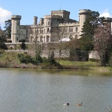
Castello di Eastnor
3.3 km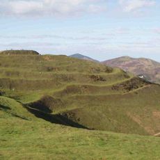
British Camp
3.4 km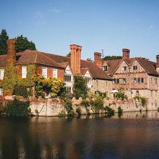
Birtsmorton Court
3.4 km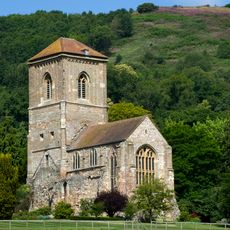
Little Malvern Priory
3.7 km
Bronsil Castle
2 km
Church of St Faith
3.5 km
Church of St Gregory
2.7 km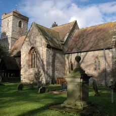
Church of St Peter and St Paul
3.4 km
Little Malvern Court
3.7 km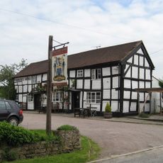
Farmers Arms Public House
2.2 km
Sunnyside
2.6 km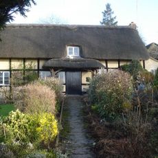
The Haven
2.6 km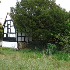
Rough Chase And Outbuilding Adjoining To West
2.4 km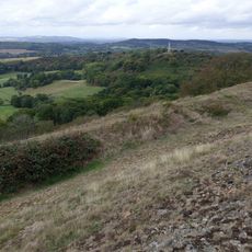
Midsummer Hill Camp
1 km
Herefordshire Beacon Camp
3.3 km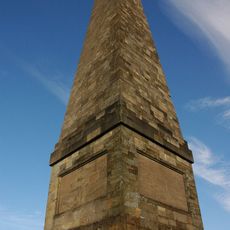
Obelisk At National Grid Reference So 7523
2 km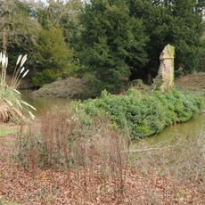
Bronsil Castle Bridge And Moat
2 km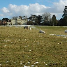
Bromsberrow Place
2.7 km
Hayes Farmhouse
3.2 km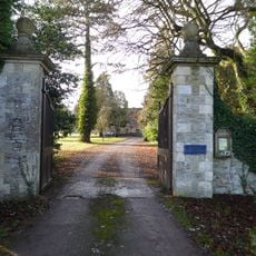
Pair Of Gate Piers On Roadside Approximately 50 Metres South-East Of Church Of St Peter And St Paul
3.5 km
Milestone At National Grid Reference So 7600 3689
888 m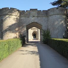
Portcullis Lodge And Retaining Walls To Forecourt Of Eastnor Caslte
3.4 km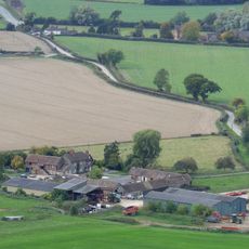
Netherton Farmhouse And Attached Dairy Building At Rear
3.3 km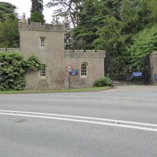
Castle Lodge And Gates
3.6 km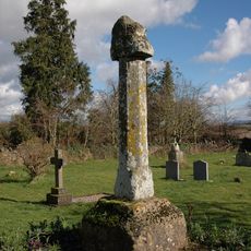
Cross Approx 50M North Of Church Of St Faith
3.4 km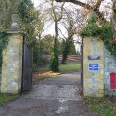
Pair Of Gate Piers On Roadside Approximately 50 Metres North-East Of Church Of St Peter And St Paul
3.5 km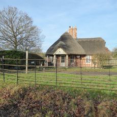
Lodge, Circa 430 Metres South West Of Bromsberrow Place
3.1 km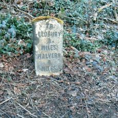
Milestone, N of The Beacon
3.7 kmRecensioni
Ha visitato questo luogo? Tocchi le stelle per valutarlo e condividere la Sua esperienza o foto con la community! Provalo ora! Puoi annullarlo in qualsiasi momento.
Scopri tesori nascosti ad ogni viaggio!
Da piccoli caffè caratteristici a panorami nascosti, fuggi dalla folla e scova i posti che fanno davvero per te. La nostra app ti semplifica tutto: ricerca vocale, filtri furbi, percorsi ottimizzati e dritte autentiche da viaggiatori di tutto il mondo. Scaricala subito per vivere l'avventura sul tuo smartphone!

Un nuovo approccio alla scoperta turistica❞
— Le Figaro
Tutti i luoghi che meritano di essere esplorati❞
— France Info
Un’escursione su misura in pochi clic❞
— 20 Minutes