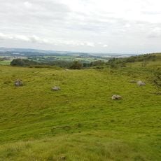
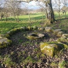
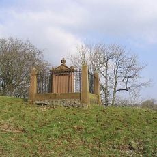
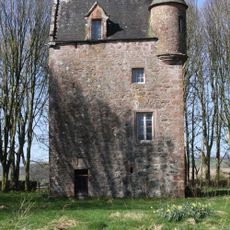
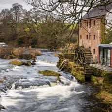
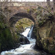
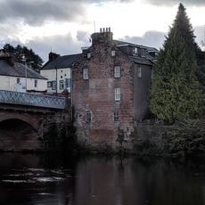
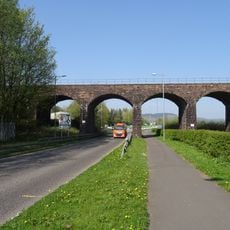
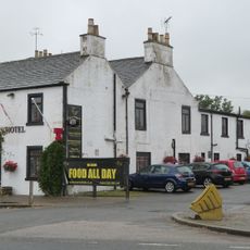
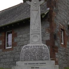
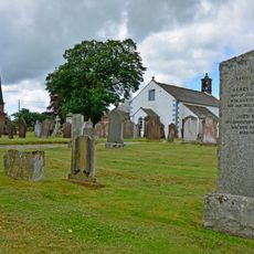
Lochrutton, Scottish parish in Dumfries and Galloway, Scotland, UK
Posizione: Dumfries and Galloway
Confina con: Terregles, Troqueer, New Abbey, Kirkgunzeon, Urr, Kirkpatrick Irongray
Coordinate GPS: 55.03730,-3.74233
Ultimo aggiornamento: 7 aprile 2025 alle 09:33
Hills Tower
2.5 km
Glenkiln Sculpture Park
6.8 km
Kingholm Quay
8.7 km
Drumcoltran Tower
4.9 km
Easthill stone circle
3.4 km
St Queran's Well
6.9 km
Hallhill, Martyr's Tomb
7.2 km
Fourmerkland Tower
8.2 km
Goldielea Viaduct
4.4 km
Irongray Church And Churchyard
7.3 km
Kirkgunzeon Parish Church
6.4 km
Lochend Church Of Scotland
3.6 km
East Cluden Mill
8.5 km
Routin Bridge
6.9 km
Dumfries, 3, 4 Galloway Street, Clydesdale Bank
8.7 km
Drumpark House, East Lodge
7.4 km
46 Galloway Street, Dumfries
8.7 km
Garroch Viaduct
6.4 km
Crocketford, Castle Douglas Road, The Galloway Arms Hotel
5.6 km
Kirkgunzeon, War Memorial
6.4 km
Dumfries, 1, 2 Galloway Street
8.7 km
Newtonairds, Lodge
7.2 km
Dumfries, 13-19 Glasgow Street
8.6 km
43, 44 Galloway Street, Dumfries
8.7 km
45 Galloway Street, Dumfries
8.7 km
Kirkgunzeon Churchyard
6.4 km
Dumfries, 1 Glasgow Street
8.6 km
Dumfries, New Abbey Road, Maxwelltown War Memorial
8.2 kmHa visitato questo luogo? Tocchi le stelle per valutarlo e condividere la Sua esperienza o foto con la community! Provalo ora! Puoi annullarlo in qualsiasi momento.
Scopri tesori nascosti ad ogni viaggio!
Da piccoli caffè caratteristici a panorami nascosti, fuggi dalla folla e scova i posti che fanno davvero per te. La nostra app ti semplifica tutto: ricerca vocale, filtri furbi, percorsi ottimizzati e dritte autentiche da viaggiatori di tutto il mondo. Scaricala subito per vivere l'avventura sul tuo smartphone!
Un nuovo approccio alla scoperta turistica❞
— Le Figaro
Tutti i luoghi che meritano di essere esplorati❞
— France Info
Un’escursione su misura in pochi clic❞
— 20 Minutes