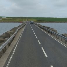
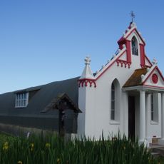
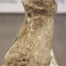
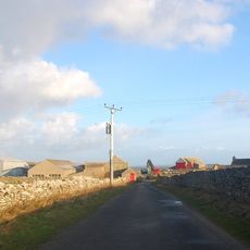
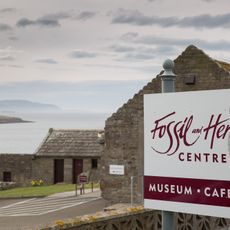
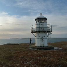
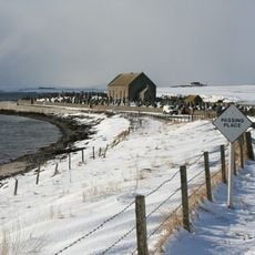
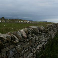
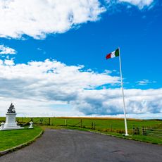
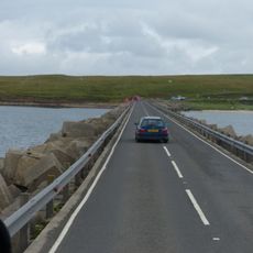
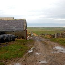
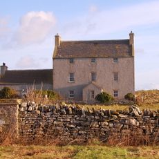
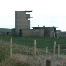
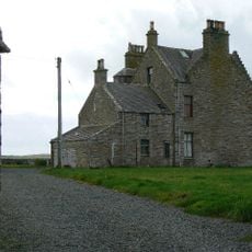
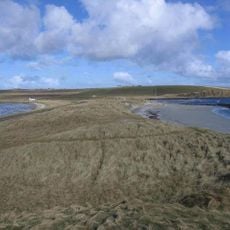
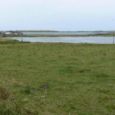
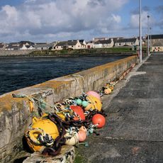
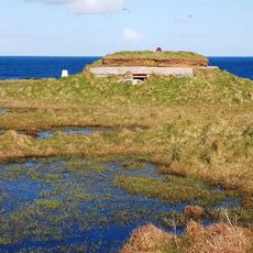
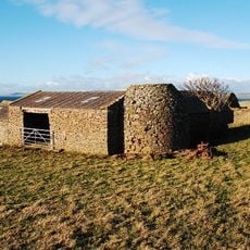
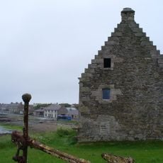
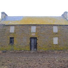
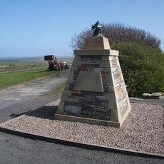
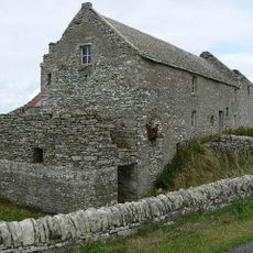
Holm, Scottish parish in Orkney Islands, Scotland, UK
Posizione: Orkney Islands
Confina con: South Ronaldsay, Kirkwall and St Ola, St Andrews and Deerness
Coordinate GPS: 58.91197,-2.88776
Ultimo aggiornamento: 6 marzo 2025 alle 06:00
Churchill Barriers
2.2 km
Cappella italiana
2.5 km
Mine Howe
3.6 km
East Broch of Burray
4.3 km
Bu sands pictish figure
5.7 km
Burray Bone Lair
6.2 km
Orkney Fossil and Vintage Centre
6.1 km
Rose Ness Lighthouse, Orkney
5.4 km
Holm, St Nicholas' Church
3.2 km
Burray, Southtown, St Lawrence's Church
6.7 km
Lamb Holm, Italian Chapel, Statue
2.5 km
Churchill Barrier No. 3
4.8 km
Store, Mirkady
6.4 km
Burray, Bu Of Burray
6 km
Holm Battery, coast artillery battery 195m SW of East Breckan
1.4 km
Braebuster
6.1 km
Dingy's Howe,broch,Upper Sanday
5.8 km
Loch of Ayre, broch at N end of,St Mary's
2.6 km
St Mary's, Pier
2.3 km
Burray Ness, anti-aircraft battery (WW1), Burray
6.8 km
Howa
3 km
St Mary's, Storehouse
2.1 km
Mirkady Point, Herring-curing Station
6.1 km
Wideford
6 km
Tankerness Mill
6 km
Tankerness, Hall Of Tankerness, Fishing Station, Pier
6.4 km
Mirkady
6.4 km
Tankerness, Old St Andrews Manse, Ancilliary Building
6.2 kmRecensioni
Ha visitato questo luogo? Tocchi le stelle per valutarlo e condividere la Sua esperienza o foto con la community! Provalo ora! Puoi annullarlo in qualsiasi momento.
Scopri tesori nascosti ad ogni viaggio!
Da piccoli caffè caratteristici a panorami nascosti, fuggi dalla folla e scova i posti che fanno davvero per te. La nostra app ti semplifica tutto: ricerca vocale, filtri furbi, percorsi ottimizzati e dritte autentiche da viaggiatori di tutto il mondo. Scaricala subito per vivere l'avventura sul tuo smartphone!
Un nuovo approccio alla scoperta turistica❞
— Le Figaro
Tutti i luoghi che meritano di essere esplorati❞
— France Info
Un’escursione su misura in pochi clic❞
— 20 Minutes