
Ringworks and baileys at Church Farm, ringwork fortification in Stockbury, Kent, UK
Posizione: Stockbury
Coordinate GPS: 51.32373,0.64825
Ultimo aggiornamento: 9 maggio 2025 alle 22:00
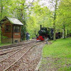
Bredgar and Wormshill Light Railway
3.8 km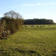
Queendown Warren
1.9 km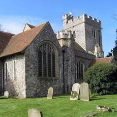
St Mary Magdalene Church, Stockbury
86 m
Bredgar & Wormshill Railway
4.2 km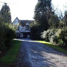
Newington Manor
3.1 km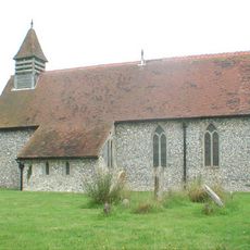
Church of St Margaret
3.4 km
Church of St Peter
4.7 km
Church of St Michael
2.8 km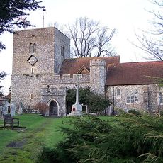
Church of St Peter and St Paul
3.9 km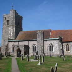
Church of St John the Baptist
3.6 km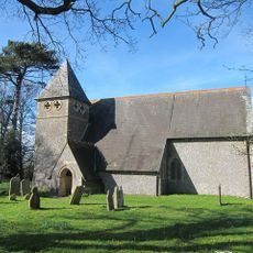
Church of St James
3.1 km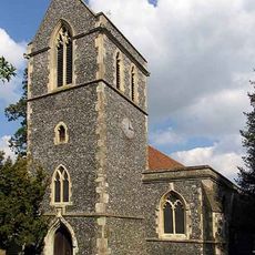
Church of St John the Baptist
5 km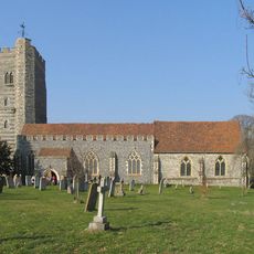
Church of St Mary
4.1 km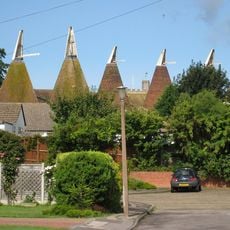
Oasthouses and Theatre, Medway
5 km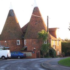
Oast House (Adjacent To Church Farmhouse)
4 km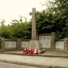
Hartlip War Memorial
2.7 km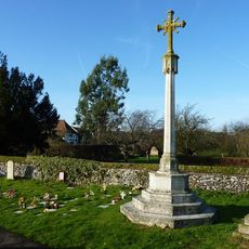
Newington War Memorial, Swale
4.1 km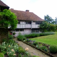
Bexon Manor
4.9 km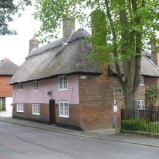
Thatch Cottage
2.7 km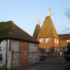
Pope Farm
3.7 km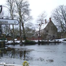
Chantry House
3.6 km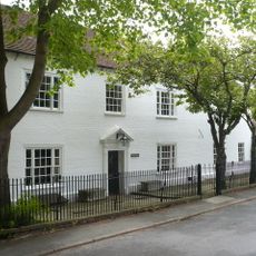
Hartlip House
2.7 km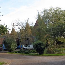
The Cowls The Oast The Press
4.2 km
Burnham House
3.6 km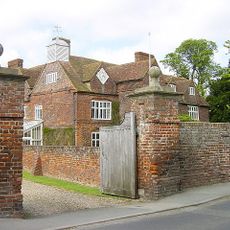
Tunstall House
4.8 km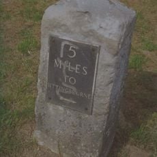
Milestone, between jcts of A20 with South Bush Lane and A20 with Seymour Road
4.2 km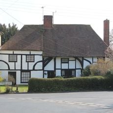
245 And 247, Borden Lane
4.3 km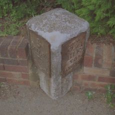
Milestone
3.5 kmRecensioni
Ha visitato questo luogo? Tocchi le stelle per valutarlo e condividere la Sua esperienza o foto con la community! Provalo ora! Puoi annullarlo in qualsiasi momento.
Scopri tesori nascosti ad ogni viaggio!
Da piccoli caffè caratteristici a panorami nascosti, fuggi dalla folla e scova i posti che fanno davvero per te. La nostra app ti semplifica tutto: ricerca vocale, filtri furbi, percorsi ottimizzati e dritte autentiche da viaggiatori di tutto il mondo. Scaricala subito per vivere l'avventura sul tuo smartphone!

Un nuovo approccio alla scoperta turistica❞
— Le Figaro
Tutti i luoghi che meritano di essere esplorati❞
— France Info
Un’escursione su misura in pochi clic❞
— 20 Minutes