
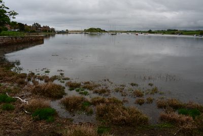
Aln Estuary Marine Conservation Zone, UK marine area established to protect nationally important, rare or threatened habitats and species
Posizione: Northumberland
Inizio: 21 novembre 2013
Coordinate GPS: 55.38750,-1.62111
Ultimo aggiornamento: 3 aprile 2025 alle 07:59
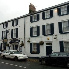
Schooner Hotel
556 m
St John the Baptist Parish Church, Alnmouth
555 m
Marine House Private Hotel
623 m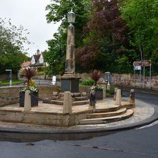
Alnmouth War Memorial
601 m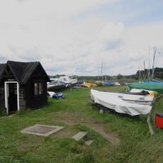
Ferryman's Hut Museum
499 m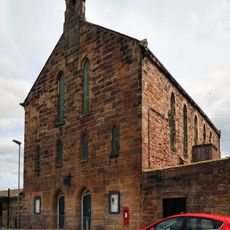
The Hindmarsh Hall
601 m
The Old Watch Tower And Attached Walls, In Grounds Of The Grange
457 m
The Duchess' Bridge
442 m
Barndale Cottage Barndale House
532 m
The Hall
515 m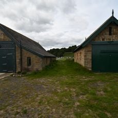
Lifeboat Station, Alnmouth
1 km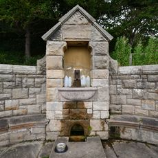
Pant On North Side Of Road To Lifeboat Station
884 m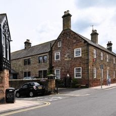
Driftwood Lodge
578 m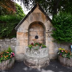
Pant On North Side Of Junction With The Wynd
588 m
Alm House
546 m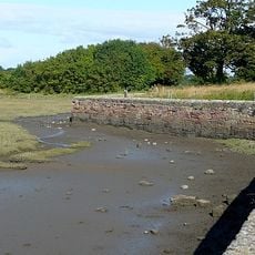
Old Harbour Wall
378 m
1-8, Lovaine Terrace
447 m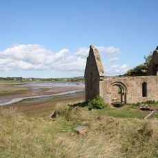
Ruined Chapel On West Side Of Church Hill
685 m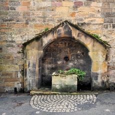
Pant Adjacent To Driftwood Lodge
590 m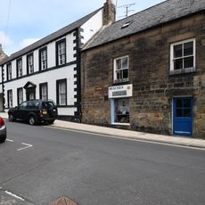
The Galleon
564 m
Seabank
567 m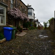
6,7 And 8 With Attached Wall, Prospect Place
596 m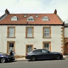
Seafield
540 m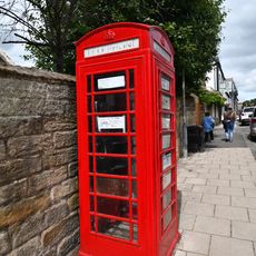
K6 Telephone Kiosk
543 m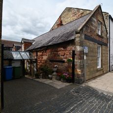
14, Northumberland Street
542 m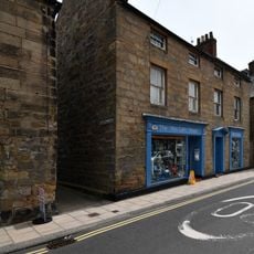
The Aln
571 m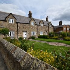
1-4 Victoria Place with Attached Wall to North West
603 m
7 And 7A, Northumberland Street
563 mRecensioni
Ha visitato questo luogo? Tocchi le stelle per valutarlo e condividere la Sua esperienza o foto con la community! Provalo ora! Puoi annullarlo in qualsiasi momento.
Scopri tesori nascosti ad ogni viaggio!
Da piccoli caffè caratteristici a panorami nascosti, fuggi dalla folla e scova i posti che fanno davvero per te. La nostra app ti semplifica tutto: ricerca vocale, filtri furbi, percorsi ottimizzati e dritte autentiche da viaggiatori di tutto il mondo. Scaricala subito per vivere l'avventura sul tuo smartphone!

Un nuovo approccio alla scoperta turistica❞
— Le Figaro
Tutti i luoghi che meritano di essere esplorati❞
— France Info
Un’escursione su misura in pochi clic❞
— 20 Minutes