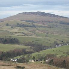
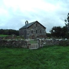
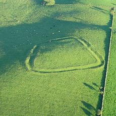
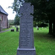
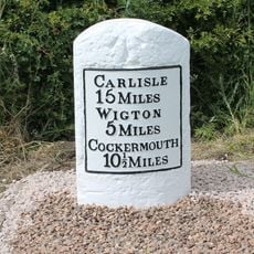
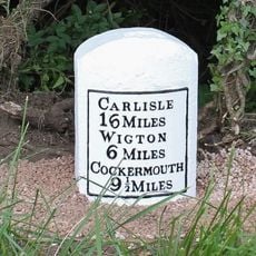
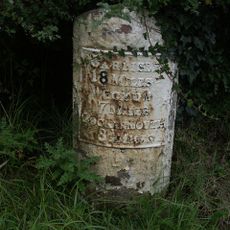
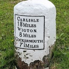
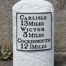
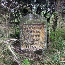
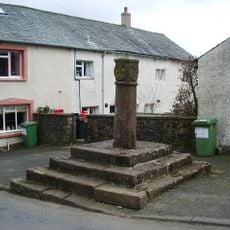
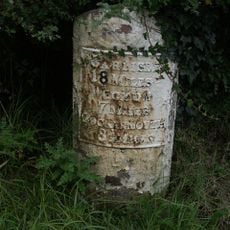
Cumberland, unitary council area in Cumbria, England
Posizione: Cumbria
Inizio: 1 aprile 2023
Coordinate GPS: 54.75000,-3.25000
Ultimo aggiornamento: 5 marzo 2025 alle 23:05
Binsey
5.5 km
Brayton Hall
3.6 km
St. Kentigern's Church, Aspatria
5.2 km
All Saints Church, Boltongate
3.4 km
St Michael's Church, Torpenhow
1 km
Ireby Old Church
2.9 km
Caer Mote
3.1 km
Church of St Cuthbert
5.6 km
Mealsgate War Memorial
2.3 km
Church of St James
4.9 km
Church of All Saints
1.8 km
Church of Allhallows
2.3 km
Dovecote South Of Church Of St Cuthbert
5.5 km
Sir Wilfrid Lawson Memorial And Drinking Trough
5.5 km
Milestone East Of Pink House Hotel
2.6 km
Milestone West Of High Scales
5.3 km
War Memorial on Village Green
2.3 km
Milestone East Of Aldersceugh
1.1 km
Footbridge At Aspatria Station
5.3 km
Gate Piers And Wall In Front Of Plumbland House
5 km
Milestone South West Of Kirkland Green
578 m
Milestone On West Side Of Former A595
1.9 km
Milestone
5.7 km
Milestone West Of Percy Hill
4.2 km
Plumbland House
5 km
Butter Cross
4.4 km
Milestone, Overgates, Kirkland Grove
2.7 km
Milestone, Threapland Park
4.8 kmHa visitato questo luogo? Tocchi le stelle per valutarlo e condividere la Sua esperienza o foto con la community! Provalo ora! Puoi annullarlo in qualsiasi momento.
Scopri tesori nascosti ad ogni viaggio!
Da piccoli caffè caratteristici a panorami nascosti, fuggi dalla folla e scova i posti che fanno davvero per te. La nostra app ti semplifica tutto: ricerca vocale, filtri furbi, percorsi ottimizzati e dritte autentiche da viaggiatori di tutto il mondo. Scaricala subito per vivere l'avventura sul tuo smartphone!
Un nuovo approccio alla scoperta turistica❞
— Le Figaro
Tutti i luoghi che meritano di essere esplorati❞
— France Info
Un’escursione su misura in pochi clic❞
— 20 Minutes