
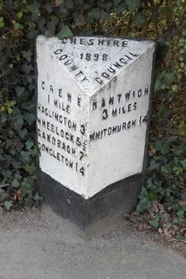
Milepost, Crewe Road; midway between Broughton Lane and Laidon Avenue jcts
Milepost, Crewe Road; midway between Broughton Lane and Laidon Avenue jcts, milepost in Wistaston, Crewe And Nantwich, UK
Posizione: Crewe and Nantwich
Inizio: 19 secolo
Coordinate GPS: 53.08159,-2.45942
Ultimo aggiornamento: 2 marzo 2025 alle 23:17

Bentley Crewe
2.7 km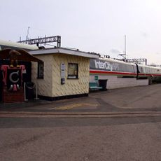
Crewe Heritage Centre
2 km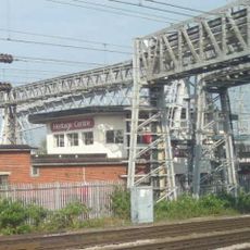
Crewe North Junction signal box
2 km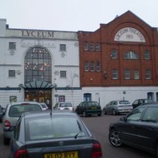
Lyceum Theatre
2.3 km
St Michael's Church, Coppenhall
2.8 km
St Mary's Church, Crewe
2 km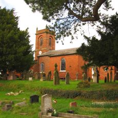
Church of St Mary the Virgin, Wistaston
1.2 km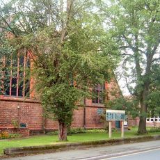
St Barnabas' Church, Crewe
2.3 km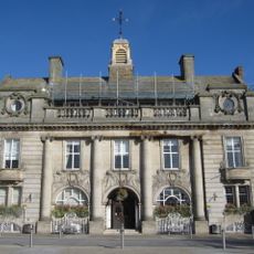
The Municipal Buildings
2.3 km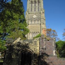
Christ Church Tower, Crewe
2.1 km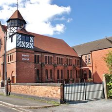
Union Street Baptist Church, Crewe
1.7 km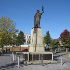
Crewe War Memorial
2.3 km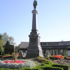
Boer War Memorial, Crewe
1.8 km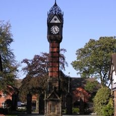
Clock Tower in Queen's Park
2 km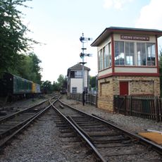
Crewe Heritage Centre
2.1 km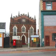
Christadelphian Hall
1.9 km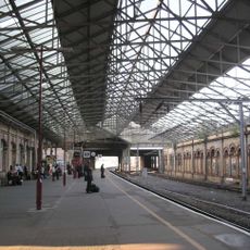
1867 buildings at Crewe Railway Station
2 km
Webb Orphanage, now Webb House
2.2 km
47, Delamere Street
2 km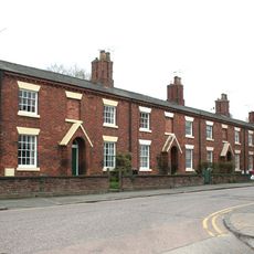
76–90A, Victoria Street
2.1 km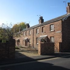
1–19, Betley Street
2 km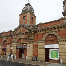
The Market Hall
2.3 km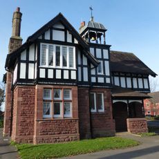
West Lodge at Queen's Park
2 km
East Lodge at Queen's Park
2 km
1–19, Dorfold Street
2.1 km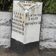
Milepost, SW of Huntsback Farm; S of Wistaton road
1.5 km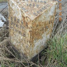
Milepost, SW of Rising Sun PH
2.3 km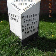
Milepost, High Street, nr Shavington village school
2.2 kmHa visitato questo luogo? Tocchi le stelle per valutarlo e condividere la Sua esperienza o foto con la community! Provalo ora! Puoi annullarlo in qualsiasi momento.
Scopri tesori nascosti ad ogni viaggio!
Da piccoli caffè caratteristici a panorami nascosti, fuggi dalla folla e scova i posti che fanno davvero per te. La nostra app ti semplifica tutto: ricerca vocale, filtri furbi, percorsi ottimizzati e dritte autentiche da viaggiatori di tutto il mondo. Scaricala subito per vivere l'avventura sul tuo smartphone!

Un nuovo approccio alla scoperta turistica❞
— Le Figaro
Tutti i luoghi che meritano di essere esplorati❞
— France Info
Un’escursione su misura in pochi clic❞
— 20 Minutes