
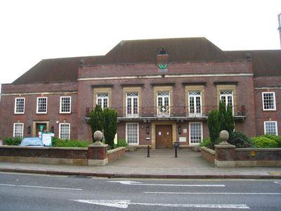
Municipal Offices, High Wycombe, municipal Building in England
Posizione: High Wycombe
Coordinate GPS: 51.62769,-0.74861
Ultimo aggiornamento: 7 marzo 2025 alle 17:40
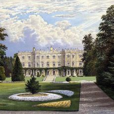
Hughenden Manor
2.6 km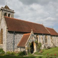
St Michael and All Angels Church, Hughenden
2.7 km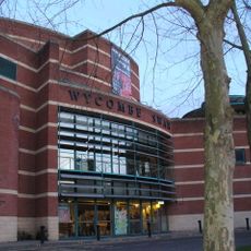
Wycombe Swan
136 m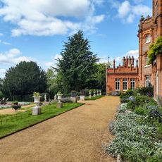
National Trust - Hughenden
2.7 km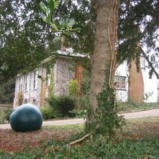
Wycombe Museum
403 m
Wycombe Summit
2 km
Desborough Castle
2.1 km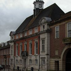
Former Town Hall
71 m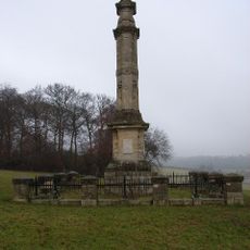
Disraeli Monument
2.1 km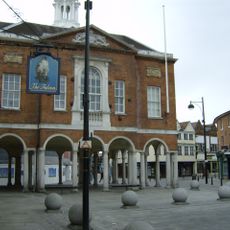
High Wycombe Guildhall
264 m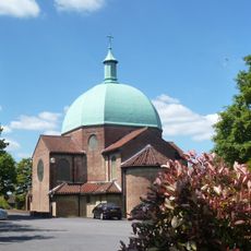
Church of St Mary and St George
2.1 km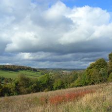
Millfield Wood
2.6 km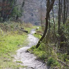
Gomm's Wood
2.9 km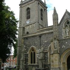
Church of All Saints, High Wycombe
287 m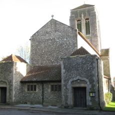
Church of Saint Francis
1.9 km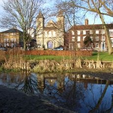
Trinity Congregational Church
377 m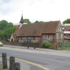
Church of St Anne
2.4 km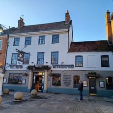
The Falcon Hotel
250 m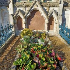
Monument To Disraeli Family, In Churchyard Against East Wall Of North Chapel
2.7 km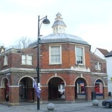
The Little Market House
255 m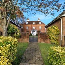
Loakes House
600 m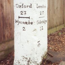
Milestone In Front Of The Halfway House
2.9 km
13, Pauls Row
229 m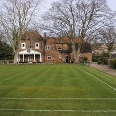
Bassetsbury Manor
1 km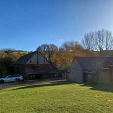
L Plan Range Of Farm Buildings To North East Of Church Farmhouse
3.1 km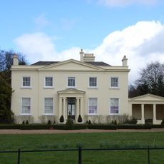
Brands House
2.9 km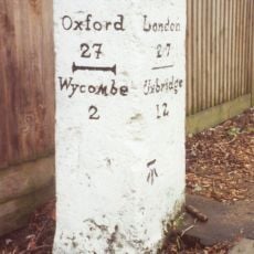
Milestone, London Road; King's Mead, E of town, was beside HalfwayHouse PH (since demolished 2011)
2.9 km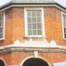
Milestone, Church Square; opp. Guild Hall on Market building known as the Pepper Pot
240 mHa visitato questo luogo? Tocchi le stelle per valutarlo e condividere la Sua esperienza o foto con la community! Provalo ora! Puoi annullarlo in qualsiasi momento.
Scopri tesori nascosti ad ogni viaggio!
Da piccoli caffè caratteristici a panorami nascosti, fuggi dalla folla e scova i posti che fanno davvero per te. La nostra app ti semplifica tutto: ricerca vocale, filtri furbi, percorsi ottimizzati e dritte autentiche da viaggiatori di tutto il mondo. Scaricala subito per vivere l'avventura sul tuo smartphone!

Un nuovo approccio alla scoperta turistica❞
— Le Figaro
Tutti i luoghi che meritano di essere esplorati❞
— France Info
Un’escursione su misura in pochi clic❞
— 20 Minutes