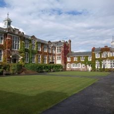
Ilford Park Polish Home, Centro residenziale assistenziale a Stover, Regno Unito
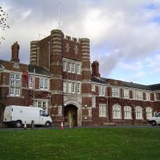
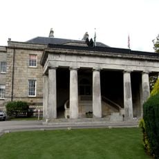
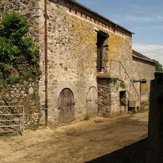
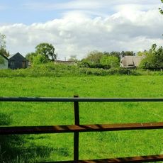
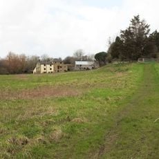
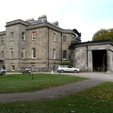
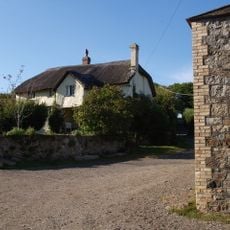
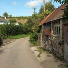
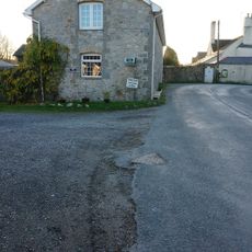
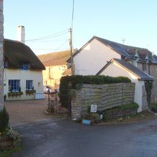
L'Ilford Park Polish Home è una struttura residenziale di assistenza a Stover che fornisce alloggiamenti per persone che necessitano di diversi livelli di supporto. Il complesso comprende sezioni separate per l'assistenza residenziale, l'assistenza infermieristica e la vita indipendente distribuite su più edifici.
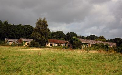
La struttura è stata fondata nel 1948 al campo di Stover come rifugio per i veterani polacchi dopo la Seconda guerra mondiale. Ha subito una ricostruzione importante nel 1987 e ha riaperto nel 1992 per servire meglio la comunità polacca insediata.
La struttura mantiene la lingua e gli elementi culturali polacchi attraverso il personale bilingue e dettagli tradizionali che risultano familiari ai residenti. Una connessione viva con la Polonia è visibile nella vita quotidiana e nelle relazioni.
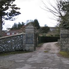
La struttura è una casa di cura specializzata gestita dal governo britannico che fornisce supporto medico ai residenti con esigenze di assistenza diverse. I visitatori dovrebbero essere consapevoli che l'accesso e le visite sono regolamentati poiché è un istituto di cura privato.
Questa è una delle ultime strutture operative rimaste di una rete di circa 45 campi istituiti dopo la Seconda guerra mondiale per le persone sfollate polacche. Il sito documenta quindi un capitolo importante della storia britannica del dopoguerra e della diaspora polacca.
La comunità dei viaggiatori curiosi
AroundUs riunisce migliaia di luoghi selezionati, consigli locali e gemme nascoste, arricchiti ogni giorno da oltre 60,000 contributori in tutto il mondo.