
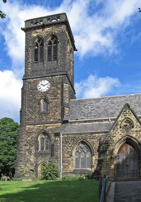
Christ Church, church building in Rotherham, South Yorkshire, UK
Posizione: Rotherham
Coordinate GPS: 53.50332,-1.36586
Ultimo aggiornamento: 3 marzo 2025 alle 11:07
Hoober Stand
2.8 km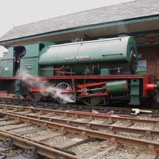
Elsecar Heritage Railway
3.7 km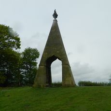
Needle's Eye
3.3 km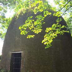
Rockingham Kiln
2.8 km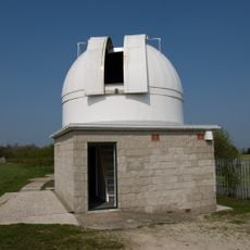
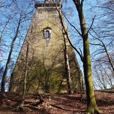
Hoober Observatory
2.7 km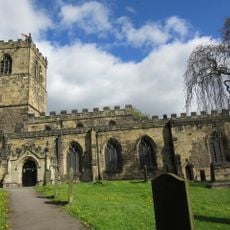
Church of All Saints
3.4 km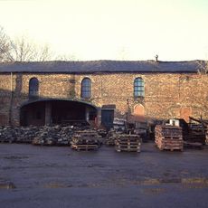
Elsecar Ironworks
3.6 km
Wath Hall
1.2 km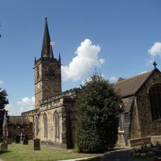
Church of All Saints
1.1 km
Church of the Holy Trinity
3.5 km
Church of St Margaret
3.4 km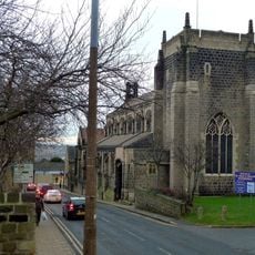
Church of St Mary
2.9 km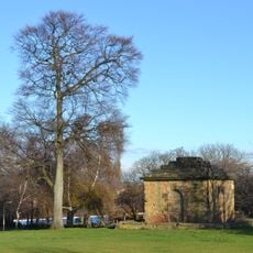
Mausoleum On East Side Of Newhill Park
1.2 km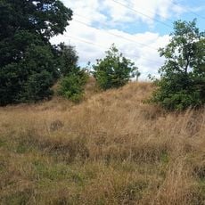
Roman Ridge: section 300yds (270m) long N of Birchwood (E of Chemical Cottages)
3.4 km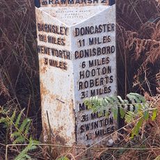
Milepost Opposite Warren House Cottage
3.1 km
Grand Cinema
787 m
Darfield Council Offices
3.4 km
Old Row And Attached Front Garden Walls
2.1 km
15, Fitzwilliam Street
3.6 km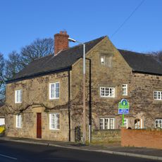
Hall Farmhouse
1.1 km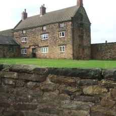
Hoober Hall
1.6 km
Milestone Approximately 30 Metres To North West Of Mausoleum Lodge
3.7 km
Hall Farmhouse
3.6 km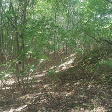
Roman Ridge: section 140yds (130m) long in Dyson's Plantation
3.5 km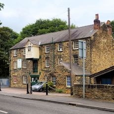
Elsecar Mill
3.5 km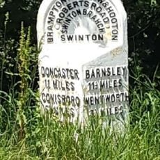
Milepost Approximately 45 Metres South West Of Junction With Abdy Lane
2.9 km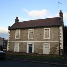
Hawthorne Farmhouse
3.7 km
Roman Ridge: section 400yds (370m) long S of Abdy Farm
2.6 kmRecensioni
Ha visitato questo luogo? Tocchi le stelle per valutarlo e condividere la Sua esperienza o foto con la community! Provalo ora! Puoi annullarlo in qualsiasi momento.
Scopri tesori nascosti ad ogni viaggio!
Da piccoli caffè caratteristici a panorami nascosti, fuggi dalla folla e scova i posti che fanno davvero per te. La nostra app ti semplifica tutto: ricerca vocale, filtri furbi, percorsi ottimizzati e dritte autentiche da viaggiatori di tutto il mondo. Scaricala subito per vivere l'avventura sul tuo smartphone!

Un nuovo approccio alla scoperta turistica❞
— Le Figaro
Tutti i luoghi che meritano di essere esplorati❞
— France Info
Un’escursione su misura in pochi clic❞
— 20 Minutes