
Home Farm, agricultural structure in Dowdeswell, Cotswold, Gloucestershire, UK
Posizione: Dowdeswell
Coordinate GPS: 51.87771,-2.00000
Ultimo aggiornamento: 3 marzo 2025 alle 05:25

Whittington Court
1.4 km
Lineover Wood
1.8 km
Sandywell Park
1.3 km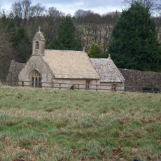
St Mary's Church, Shipton Solars
3.3 km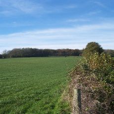
Arle Grove
1.7 km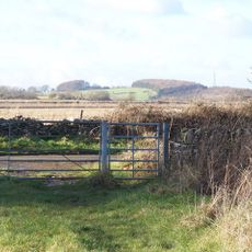
Puckham Woods
2.7 km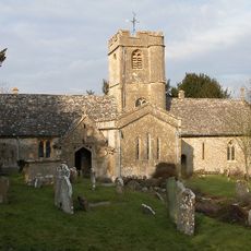
Church of St Andrew
3.7 km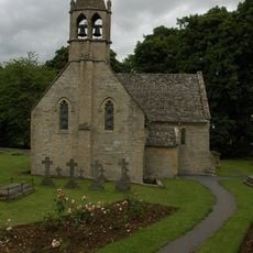
Church of St Oswald
3.9 km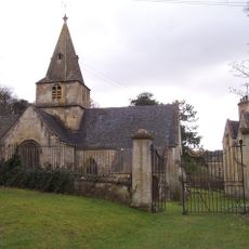
Church of Saint Michael and All Saints
25 m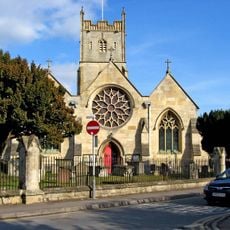
Church of St Mary
3.7 km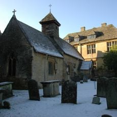
Church of St Bartholomew
1.4 km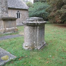
Group Of Four Monuments In The Churchyard Of The Church Of St Oswald, South Of South Transept And Chancel
3.9 km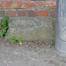
Gates, Gatepiers And Boundary Walls At Hewlett's Reservoir
3.5 km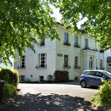
Charlton Lawn
3.8 km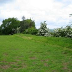
Camp at Upper Dowdeswell
1 km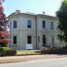
Lexham Lodge
3.8 km
Barn Circa 65 Metres North West Of Whittington Court
1.4 km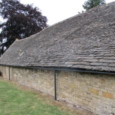
Barn, Stableblock, Granary/smithy And Kennel, Circa 40 Metres West Of Shipton Sollars
3.4 km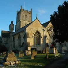
Churchyard cross in St Mary's churchyard
3.7 km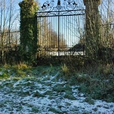
Gates, Gate Piers And Railings At Former West Entrance To Sandywell Park
838 m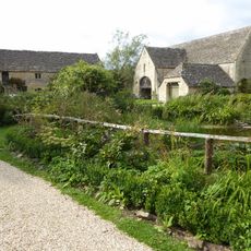
Stable Block Circa 65 Metres West Of Whittington Court
1.4 km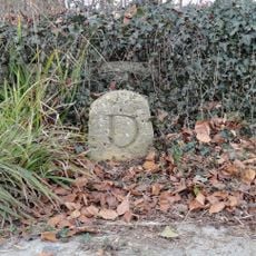
Boundary Stone
2.3 km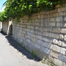
Boundary Wall, Three Gate Piers And Gate To Number 1
3.8 km
The Grove House
3.7 km
Courland
3.9 km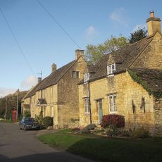
The Old Bakehouse
1.7 km
Milestone, Kilkenny
1.3 km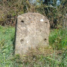
Milestone, E of Andoversford
2.9 kmRecensioni
Ha visitato questo luogo? Tocchi le stelle per valutarlo e condividere la Sua esperienza o foto con la community! Provalo ora! Puoi annullarlo in qualsiasi momento.
Scopri tesori nascosti ad ogni viaggio!
Da piccoli caffè caratteristici a panorami nascosti, fuggi dalla folla e scova i posti che fanno davvero per te. La nostra app ti semplifica tutto: ricerca vocale, filtri furbi, percorsi ottimizzati e dritte autentiche da viaggiatori di tutto il mondo. Scaricala subito per vivere l'avventura sul tuo smartphone!

Un nuovo approccio alla scoperta turistica❞
— Le Figaro
Tutti i luoghi che meritano di essere esplorati❞
— France Info
Un’escursione su misura in pochi clic❞
— 20 Minutes