
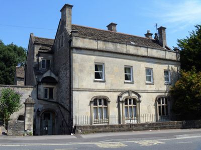
198, Bath Road, building in Bradford-on-Avon, Wiltshire, UK
Posizione: Bradford-on-Avon
Coordinate GPS: 51.35129,-2.24991
Ultimo aggiornamento: 25 marzo 2025 alle 02:07
St Thomas More Roman Catholic Church, Bradford-on-Avon
389 m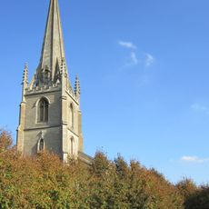
Christ Church, Bradford-on-Avon
70 m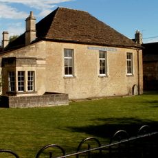
Bearfield Congregational Chapel
304 m
4 Gates With Lamp Bracket Over At South End Of Pathway Leading To Former Wesleyan Methodist Church
306 m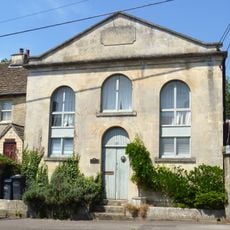
Former Primitive Methodist Church
198 m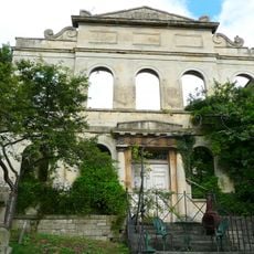
Former Wesleyan Methodist Church
255 m
Castle Hotel
119 m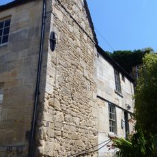
78, White Hill
352 m
Section Of Elevated Pavement In Front Of No 21, Plus Wall Running To Left, And Steps With Pathway Leading North Between No 21 And Nos 23 And 24
345 m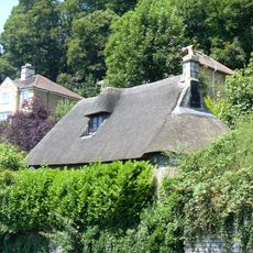
Thatched Cottage
321 m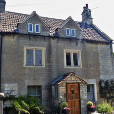
Hill House
234 m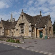
Mount Pleasant Community Centre
119 m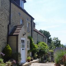
Ivy Terrace
146 m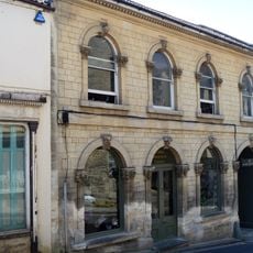
24, Silver Street
369 m
Christ Church Vicarage
181 m
1 and 2, Winsley Road
39 m
1, Woolley Street
371 m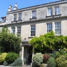
Audleys
384 m
22, Silver Street
378 m
1, Mount Pleasant
157 m
20 And 21, Silver Street
384 m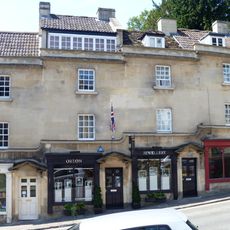
5-8, Market Street
364 m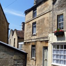
7, White Hill
348 m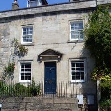
3, Woolley Street
378 m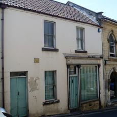
23, Silver Street
374 m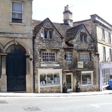
31, Market Street
364 m
Former Methodist Chapel To Rear Of No 29 Town Club
356 m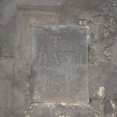
Milestone, Market St; Bradford
356 mHa visitato questo luogo? Tocchi le stelle per valutarlo e condividere la Sua esperienza o foto con la community! Provalo ora! Puoi annullarlo in qualsiasi momento.
Scopri tesori nascosti ad ogni viaggio!
Da piccoli caffè caratteristici a panorami nascosti, fuggi dalla folla e scova i posti che fanno davvero per te. La nostra app ti semplifica tutto: ricerca vocale, filtri furbi, percorsi ottimizzati e dritte autentiche da viaggiatori di tutto il mondo. Scaricala subito per vivere l'avventura sul tuo smartphone!

Un nuovo approccio alla scoperta turistica❞
— Le Figaro
Tutti i luoghi che meritano di essere esplorati❞
— France Info
Un’escursione su misura in pochi clic❞
— 20 Minutes