
Gas Nightclub, gas streetlight in Cheltenham, Gloucestershire, UK
Posizione: Cheltenham
Coordinate GPS: 51.90167,-2.08082
Ultimo aggiornamento: 17 aprile 2025 alle 23:09
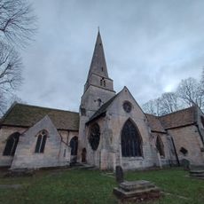
Cheltenham Minster, St Mary's
298 m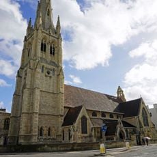
St Gregory's Church
39 m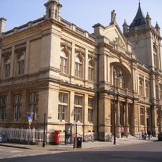
The Wilson
96 m
Sinagoga di Cheltenham
153 m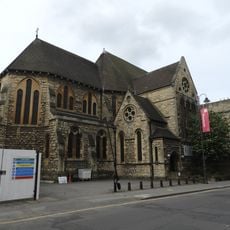
Church of St Matthew
173 m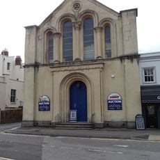
Bayshill Unitarian Church
296 m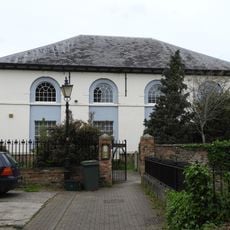
Chapel House
169 m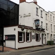
Handel House (Number 51) And St Georges Vaults Public House (Number 53) And Railings
162 m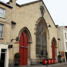
Salem Baptist Chapel
267 m
Cheltenham Library
193 m
Number 27 And Attached Railings
177 m
Numbers 89 To 103 And Attached Area Railings
242 m
Numbers 15 And 17 And Attached Area Railings
212 m
Kraft Offices
331 m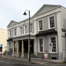
Promenade House (Echo Office)
306 m
St Gregorys Priory
49 m
Shaftesbury Hall
110 m
St Georges Terrace Numbers 6 7 And 8 And Attached Railings
159 m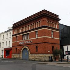
Electricity House
149 m
Numbers 1 To 4 And Attached Railings
260 m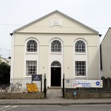
Christadelphian Hall
61 m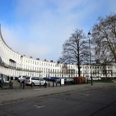
1-18 Royal Crescent
220 m
Numbers 16 And 18 And Attached Area Railings
224 m
Normandy House And Attached Railings
238 m
11, St Georges Place
221 m
Lavernham House
188 m
Johndower House (Countryside Commission) And Attached Railings
221 m
St Georges Terrace Number 5 And Attached Railings
168 mRecensioni
Ha visitato questo luogo? Tocchi le stelle per valutarlo e condividere la Sua esperienza o foto con la community! Provalo ora! Puoi annullarlo in qualsiasi momento.
Scopri tesori nascosti ad ogni viaggio!
Da piccoli caffè caratteristici a panorami nascosti, fuggi dalla folla e scova i posti che fanno davvero per te. La nostra app ti semplifica tutto: ricerca vocale, filtri furbi, percorsi ottimizzati e dritte autentiche da viaggiatori di tutto il mondo. Scaricala subito per vivere l'avventura sul tuo smartphone!

Un nuovo approccio alla scoperta turistica❞
— Le Figaro
Tutti i luoghi che meritano di essere esplorati❞
— France Info
Un’escursione su misura in pochi clic❞
— 20 Minutes