
Steyr Landeskrankenhaus, building in Steyr, Austria
Posizione: Steyr
Parte di: Pyhrn-Eisenwurzen Klinikum Steyr
Indirizzo: Sierninger Straße 170
Coordinate GPS: 48.04394,14.39309
Ultimo aggiornamento: 4 marzo 2025 alle 17:24
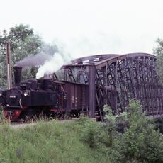
Steyr Valley Railway
660 m
Postamt Christkindl
751 m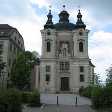
Wallfahrtskirche Christkindl
754 m
Gründbergsiedlung
733 m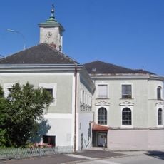
Steyr Annaberg 6
423 m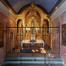
Steyr Christkindlweg Loretokapelle
763 m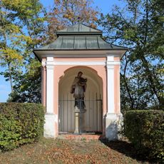
Nepomuk-Kapelle
737 m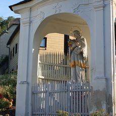
Steyr Hammerschmiedberg Hl.Johannes Nepomuk Kapelle
760 m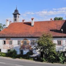
Ehem. Herren- oder Sondersiechenhaus samt Dreifaltigkeitskapelle
620 m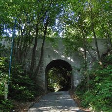
Steyr Christkindlweg-Brücke
738 m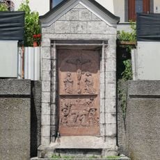
Kunz-Horn-Epitaph
874 m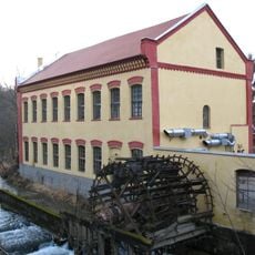
Steyr Unterhimmler Straße 1, 2
538 m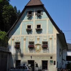
Ehemalige Papiermühle Roseggerstraße 3, Steyr
786 m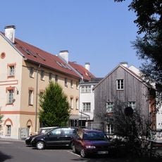
Steyr, Fabrikstraße 37, 39
742 m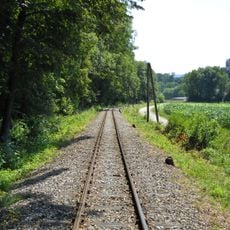
Eisenbahnstrecke
724 m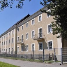
Schwesternschule, ehem. Armenpflegehaus
201 m
Sankt-Anna-Schule
504 m
Pfarrhof Christkindl
778 m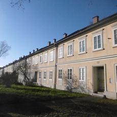
Arbeitersiedlung Neustraße, Steyr
281 m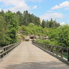
Schwarze Brücke
237 m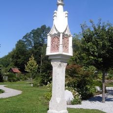
Lichtsäule
206 m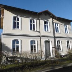
Bürgerhaus, sog. Fischer-Villa
703 m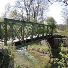
Eisenbahnstrecke
609 m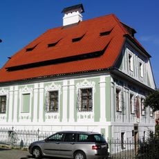
Bürgerhaus, Voglhaus
735 m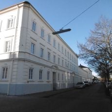
Arbeiterwohnheim Wehrgrabengasse
675 m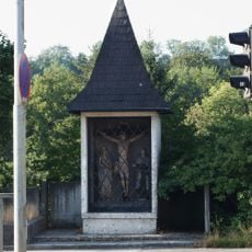
Annaberg-Kapelle
356 m
Ehem. Gemischtwarenhandlung
849 m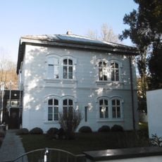
Sommerhaus von Josef Werndl, sog. Wasservilla
856 mRecensioni
Ha visitato questo luogo? Tocchi le stelle per valutarlo e condividere la Sua esperienza o foto con la community! Provalo ora! Puoi annullarlo in qualsiasi momento.
Scopri tesori nascosti ad ogni viaggio!
Da piccoli caffè caratteristici a panorami nascosti, fuggi dalla folla e scova i posti che fanno davvero per te. La nostra app ti semplifica tutto: ricerca vocale, filtri furbi, percorsi ottimizzati e dritte autentiche da viaggiatori di tutto il mondo. Scaricala subito per vivere l'avventura sul tuo smartphone!

Un nuovo approccio alla scoperta turistica❞
— Le Figaro
Tutti i luoghi che meritano di essere esplorati❞
— France Info
Un’escursione su misura in pochi clic❞
— 20 Minutes