Attiva posizione

Abbiamo bisogno della tua posizione per mostrarti luoghi interessanti intorno a te

Scopri luoghi nelle vicinanze

Trova luoghi interessanti e gemme nascoste intorno a te

Indicazioni precise

Ottieni indicazioni precise e distanze verso i luoghi

La tua posizione non viene mai condivisa con altri utenti. Viene utilizzata solo quando tocchi il pulsante posizione.

Lichtentanne

Accedi al tuo account

Inizia a esplorare — è gratis

Scelto da 65.473 viaggiatori nel mondo

Continua con Google
Continua con Apple
o

Ti invieremo un codice per connetterti

Continuando, accetti i nostri Termini e Condizioni e la nostra Informativa sulla Privacy

Controlla la tua casella di posta

Abbiamo inviato un codice PIN nella tua casella di posta. Inserisci il codice qui sotto.

Discussion Recensioni 1 Foto
7.1k Popolarità

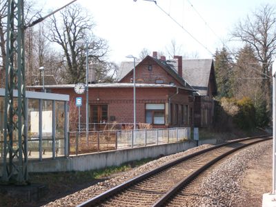
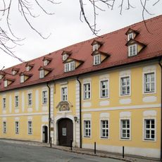
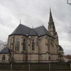
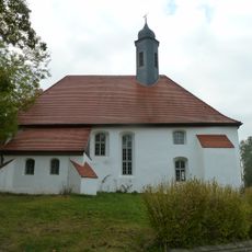
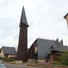
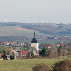
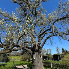
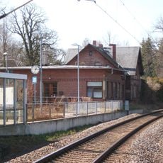
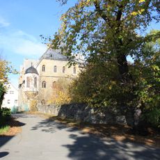
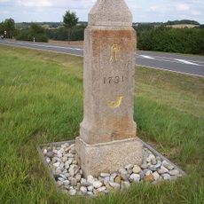
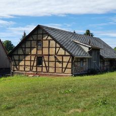
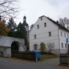
Lichtentanne, comune tedesco

La comunità dei viaggiatori curiosi

AroundUs riunisce migliaia di luoghi selezionati, consigli locali e gemme nascoste, arricchiti ogni giorno da oltre 60,000 contributori in tutto il mondo.

Inizia a esplorare
Posizione
Altezza sopra il mare
326 m
Coordinate GPS
50.69667,12.41722
Ultimo aggiornamento
6 marzo 2025 alle 06:46
Intorno a questo luogo
Burg Schönfels
Germania

Burg Schönfels

2.6 km
Schloss Planitz
Germania

Schloss Planitz

4.1 km
Lukaskirche Planitz
Germania

Lukaskirche Planitz

4.2 km
St. Barbara
Germania

St. Barbara

643 m
Versöhnungskirche Niederplanitz
Germania

Versöhnungskirche Niederplanitz

3.6 km
Wasserburg Ebersbrunn
Germania

Wasserburg Ebersbrunn

5.4 km
Turmhügelburg Schönfels
Germania

Turmhügelburg Schönfels

2.5 km
Kirche mit Ausstattung Rottmannsdorfer Hauptstraße -
Germania

Kirche mit Ausstattung Rottmannsdorfer Hauptstraße -

5.7 km
Birnbaum
Germania

Birnbaum

7.1 km
Bahnhof Lichtentanne
Germania

Bahnhof Lichtentanne

276 m
Schloss Neuschönfels
Germania

Schloss Neuschönfels

2.8 km
Viertelmeilenstein in Neumark
Germania

Viertelmeilenstein in Neumark

5.2 km
Wasserturm Oberplanitz
Germania

Wasserturm Oberplanitz

5.2 km
Schule, heute Kantorat Hauptstraße 30
Germania

Schule, heute Kantorat Hauptstraße 30

608 m
Bahnhof Voigtsgrün
Germania

Bahnhof Voigtsgrün

7 km
Station 137 Ebersbrunn
Germania

Station 137 Ebersbrunn

6 km
Manor house of Rittergut Untersteinpleis. Steinpleis (Werdau)
Germania

Manor house of Rittergut Untersteinpleis. Steinpleis (Werdau)

1.9 km
Burg Schönfels
Germania

Burg Schönfels

2.6 km
Polish-Saxon Post Milestone in Schönfels
Germania

Polish-Saxon Post Milestone in Schönfels

2.9 km
Gedenkstein für Chr. Frdr. Mayer Am Wald -
Germania

Gedenkstein für Chr. Frdr. Mayer Am Wald -

6.8 km
Dorfstraße 92; 92a
Germania

Dorfstraße 92; 92a

4.1 km
Weihergebiet Maxhütte
Germania

Weihergebiet Maxhütte

2.7 km
Feuchtgebiet Maxhütte
Germania

Feuchtgebiet Maxhütte

2.7 km
Einzeldenkmal o. g. Sachgesamtheit: Pfarrhaus der Lukaskirche sowie Torbogen aus Bruchsteinen Schloßparkstraße 50
Germania

Einzeldenkmal o. g. Sachgesamtheit: Pfarrhaus der Lukaskirche sowie Torbogen aus Bruchsteinen Schloßparkstraße 50

4.1 km
Teehaus (Planitz)
Germania

Teehaus (Planitz)

4.2 km
Sachgesamtheit Burg Altschönfels, mit den Einzeldenkmalen: Burg mit Bergfried, Kapelle und Vorburg (siehe Einzeldenkmalliste - Obj. 09237821) und dem Burgberg (mit Ringmauern und Resten der Gräben) als Sachgesamtheitsteil Burgstraße 34
Germania

Sachgesamtheit Burg Altschönfels, mit den Einzeldenkmalen: Burg mit Bergfried, Kapelle und Vorburg (siehe Einzeldenkmalliste - Obj. 09237821) und dem Burgberg (mit Ringmauern und Resten der Gräben) als Sachgesamtheitsteil Burgstraße 34

2.6 km
Schrotmühle Wappler (ehem.); Mittelmühle Gospersgrün (Fraureuth)
Germania

Schrotmühle Wappler (ehem.); Mittelmühle Gospersgrün (Fraureuth)

2.6 km
Einzeldenkmale der Sachgesamtheit Auferstehungskirche und Kirchhof Stenn: Kirche, Kapelle und Kirchhofeinfriedung (siehe auch Sachgesamtheitsliste - Obj. 09302110) An der Kirche -
Germania

Einzeldenkmale der Sachgesamtheit Auferstehungskirche und Kirchhof Stenn: Kirche, Kapelle und Kirchhofeinfriedung (siehe auch Sachgesamtheitsliste - Obj. 09302110) An der Kirche -

2 km
Mostra la mappa completa
Recensioni
Condividi la tua esperienza

Nessuna recensione

Discussioni
Avvia una discussione...

Nessuna discussione

« Lichtentanne - comune tedesco » è fornito da Around Us (it.aroundus.com). Le immagini e i testi sono tratti dal progetto Wikimedia con licenza Creative Commons. È possibile copiare, distribuire e modificare copie di questa pagina, alle condizioni stabilite dalla licenza, a condizione che questa nota sia chiaramente visibile.

Scopri tesori nascosti ad ogni viaggio!

Da piccoli caffè caratteristici a panorami nascosti, fuggi dalla folla e scova i posti che fanno davvero per te. La nostra app ti semplifica tutto: ricerca vocale, filtri furbi, percorsi ottimizzati e dritte autentiche da viaggiatori di tutto il mondo. Scaricala subito per vivere l'avventura sul tuo smartphone!

Around Us App Screenshot

Un nuovo approccio alla scoperta turistica

Le Figaro

Tutti i luoghi che meritano di essere esplorati

France Info

Un’escursione su misura in pochi clic

20 Minutes

Around Us
Guida di viaggio e mappe
Scarica

Invia al tuo telefono

QR Code
1

Apri l'app fotocamera sul tuo cellulare.

2

Inquadra il codice QR con la fotocamera. Apparirà una notifica.

3

Tocca la notifica per aprire il link.