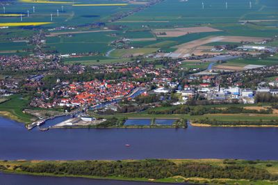
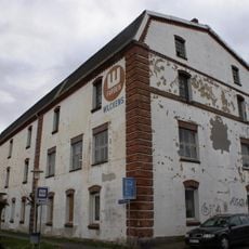
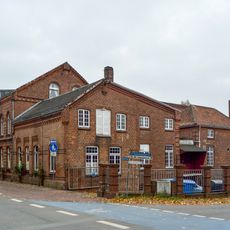
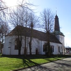
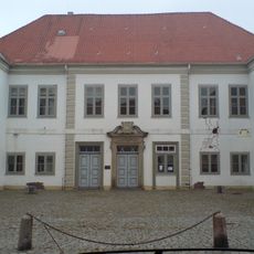
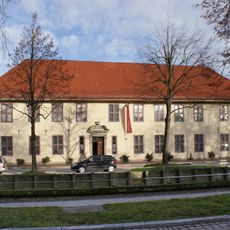
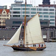
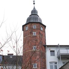
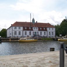
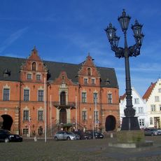
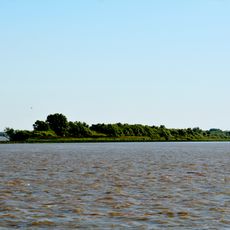
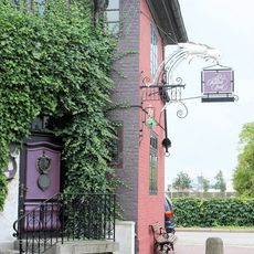
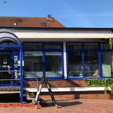
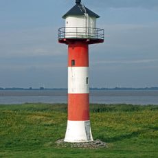
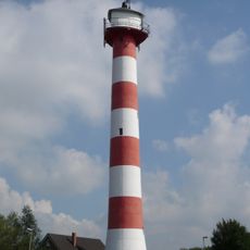
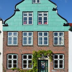
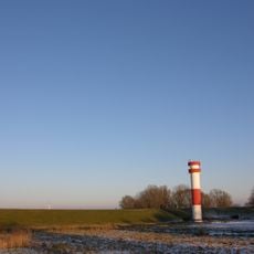
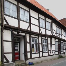
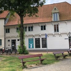
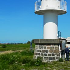
Glückstadt, municipality of Germany
Posizione: Steinburg
Inizio: 1617
Altezza sopra il mare: 2 m
Confina con: Stade, Kollmar, Engelbrechtsche Wildnis
Sito web: https://glueckstadt.de
Coordinate GPS: 53.79167,9.42194
Ultimo aggiornamento: 30 marzo 2025 alle 11:05
Glückstädter Schloss
749 m
Druckerei J. J. Augustin
276 m
Stadtkirche Glückstadt
454 m
Wasmer-Palais
550 m
Brockdorff-Palais
308 m
Rigmor
694 m
Palais Quasi non Possidentes (Glückstadt)
708 m
Königshof (Glückstadt)
669 m
Am Rethövel 9
771 m
Town hall in Glückstadt
371 m
Rhinplate und Elbufer südlich Glückstadt
2.3 km
Schilf- und Wasserfläche Krautsand/Ostende
5.9 km
Detlefsenmuseum
300 m
Gasthaus Alte Oper
624 m
Touristinformation Glückstadt
487 m
Glückstadt range front light
1.9 km
Glückstadt range rear light
685 m
Stolperstein dedicated to Paula ‚Pauline‘ Meyer
480 m
Wohnhaus Am Hafen 20
667 m
Stolperstein dedicated to Madga Levy
507 m
Orgel der Evangelisch-Lutherische Stadtkirche
441 m
Wohnhaus mit Löwenreliefs
294 m
Lower range light Krautsand
4.8 km
Wohnhaus Schlachterstraße 23
461 m
Ehemaliges Altersheim
531 m
Wohnhaus Am Markt 10
451 m
Wohnhaus Am Fleth 22
404 m
Glückstadt Harbour entry north
1.1 kmHa visitato questo luogo? Tocchi le stelle per valutarlo e condividere la Sua esperienza o foto con la community! Provalo ora! Puoi annullarlo in qualsiasi momento.
Scopri tesori nascosti ad ogni viaggio!
Da piccoli caffè caratteristici a panorami nascosti, fuggi dalla folla e scova i posti che fanno davvero per te. La nostra app ti semplifica tutto: ricerca vocale, filtri furbi, percorsi ottimizzati e dritte autentiche da viaggiatori di tutto il mondo. Scaricala subito per vivere l'avventura sul tuo smartphone!
Un nuovo approccio alla scoperta turistica❞
— Le Figaro
Tutti i luoghi che meritano di essere esplorati❞
— France Info
Un’escursione su misura in pochi clic❞
— 20 Minutes