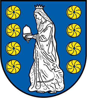
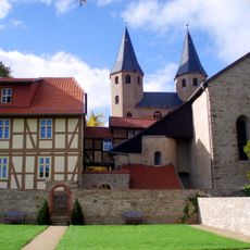
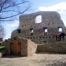
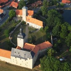
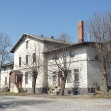
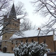
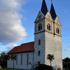
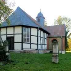
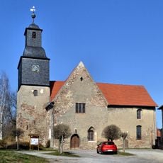
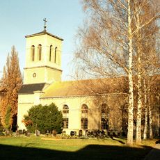
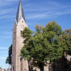
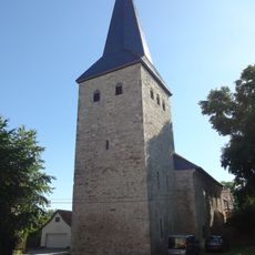
Nordharz, comune tedesco
Posizione: Harz District
Altezza sopra il mare: 170 m
Confina con: Blankenburg, Osterwieck, Wernigerode
Sito web: https://gemeinde-nordharz.de
Coordinate GPS: 51.90000,10.76670
Ultimo aggiornamento: 26 marzo 2025 alle 16:16
Monastero di Drübeck
6.1 km
Stapelburg Castle
6.7 km
Wasserburg Zilly
6.3 km
Ahlsburg
10.7 km
St. Andreas (Abbenrode)
10.2 km
Harzer Bike Schmiede
6.3 km
Protestant Church Derenburg
10.4 km
St. Katharinen (Darlingerode)
5.9 km
Wasserleben train station
3.4 km
Mühle Ostermann oder Mühle Kampe Danstedt
8.3 km
Rammelsbach
2.1 km
Hauptstraße 7
6 km
St. Bartholomäus (Drübeck)
5.8 km
Kirche zu Schauen
6.2 km
Protestant Church Minsleben
5.7 km
Gottesackerkirche
2.3 km
Protestant Church Berßel
6.2 km
Protestant Church Stapelburg
6.9 km
Protestant Church Wasserleben
2.3 km
Protestant Church Zilly
6.3 km
St. Martini (Veckenstedt)
2.3 km
Gefallenendenkmal
2.8 km
Protestant Church Langeln
2.2 km
Kirche St. Stephani
5.3 km
Protestant Church Reddeber
4.5 km
Schulstraße 12a, Schule
5.8 km
Zuckerfabrik Wasserleben
3.5 km
Wernigeröder Straße 1
724 mHa visitato questo luogo? Tocchi le stelle per valutarlo e condividere la Sua esperienza o foto con la community! Provalo ora! Puoi annullarlo in qualsiasi momento.
Scopri tesori nascosti ad ogni viaggio!
Da piccoli caffè caratteristici a panorami nascosti, fuggi dalla folla e scova i posti che fanno davvero per te. La nostra app ti semplifica tutto: ricerca vocale, filtri furbi, percorsi ottimizzati e dritte autentiche da viaggiatori di tutto il mondo. Scaricala subito per vivere l'avventura sul tuo smartphone!
Un nuovo approccio alla scoperta turistica❞
— Le Figaro
Tutti i luoghi che meritano di essere esplorati❞
— France Info
Un’escursione su misura in pochi clic❞
— 20 Minutes