
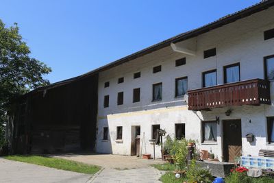
Hauptstraße 4, an das Bauernhaus angebaut, 18. Jh.; Stadel, Bundwerkstadel mit Flachsatteldach, frühes 19. Jh., und eingebautem Getreidekasten in Blockbauweise, älter
Posizione: Vogtareuth
Indirizzo: Hauptstraße 4
Coordinate GPS: 47.90462,12.14708
Ultimo aggiornamento: 4 marzo 2025 alle 05:02
Rathaus Schechen
3.3 km
Rinssee
3.8 km
St. Leonhardsquelle (Leonhardspfunzen)
2.3 km
Wallfahrtskirche St. Leonhard, Stephanskirchen
2.7 km
St. Peter
4 km
Vierzehn Nothelfer
4.1 km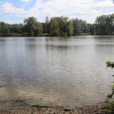
Schutz des Inntales
1.4 km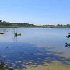
Inschutznahme des Hofstätter- und Rinssees in den Gemeinden Prutting, Söchtenau und Vogtareuth
2.8 km
Innleiten 100
3 km
St. Vitus
4.4 km
Church of Presentation of Virgin Mary
4.1 km
Mariä Heimsuchung
2.6 km
St. Georg
4.4 km
St. Vitus
63 m
St. Laurentius
2.2 km
Bahnhofstraße 5
2.9 km
St. Margaretha
3.2 km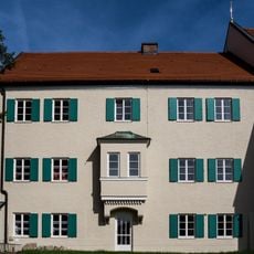
Kirchstraße 8
4.1 km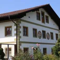
Westerndorfer Straße 71
4.3 km
Bei den Eichen
4.5 km
Unsere Liebe Frau Entmoos
3.9 km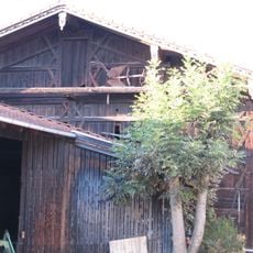
Stadel
4.4 km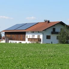
Stadel
3.4 km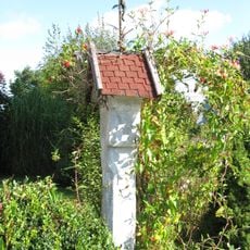
Bildstock
4.2 km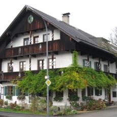
Pernauerstraße 5
4.6 km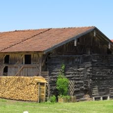
Stadel
2.2 km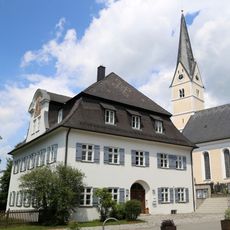
Pfarrhaus
2.3 km
Salzburger Straße 1
4.3 kmRecensioni
Ha visitato questo luogo? Tocchi le stelle per valutarlo e condividere la Sua esperienza o foto con la community! Provalo ora! Puoi annullarlo in qualsiasi momento.
Scopri tesori nascosti ad ogni viaggio!
Da piccoli caffè caratteristici a panorami nascosti, fuggi dalla folla e scova i posti che fanno davvero per te. La nostra app ti semplifica tutto: ricerca vocale, filtri furbi, percorsi ottimizzati e dritte autentiche da viaggiatori di tutto il mondo. Scaricala subito per vivere l'avventura sul tuo smartphone!

Un nuovo approccio alla scoperta turistica❞
— Le Figaro
Tutti i luoghi che meritano di essere esplorati❞
— France Info
Un’escursione su misura in pochi clic❞
— 20 Minutes