
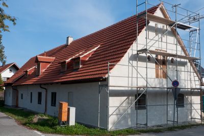
Bauernhaus mit Getreidekasten, building in Ergolding, Lower Bavaria, Germany
Posizione: Ergolding
Indirizzo: Lindenstraße 17, 17a
Coordinate GPS: 48.57758,12.17390
Ultimo aggiornamento: 17 marzo 2025 alle 14:37

Schloss Piflas (Ergolding)
2.7 km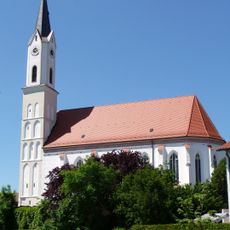
St. Peter und Paul (Ergolding)
1.1 km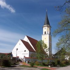
Mariä Heimsuchung (Ergolding)
63 m
St. Peter Altheim (Essenbach)
3 km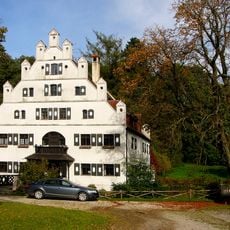
Schloss Holzen
3.3 km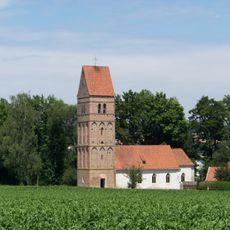
St. Andreas
2.8 km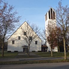
St. Vinzenz von Paul
2.6 km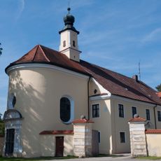
Schloss mit Stadel und Kapelle
2.7 km
LSG Altheimer Stausee
2.1 km
Schutz von Landschaftsteilen in den Unteren Isarauen am Altheimer Stausee
2.4 km
Kreisverordnung zum Schutze von Landschaftsteilen in der Gemeinde Altheim, Landkreis Landshut (St.-Andreas-Kirche)
2.8 km
Wachsender Stein E von Schönbrunn
3.3 km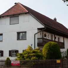
Bauernhaus
766 m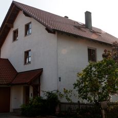
Bauernhaus
162 m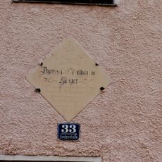
Haustafel zur Erbauung
272 m
Kleinbauernhaus
288 m
Säule
3.2 km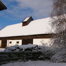
Stadel eines Vierseithofs
2.9 km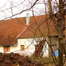
Ehemaliges Wohnstallhaus
1.8 km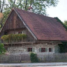
Ehemaliges Hirtenhaus
140 m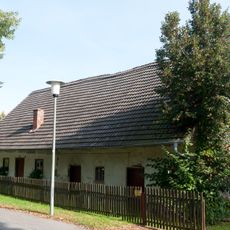
Bauernhaus
701 m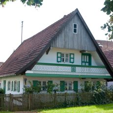
Wohnhaus
208 m
Pfarrhof
93 m
VIII. Burgfriedenssäule
2.9 km
Landshut-Schönbrunn-Wolfsbacher Weg 8
3.3 km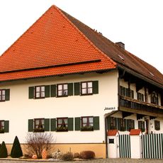
Ehemaliges Wohnstallhaus eines Vierseithofs
2.5 km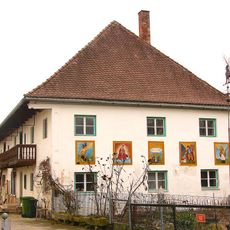
Landshuter Straße 4
1.8 km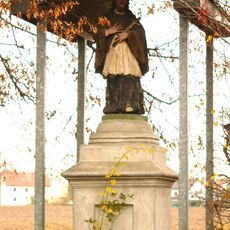
Figur des Johannes Nepomuk
2.8 kmRecensioni
Ha visitato questo luogo? Tocchi le stelle per valutarlo e condividere la Sua esperienza o foto con la community! Provalo ora! Puoi annullarlo in qualsiasi momento.
Scopri tesori nascosti ad ogni viaggio!
Da piccoli caffè caratteristici a panorami nascosti, fuggi dalla folla e scova i posti che fanno davvero per te. La nostra app ti semplifica tutto: ricerca vocale, filtri furbi, percorsi ottimizzati e dritte autentiche da viaggiatori di tutto il mondo. Scaricala subito per vivere l'avventura sul tuo smartphone!

Un nuovo approccio alla scoperta turistica❞
— Le Figaro
Tutti i luoghi che meritano di essere esplorati❞
— France Info
Un’escursione su misura in pochi clic❞
— 20 Minutes