
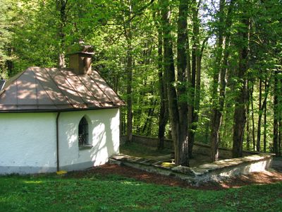
Pestfriedhof Vorderburg, 1635 angelegt; Friedhofsmauer, Mauergeviert aus Rollund Bruchstein, 17. Jahrhundert, 1867 repariert; Kapelle, Rechteckbau mit dreiseitigem Schluss und Dachreiter mit gedrungener Zwiebelhaube, 1873/74; mit Ausstattung; im ehemaligen Pestfriedhof
Posizione: Rettenberg
Indirizzo: Viehweide
Coordinate GPS: 47.60693,10.32847
Ultimo aggiornamento: 16 aprile 2025 alle 19:08
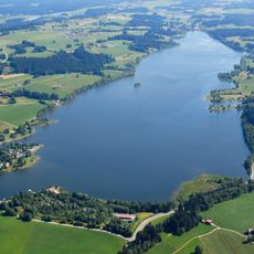
Rottachsee
2.5 km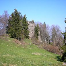
Burg Rettenberg
1.1 km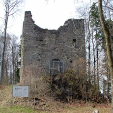
Burg Langenegg
2.8 km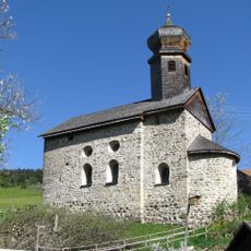
St. Nikolaus
816 m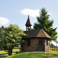
Asante-Christus-Kapelle
2.9 km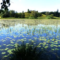
Widdumer Weiher
3.1 km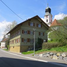
Rectory
2.5 km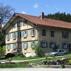
Rectory
468 m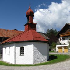
Kapelle
1 km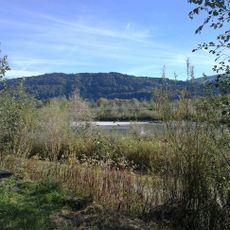
Illerschleife oberhalb Martinszell und unteres Rottachtal
1.7 km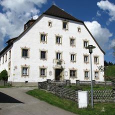
Fürstbischöfliches Amtshaus
1 km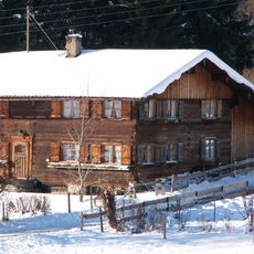
Bauernhaus
3.4 km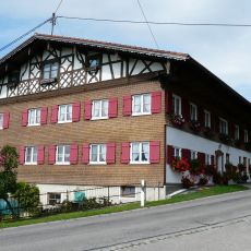
Bauernhaus
4.1 km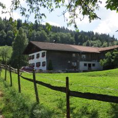
Ehemaliges Bauernhaus
4.1 km
Ehemaliges Kaplanhaus
583 m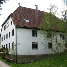
Ehemalige Riedermühle
2.6 km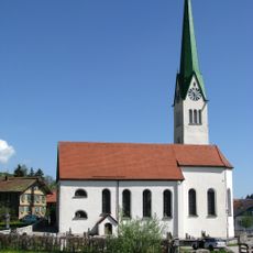
St. Blasius
466 m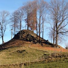
Cultural heritage D-7-8427-0018 in Rettenberg
2.3 km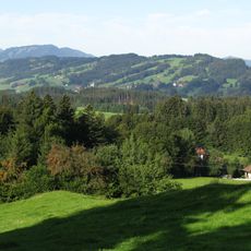
Rottachberg und Rottachschlucht
1.4 km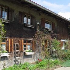
Ehemaliges Bauernhaus
2.5 km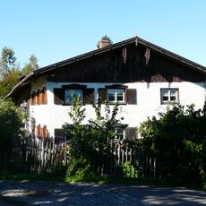
Bauernhaus
2.5 km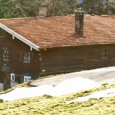
Bauernhaus
2.2 km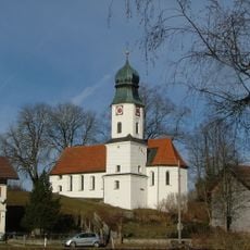
St. Antonius
2.5 km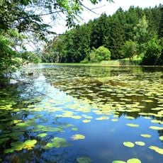
Naturschutzgebiet 'Widdumer Weiher' und Wasenmoos
3.4 km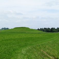
Cultural heritage D-7-8427-0010 in Rettenberg
924 m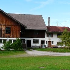
Wohnteil eines Bauernhauses
4 km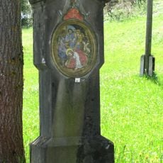
Kreuzwegstationen
306 m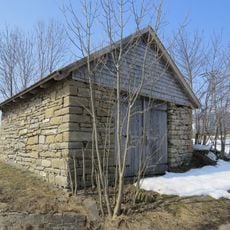
Stadel
3 kmHa visitato questo luogo? Tocchi le stelle per valutarlo e condividere la Sua esperienza o foto con la community! Provalo ora! Puoi annullarlo in qualsiasi momento.
Scopri tesori nascosti ad ogni viaggio!
Da piccoli caffè caratteristici a panorami nascosti, fuggi dalla folla e scova i posti che fanno davvero per te. La nostra app ti semplifica tutto: ricerca vocale, filtri furbi, percorsi ottimizzati e dritte autentiche da viaggiatori di tutto il mondo. Scaricala subito per vivere l'avventura sul tuo smartphone!

Un nuovo approccio alla scoperta turistica❞
— Le Figaro
Tutti i luoghi che meritano di essere esplorati❞
— France Info
Un’escursione su misura in pochi clic❞
— 20 Minutes