
Kirchplatz 18, umfassungsmauern der 1517 erbauten Martins- bzw. Sebastianskapelle; jetzt in Wohnhaus enthalten
Posizione: Regen
Indirizzo: Kirchplatz 18
Coordinate GPS: 48.97006,13.12775
Ultimo aggiornamento: 4 giugno 2025 alle 21:27
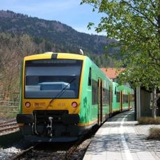
Bavarian Forest Railway
3.6 km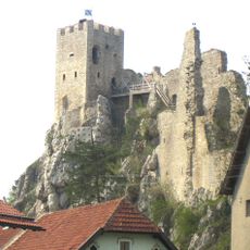
Weißenstein Castle
2.4 km
Stadtpfarrkirche St. Michael (Regen)
28 m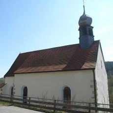
Sankt Johann in Regen
1.1 km
Heilig-Geist-Kirche
251 m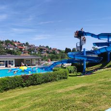
Freibad Regen
1 km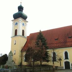
St. Petrus und Paulus (March)
4.5 km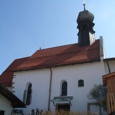
Heilig-Geist-Spitalkirche in Regen
277 m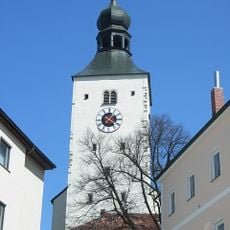
Katholische Stadtpfarrkirche St. Michael
37 m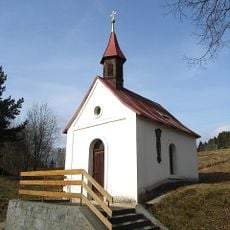
Ortskapelle
4 km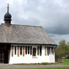
Kapellenbau
2.3 km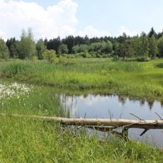
Stockwiesen bei Schollenried
3.2 km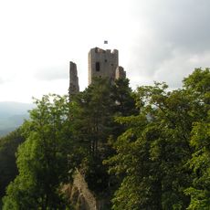
Pfahl bei der Ruine Weißenstein
2.3 km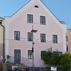
Wohnhaus
125 m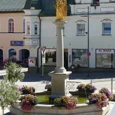
Mariensäule
97 m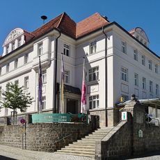
Niederbayerisches Landwirtschaftsmuseum
176 m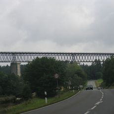
Eisenbahnbrücke
2 km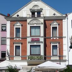
Stadtplatz 7
119 m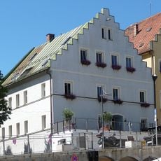
Verkehrsamt
146 m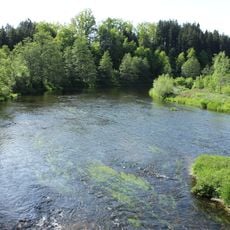
Oberlauf des Regens und Nebenbäche
3.7 km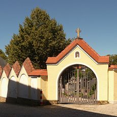
Friedhof
380 m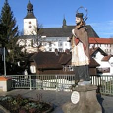
Steinstandbild St. Johann v. Nepomuk
116 m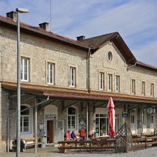
Station building at Regen station
633 m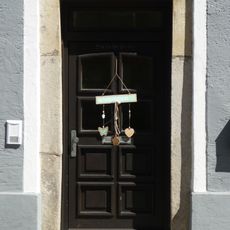
Steinerner Türsturz
150 m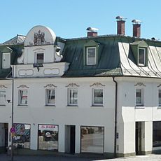
Wohn- und Geschäftshaus
91 m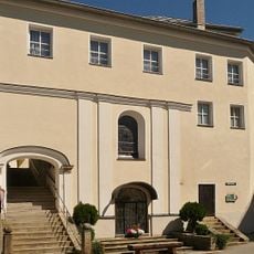
Gedeckte Steintreppe
18 m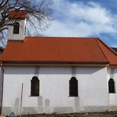
Kapellenbau
2.5 km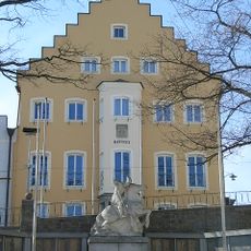
Rathaus
153 mRecensioni
Ha visitato questo luogo? Tocchi le stelle per valutarlo e condividere la Sua esperienza o foto con la community! Provalo ora! Puoi annullarlo in qualsiasi momento.
Scopri tesori nascosti ad ogni viaggio!
Da piccoli caffè caratteristici a panorami nascosti, fuggi dalla folla e scova i posti che fanno davvero per te. La nostra app ti semplifica tutto: ricerca vocale, filtri furbi, percorsi ottimizzati e dritte autentiche da viaggiatori di tutto il mondo. Scaricala subito per vivere l'avventura sul tuo smartphone!

Un nuovo approccio alla scoperta turistica❞
— Le Figaro
Tutti i luoghi che meritano di essere esplorati❞
— France Info
Un’escursione su misura in pochi clic❞
— 20 Minutes