
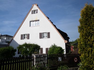
Spitalhof 1, building in Nuremberg, Middle Franconia, Germany
Posizione: Nuremberg
Indirizzo: Spitalhof 1
Coordinate GPS: 49.47386,11.12136
Ultimo aggiornamento: 8 marzo 2025 alle 18:29
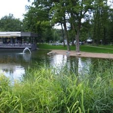
Schafhof
726 m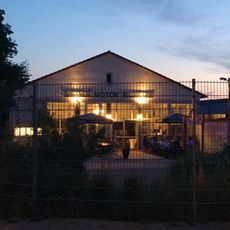
Merks Motor Museum
690 m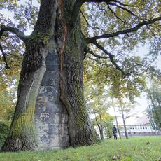
Platnersberg (Nuremberg-Erlenstegen)
596 m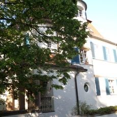
Erlenstegenstraße 28
855 m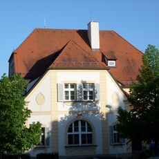
Erlenstegenstraße 18
880 m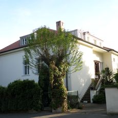
Grimmstraße 3
758 m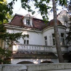
Erlenstegenstraße 44
856 m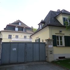
Eichendorffstraße 33
587 m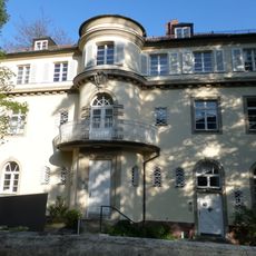
Erlenstegenstraße 40
851 m
Stielerstraße
705 m
Konrad-Groß-Schule
465 m
Erlenstegenstraße 39 (D-5-64-000-2516)
794 m
Eichendorffstraße 34
629 m
Steuerwald-Landmann-Straße 5-13
911 m
Gneisenaustraße 15
936 m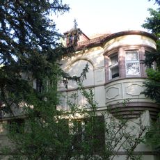
Erlenstegenstraße 54
871 m
Steinplattenweg 24
703 m
Hebelstraße 2
684 m
Hubertusstraße 10
508 m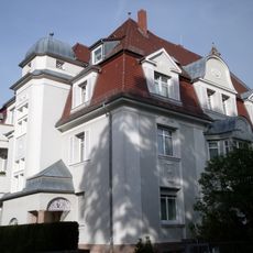
Mörikestraße 4
826 m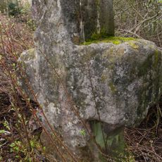
Steinkreuz Schoppershof
579 m
Erlenstegenstraße 16-16a
848 m
Spitalhof 3a-3b
74 m
Einfriedung Gneisenaustraße 15 in Nürnberg
928 m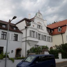
Hohenlohestraße 9-17
894 m
Hohenlohestraße 8
934 m
Schulgebäude Äußere Sulzbacher Straße 138 in Nürnberg
966 m
Erlenstegenstraße 53
816 mRecensioni
Ha visitato questo luogo? Tocchi le stelle per valutarlo e condividere la Sua esperienza o foto con la community! Provalo ora! Puoi annullarlo in qualsiasi momento.
Scopri tesori nascosti ad ogni viaggio!
Da piccoli caffè caratteristici a panorami nascosti, fuggi dalla folla e scova i posti che fanno davvero per te. La nostra app ti semplifica tutto: ricerca vocale, filtri furbi, percorsi ottimizzati e dritte autentiche da viaggiatori di tutto il mondo. Scaricala subito per vivere l'avventura sul tuo smartphone!

Un nuovo approccio alla scoperta turistica❞
— Le Figaro
Tutti i luoghi che meritano di essere esplorati❞
— France Info
Un’escursione su misura in pochi clic❞
— 20 Minutes