
Marker stones Hainbergweg, marker stones in Oybin
Posizione: Oybin
Inizio: 1850
Indirizzo: Hainbergweg Straße zwischen Oybin und dem alten Ortsteil Hain, Alte Hainstraße Oybin
Coordinate GPS: 50.83530,14.72917
Ultimo aggiornamento: 3 marzo 2025 alle 15:37

Eschengrundweg 4
244 m
Bergweg 16
335 m
Hainstraße 8
437 m
Jonsdorfer Straße 14
528 m
Hubertusweg 8
476 m
Jonsdorfer Straße 17
491 m
Bergweg 8
478 m
Grenzstraße 1
548 m
Jonsdorfer Straße 12
525 m
Jonsdorfer Straße 11
464 m
Jonsdorfer Straße 5
387 m
Jonsdorfer Straße 4
358 m
Jonsdorfer Straße 3
321 m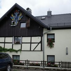
Eschengrundweg 1
267 m
Bergweg 6
505 m
Hubertusweg 10
325 m
Hubertusweg 4
539 m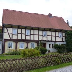
Hubertusweg 3
473 m
Hubertusweg 1
535 m
Jonsdorfer Straße 6
434 m
Jonsdorfer Straße 9
417 m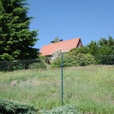
Hainstraße 12
399 m
Bergweg 14
405 m
Dachslochweg 2
479 m
Eschengrundweg 2
243 m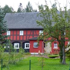
Liststraße 15
498 m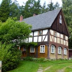
Quellweg 4
542 m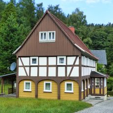
Quellweg 6
520 mRecensioni
Ha visitato questo luogo? Tocchi le stelle per valutarlo e condividere la Sua esperienza o foto con la community! Provalo ora! Puoi annullarlo in qualsiasi momento.
Scopri tesori nascosti ad ogni viaggio!
Da piccoli caffè caratteristici a panorami nascosti, fuggi dalla folla e scova i posti che fanno davvero per te. La nostra app ti semplifica tutto: ricerca vocale, filtri furbi, percorsi ottimizzati e dritte autentiche da viaggiatori di tutto il mondo. Scaricala subito per vivere l'avventura sul tuo smartphone!

Un nuovo approccio alla scoperta turistica❞
— Le Figaro
Tutti i luoghi che meritano di essere esplorati❞
— France Info
Un’escursione su misura in pochi clic❞
— 20 Minutes