
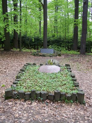
Grab Cottas mit Gedenktafel - -, Errichtet zum 80. Geburtstag am 30. Oktober 1843 von Heinrich Cotta (1763–1844), geschichtlich von Bedeutung
Posizione: Tharandt
Inizio: 1843
Indirizzo: - -
Coordinate GPS: 50.97847,13.57599
Ultimo aggiornamento: 10 marzo 2025 alle 02:37
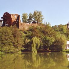
Burg Tharandt
517 m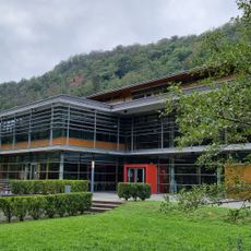
Branch library of forestry Tharandt
449 m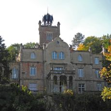
Schloss Tharandt
630 m
Stöckhardt Villa
557 m
Pienner Straße 36
318 m
Villa Pienner Straße 50
526 m
Villa Tannengrün Pienner Straße 56a
590 m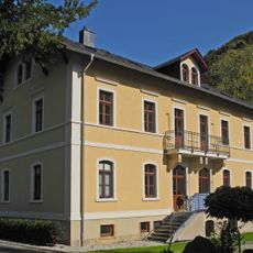
Villa mit Nebengebäude Pienner Straße 25
382 m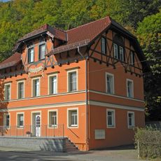
Villa Peace
397 m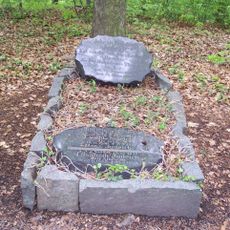
Grave of Johann Friedrich Judeich
80 m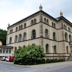
Alte Forstakademie, Tharandt
628 m
Villa Pienner Straße 52
547 m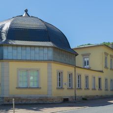
Kuppelhalle Tharandt
473 m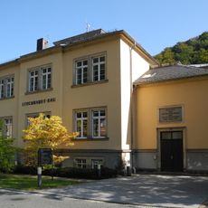
Stöckhardt Building
357 m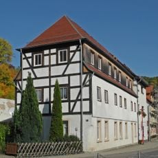
House 16 Pienner Street
542 m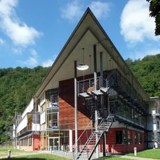
Judeich Building
391 m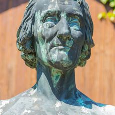
Cottadenkmal
521 m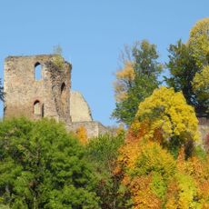
Burgruine Tharandt, inkl. Stützmauern Kirchweg -
612 m
House 10 Pienner Street
592 m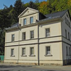
Pienner Straße 28
357 m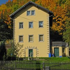
Wohnhaus Am Mühlgraben 8
619 m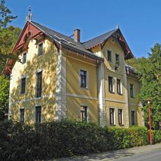
Ehemaliges Forsthaus Pienner Straße 40
371 m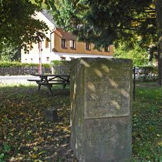
Opferstein Pienner Straße 42a (gegenüber)
429 m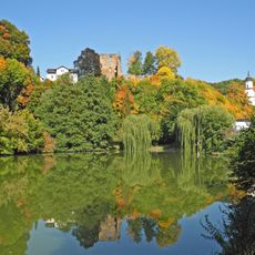
Schlossteich Pienner Straße
581 m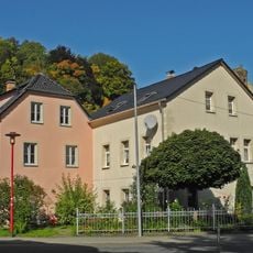
Zwei Wohnhäuser Pienner Straße 18; 18a
515 m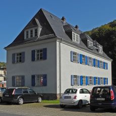
Mietshaus Pienner Straße 21
372 m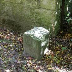
Forstgrenzstein Heinrich-Cotta-Straße 19 (hinter)
542 m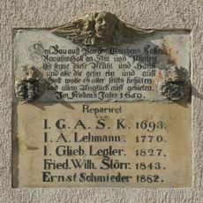
Inschrifttafel der ehemaligen Schlossmühle Am Mühlgraben 10
566 mRecensioni
Ha visitato questo luogo? Tocchi le stelle per valutarlo e condividere la Sua esperienza o foto con la community! Provalo ora! Puoi annullarlo in qualsiasi momento.
Scopri tesori nascosti ad ogni viaggio!
Da piccoli caffè caratteristici a panorami nascosti, fuggi dalla folla e scova i posti che fanno davvero per te. La nostra app ti semplifica tutto: ricerca vocale, filtri furbi, percorsi ottimizzati e dritte autentiche da viaggiatori di tutto il mondo. Scaricala subito per vivere l'avventura sul tuo smartphone!

Un nuovo approccio alla scoperta turistica❞
— Le Figaro
Tutti i luoghi che meritano di essere esplorati❞
— France Info
Un’escursione su misura in pochi clic❞
— 20 Minutes