
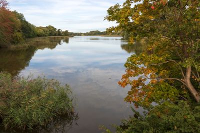
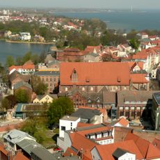
Stadtteiche und Grünanlagen von Stralsund, protected landscape in Mecklenburg-Vorpommern, Germany
Posizione: Stralsund
Inizio: 1940
Coordinate GPS: 54.31520,13.07500
Ultimo aggiornamento: 2 aprile 2025 alle 12:43
German Maritime Museum
834 m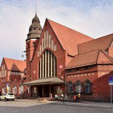
Stazione di Stralsund Centrale
748 m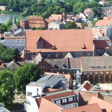
St Katharinen in Stralsund
868 m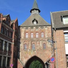
Kütertor
735 m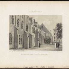
Gymnasium Stralsund
868 m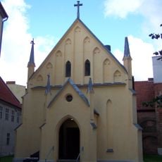
Chapelle Saintes-Anne-et-Brigitte de Stralsund
241 m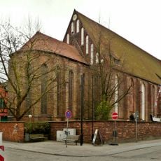
Katharinenkirche
847 m
Mönchstraße 13
860 m
Kampischer Hof
764 m
Schillstraße 39 (Stralsund)
856 m
Knieperwall 1 (Stralsund)
779 m
Am Kütertor 1 (Stralsund)
716 m
Tribseer Straße 26
875 m
Katharinenberg 34/35
795 m
Am Kütertor 4
735 m
Tribseer Straße 25
876 m
Bielkenhagen 8
787 m
Schillstraße 6
866 m
Tribseer Straße 24 a
881 m
Tribseer Straße 30
866 m
Heilgeiststraße 2/3 (Stralsund)
749 m
Tribseer Straße 7
889 m
Tribseer Straße 24
887 m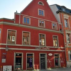
Heilgeiststraße 9
878 m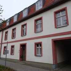
Knieperwall 1 a
734 m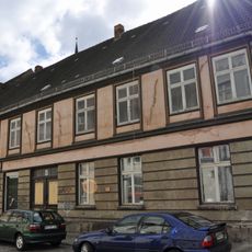
Tribseer Straße 8
889 m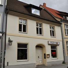
Tribseer Straße 28
874 m
Tribseer Straße 27
873 mHa visitato questo luogo? Tocchi le stelle per valutarlo e condividere la Sua esperienza o foto con la community! Provalo ora! Puoi annullarlo in qualsiasi momento.
Scopri tesori nascosti ad ogni viaggio!
Da piccoli caffè caratteristici a panorami nascosti, fuggi dalla folla e scova i posti che fanno davvero per te. La nostra app ti semplifica tutto: ricerca vocale, filtri furbi, percorsi ottimizzati e dritte autentiche da viaggiatori di tutto il mondo. Scaricala subito per vivere l'avventura sul tuo smartphone!

Un nuovo approccio alla scoperta turistica❞
— Le Figaro
Tutti i luoghi che meritano di essere esplorati❞
— France Info
Un’escursione su misura in pochi clic❞
— 20 Minutes