
LSG-Gebiet an der Ahsener Allee, bestehend aus 3 voneinander getrennten Teilen oestlich, suedlichen und westlich des NSG "Gernebach"
LSG-Gebiet an der Ahsener Allee, bestehend aus 3 voneinander getrennten Teilen oestlich, suedlichen und westlich des NSG "Gernebach", protected area in Germany
Posizione: Datteln
Inizio: 1990
Coordinate GPS: 51.68755,7.25539
Ultimo aggiornamento: 6 marzo 2025 alle 04:50
Haard
5.7 km
Stim-Berg
2.4 km
Westruper Heide
5.7 km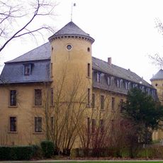
Schloss Horneburg
6.8 km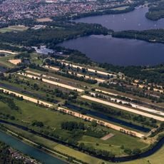
Haltern waterworks
6.4 km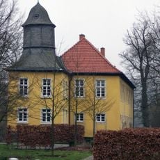
Haus Vogelsang
5 km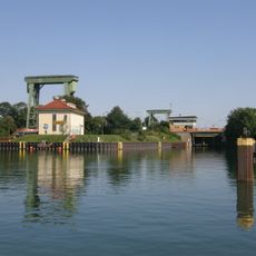
Schleuse Flaesheim
3.6 km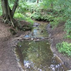
Die Burg
6.5 km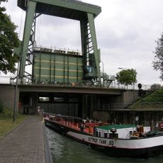
Schleuse Ahsen
4.6 km
Waldhaus
5.1 km
St. Josef (Oer-Erkenschwick)
5.7 km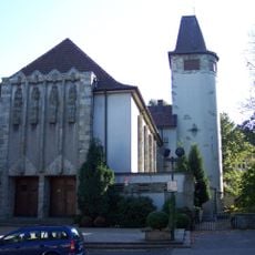
Christus-König-Kirche
4.3 km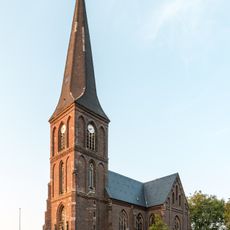
St. Andreas (Hullern)
5.9 km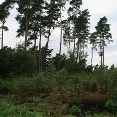
Kibitz-Berg
4.9 km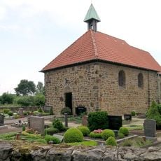
St. Katharina
6.5 km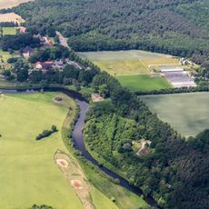
Lippeaue
6.2 km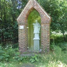
Heiliger Johannes Nepomuk
2.8 km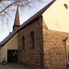
St. Mariä Heimsuchung
4 km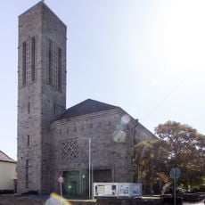
Lutherkirche
7.1 km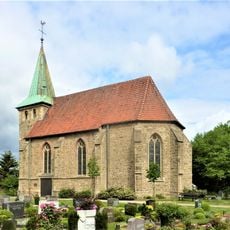
Holy Cross Church
7.1 km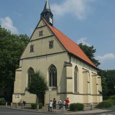
Schlosskapelle Horneburg
6.9 km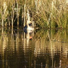
Brinksknapp
4 km
Seebucht Hohe Niemen
6.7 km
Schwarzer Berg
3.6 km
Schwarzer Berg
3.5 km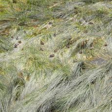
Landschaftsschutzgebiet Stausee Haltern
6.3 km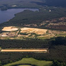
Westruper Heide
5.4 km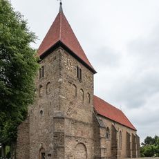
Stiftskirche St. Maria-Magdalena
3.9 kmRecensioni
Ha visitato questo luogo? Tocchi le stelle per valutarlo e condividere la Sua esperienza o foto con la community! Provalo ora! Puoi annullarlo in qualsiasi momento.
Scopri tesori nascosti ad ogni viaggio!
Da piccoli caffè caratteristici a panorami nascosti, fuggi dalla folla e scova i posti che fanno davvero per te. La nostra app ti semplifica tutto: ricerca vocale, filtri furbi, percorsi ottimizzati e dritte autentiche da viaggiatori di tutto il mondo. Scaricala subito per vivere l'avventura sul tuo smartphone!

Un nuovo approccio alla scoperta turistica❞
— Le Figaro
Tutti i luoghi che meritano di essere esplorati❞
— France Info
Un’escursione su misura in pochi clic❞
— 20 Minutes