
Cultural heritage D-3-6843-0018 in Bad Kötzting
Cultural heritage D-3-6843-0018 in Bad Kötzting, cultural heritage monument in Bad Kötzting, Cham, Upper Palatinate, Bavaria, Germany
Posizione: Bad Kötzting
Coordinate GPS: 49.17728,12.85472
Ultimo aggiornamento: 25 settembre 2025 alle 23:19
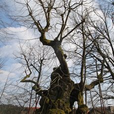
Wolframslinde
3.6 km
Konzerthaus Blaibach
3.6 km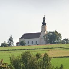
Wallfahrtskirche Mariä Himmelfahrt
1.6 km
Kreuzfelsen
5 km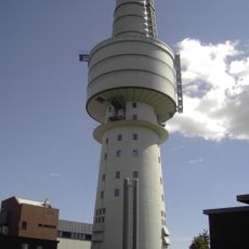
Hohenbogen-Kaserne
61 m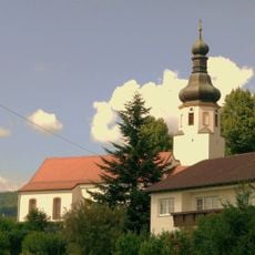
St. Nikolaus
6.3 km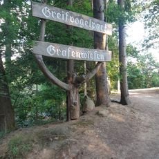
Greifvogelpark Grafenwiesen
1.9 km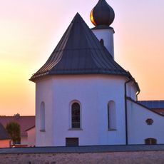
Vierzehn Nothelfer
3.5 km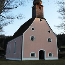
St. Anna
4.1 km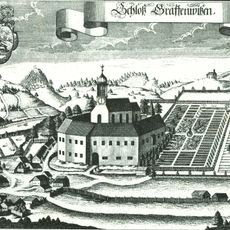
Schloss Grafenwiesen
3.2 km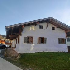
Waldlerhaus
3.7 km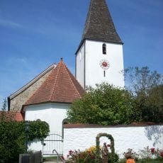
St. Laurentius
4.3 km
Wallfahrtskirche Sankt Ulrich
5.5 km
Schloss Hohenwarth
6.5 km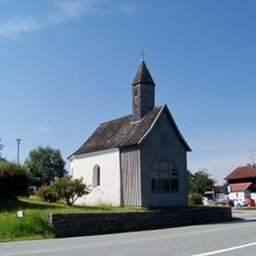
Mariahilfkapelle
6.2 km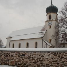
Kuratiekirche Hl. Dreifaltigkeit
3.4 km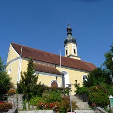
Sankt Elisabeth (Blaibach)
3.6 km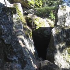
Räuber-Heigl-Höhle von Reitenberg
4.8 km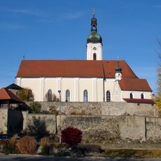
Kirchenburg
416 m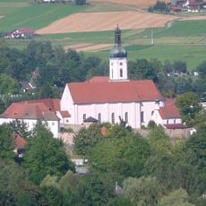
Sogenannte Kirchenburg, ehemaliges Pflegschloss, jetzt Pfarrhof
382 m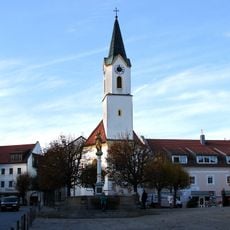
Katholische Kirche St. Veit, sogenannte Marktkirche
5 m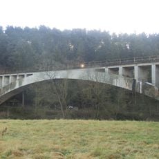
Eisenbahnbrücke über den Regen
3.4 km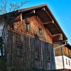
Wohnstallhaus
4.6 km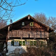
Waldlerhaus, Wohnstallhaus
4.6 km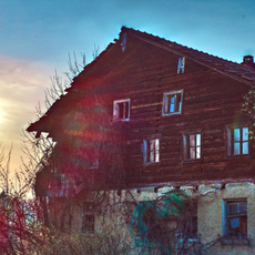
Bauernhaus, Wohnstallhaus
4.6 km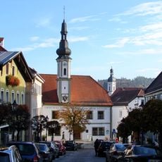
Altes Rathaus
220 m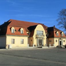
Turnhalle
551 m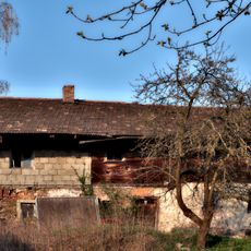
Wohnstallhaus
4.6 kmRecensioni
Ha visitato questo luogo? Tocchi le stelle per valutarlo e condividere la Sua esperienza o foto con la community! Provalo ora! Puoi annullarlo in qualsiasi momento.
Scopri tesori nascosti ad ogni viaggio!
Da piccoli caffè caratteristici a panorami nascosti, fuggi dalla folla e scova i posti che fanno davvero per te. La nostra app ti semplifica tutto: ricerca vocale, filtri furbi, percorsi ottimizzati e dritte autentiche da viaggiatori di tutto il mondo. Scaricala subito per vivere l'avventura sul tuo smartphone!

Un nuovo approccio alla scoperta turistica❞
— Le Figaro
Tutti i luoghi che meritano di essere esplorati❞
— France Info
Un’escursione su misura in pochi clic❞
— 20 Minutes