
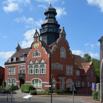
Kellinghusen town hall, building in Kellinghusen, Germany
Posizione: Kellinghusen
Inizio: 1908
Indirizzo: Am Markt 9
Coordinate GPS: 53.94925,9.71815
Ultimo aggiornamento: 2 aprile 2025 alle 01:02
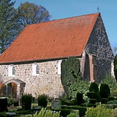
Kirche Stellau
2.3 km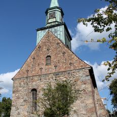
St. Cyriacus
49 m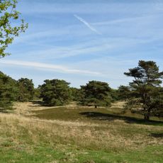
Heideflächen bei Kellinghusen
3.1 km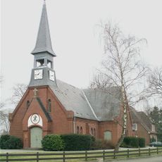
Christuskirche (Hennstedt)
9.1 km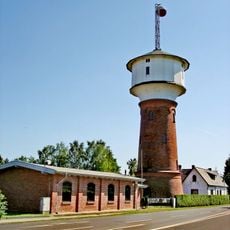
Wasserturm Hohenlockstedt
6.4 km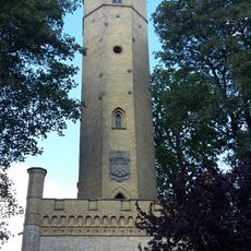
Luisenberg Tower
904 m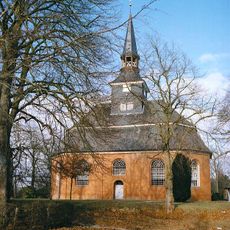
Dorfkirche Breitenberg, Schleswig-Holstein
6.1 km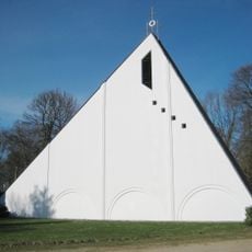
Dreifaltigkeitskirche (Hohenlockstedt)
6.8 km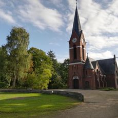
Evangelische Kirche Brokstedt
7.9 km
Winselmoor/Hörnerau-Niederung
8.4 km
Rantzau-Tal
9.3 km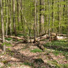
Landschaftsbestandteile und Landschaftsteile im Bereich mehrerer Gemeinden (2)
10.2 km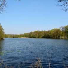
Lohmühlenteich
8.1 km
Kirchhof
2.4 km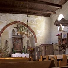
Kirche Stellau mit Ausstattung
2.3 km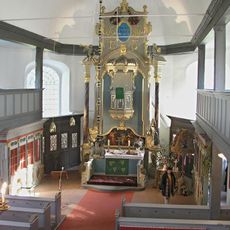
Kirche mit Ausstattung
6.1 km
Kirche mit Ausstattung
7.9 km
Heiden und Dünen bei Störkathen
3 km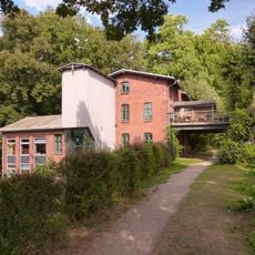
Weddelbrooker Wassermühle
8.8 km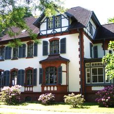
Rathaus (ehemaliges Kommandantenwohnhaus)
6.8 km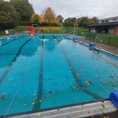
Freibad Quarnstedt
4.8 km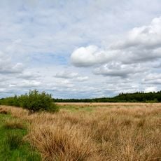
Moore der Breitenburger Niederung
7 km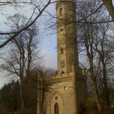
Luisenberger Turm
904 m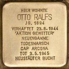
Stolperstein dedicated to Otto Ralfs
425 m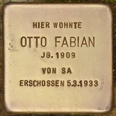
Stolperstein dedicated to Otto Fabian
1.2 km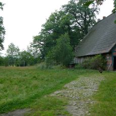
Hof Gripp: Scheune
9.1 km
Remise
6.8 km
Landschaftsteil "Waldfläche Wulfshorst"
4.3 kmRecensioni
Ha visitato questo luogo? Tocchi le stelle per valutarlo e condividere la Sua esperienza o foto con la community! Provalo ora! Puoi annullarlo in qualsiasi momento.
Scopri tesori nascosti ad ogni viaggio!
Da piccoli caffè caratteristici a panorami nascosti, fuggi dalla folla e scova i posti che fanno davvero per te. La nostra app ti semplifica tutto: ricerca vocale, filtri furbi, percorsi ottimizzati e dritte autentiche da viaggiatori di tutto il mondo. Scaricala subito per vivere l'avventura sul tuo smartphone!

Un nuovo approccio alla scoperta turistica❞
— Le Figaro
Tutti i luoghi che meritano di essere esplorati❞
— France Info
Un’escursione su misura in pochi clic❞
— 20 Minutes