
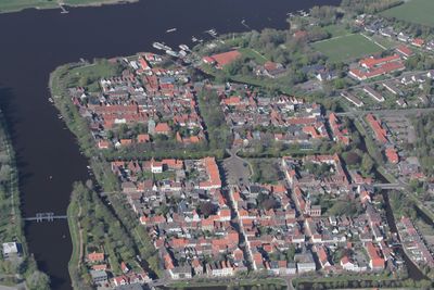
Historischer Stadtkern Friedrichstadt
Historischer Stadtkern Friedrichstadt, Der Denkmalbereich umfasst die als holländische Flüchtlingsgründung auf inselartiger Fläche im Unterlauf der Eider entstandene Planstadt des 17. Jahrhunderts. Er wird im Wesentlichen wie folgt begrenzt: 1. im Norden durch die Treene, 2. im Osten
Posizione: Friedrichstadt
Indirizzo: Historischer Stadtkern Friedrichstadt
Coordinate GPS: 54.37756,9.08837
Ultimo aggiornamento: 8 marzo 2025 alle 17:46
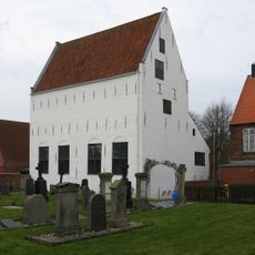
Mennonitenkirche Friedrichstadt
134 m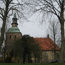
Sankt-Christophorus-Kirche, Friedrichstadt
44 m
Neberhaus
100 m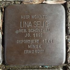
Stolperstein dedicated to Lina Selig
174 m
Wohnhaus
61 m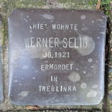
Stolperstein dedicated to Werner Selig
174 m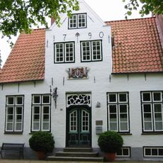
Wohnhaus
115 m
Wohnhaus
125 m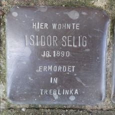
Stolperstein dedicated to Isidor Selig
174 m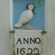
Relieftafel (Vogel m. Zweig)
167 m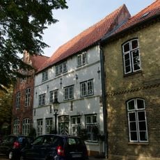
Wohnhaus
60 m
Wohnhaus mit Haustür
117 m
Wohnhaus
139 m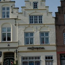
Wohnhaus
130 m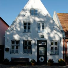
Wohnhaus
85 m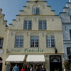
Wohn- und Geschäftshaus
157 m
Wohnhaus
102 m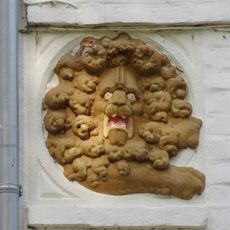
Relieftafel (zwei Löwenköpfe)
137 m
Wohnhaus
126 m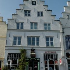
Ehem. Apotheke
152 m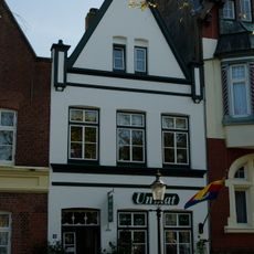
Wohnhaus
169 m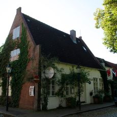
Wohnhaus
83 m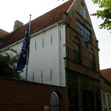
Sog. Alte Münze
128 m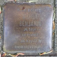
Stolperstein dedicated to Wilhelm Benjamin
134 m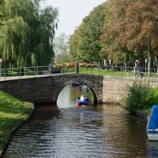
Steinbrücke
111 m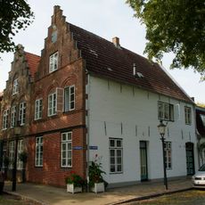
Wohnhaus
63 m
Wohnhaus
42 m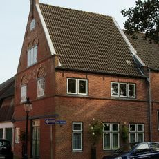
Wohnhaus
66 mRecensioni
Ha visitato questo luogo? Tocchi le stelle per valutarlo e condividere la Sua esperienza o foto con la community! Provalo ora! Puoi annullarlo in qualsiasi momento.
Scopri tesori nascosti ad ogni viaggio!
Da piccoli caffè caratteristici a panorami nascosti, fuggi dalla folla e scova i posti che fanno davvero per te. La nostra app ti semplifica tutto: ricerca vocale, filtri furbi, percorsi ottimizzati e dritte autentiche da viaggiatori di tutto il mondo. Scaricala subito per vivere l'avventura sul tuo smartphone!

Un nuovo approccio alla scoperta turistica❞
— Le Figaro
Tutti i luoghi che meritano di essere esplorati❞
— France Info
Un’escursione su misura in pochi clic❞
— 20 Minutes