
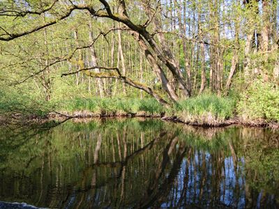
Untere Schwentine, protected area in the European Union defined by the habitats directive in Schleswig-Holstein, Germany
Posizione: Plön District
Inizio: 2006
Coordinate GPS: 54.28174,10.24299
Ultimo aggiornamento: 5 marzo 2025 alle 07:17
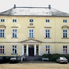
Gut Rastorf
3.3 km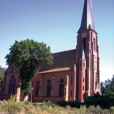
Maria-Magdalenen-Church
4.5 km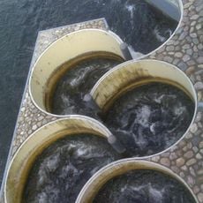
Meander fish passes
807 m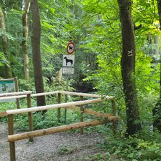
Altarm der Schwentine
1.8 km
Klosterforst Preetz
3.3 km
Großsteingrab Dobersdorf 3
4.3 km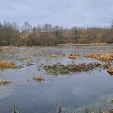
Moorweiher bei Rastorf
3.5 km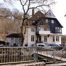
Howaldt’sche Villa
1.1 km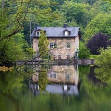
Dobersdorfer See, Passader See mit dem Oberlauf der Hagener Au, Kasseteiche und Umgebung
1.2 km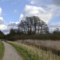
Langsee, Kuckucksberg und Umgebung
4 km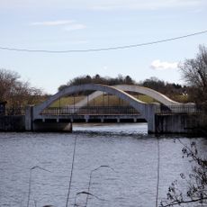
Weiße Brücke
1.3 km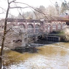
Hydroelectric power station Schwentine II
770 m
Ehem. Försterei
2.8 km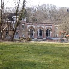
Hydropower plant Schwentine I
1.3 km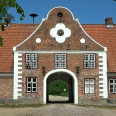
Gut Rastorf: Torhaus
3.2 km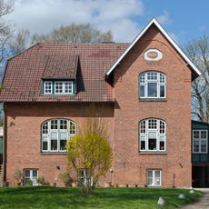
Kloster Preetz: Wohnhaus
5.1 km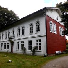
Kloster Preetz: Wohnhaus
5.2 km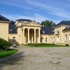
Schloß Bredeneek
4.2 km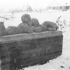
Lying children
3.2 km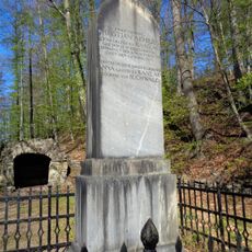
Gedenkstein auf Gut Rastorf
2.7 km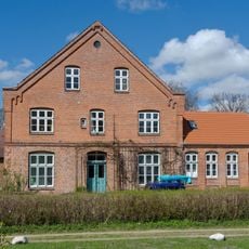
Kloster Preetz: Wohnhaus mit Hausgrundstück
5.2 km
Ehem. Krug „Blauer Löwe“
2.7 km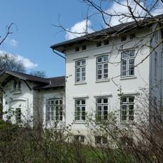
Kloster Preetz: Wohnhaus
5.2 km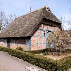
Bahnhofstraße 1
212 m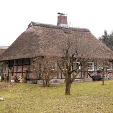
Arbeiterwohnhaus Lange Reihe 10
2.9 km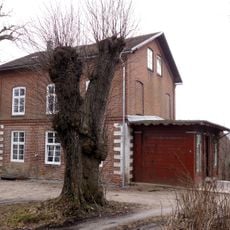
Inspektorenwohnhaus
3.1 km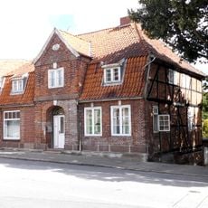
Wohnhaus Klosterstraße 18
5.2 km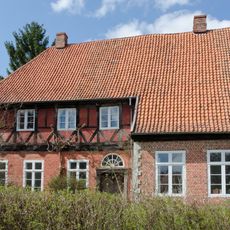
Kloster Preetz: Wohnhaus mit Hausgrundstück
5.2 kmRecensioni
Ha visitato questo luogo? Tocchi le stelle per valutarlo e condividere la Sua esperienza o foto con la community! Provalo ora! Puoi annullarlo in qualsiasi momento.
Scopri tesori nascosti ad ogni viaggio!
Da piccoli caffè caratteristici a panorami nascosti, fuggi dalla folla e scova i posti che fanno davvero per te. La nostra app ti semplifica tutto: ricerca vocale, filtri furbi, percorsi ottimizzati e dritte autentiche da viaggiatori di tutto il mondo. Scaricala subito per vivere l'avventura sul tuo smartphone!

Un nuovo approccio alla scoperta turistica❞
— Le Figaro
Tutti i luoghi che meritano di essere esplorati❞
— France Info
Un’escursione su misura in pochi clic❞
— 20 Minutes