
Jägersteig, hiking trail in Germany
Posizione: Pottenstein
Coordinate GPS: 49.74335,11.42740
Ultimo aggiornamento: 1 maggio 2025 alle 17:14

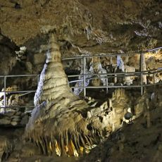
Teufelshöhle bei Pottenstein
1.3 km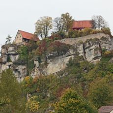
Pottenstein Castle
3 km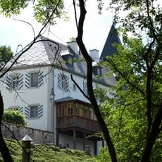
Schloss
812 m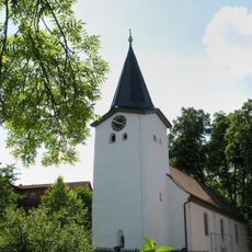
Saalkirche
816 m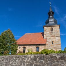
Evangelisch-lutherische Pfarrkirche
3.3 km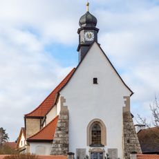
St. Johannes der Täufer
1.9 km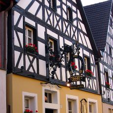
Cultural heritage D-4-72-179-37 in Pottenstein (Oberfranken)
3.3 km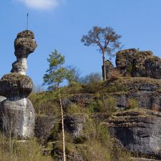
Weiherstaler Männchen bei Schüttersmühle
894 m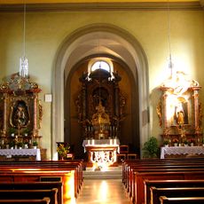
Chorturmkirche
1.4 km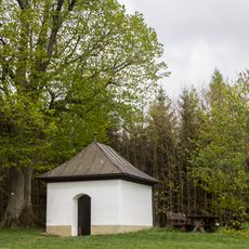
Feldkapelle
2.1 km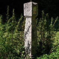
Bildstock im Klumpertal
1.7 km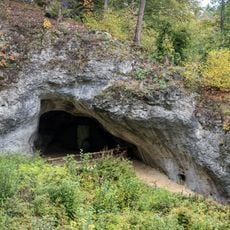
Bodendenkmal in Pottenstein (Oberfranken), #D-4-6234-0096
1.4 km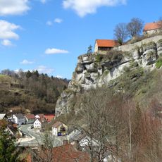
Bergfried
3.3 km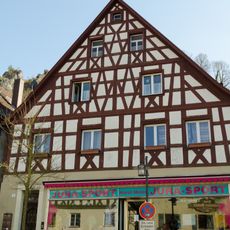
Cultural heritage D-4-72-179-26 in Pottenstein (Oberfranken)
3.3 km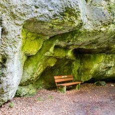
Cultural heritage D-4-6234-0075 in Pottenstein (Oberfranken)
557 m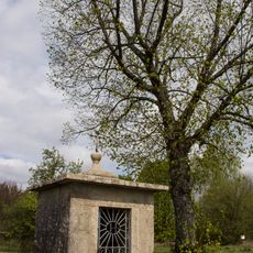
Feldkapelle
2.6 km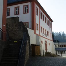
Pfarrhaus
3.3 km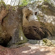
Großes Hasenloch (D92) ESE von Pottenstein
2.6 km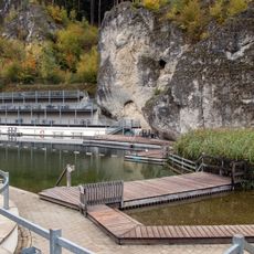
Freibad
2.3 km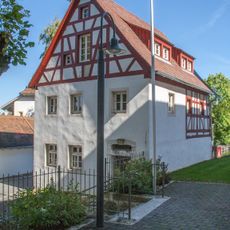
Wohnhaus
803 m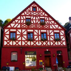
Cultural heritage D-4-72-179-28 in Pottenstein (Oberfranken)
3.3 km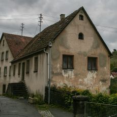
Schmiede
3.3 km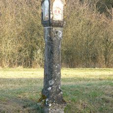
Bildstock
2.3 km
Kleine Teufelshöhle
1.5 km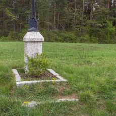
Feldkreuz
1.9 km
Cultural heritage D-4-72-179-38 in Pottenstein (Oberfranken)
3.3 km
Cultural heritage D-4-72-179-36 in Pottenstein (Oberfranken)
3.3 km
Pfarrhaus
3.3 kmRecensioni
Ha visitato questo luogo? Tocchi le stelle per valutarlo e condividere la Sua esperienza o foto con la community! Provalo ora! Puoi annullarlo in qualsiasi momento.
Scopri tesori nascosti ad ogni viaggio!
Da piccoli caffè caratteristici a panorami nascosti, fuggi dalla folla e scova i posti che fanno davvero per te. La nostra app ti semplifica tutto: ricerca vocale, filtri furbi, percorsi ottimizzati e dritte autentiche da viaggiatori di tutto il mondo. Scaricala subito per vivere l'avventura sul tuo smartphone!

Un nuovo approccio alla scoperta turistica❞
— Le Figaro
Tutti i luoghi che meritano di essere esplorati❞
— France Info
Un’escursione su misura in pochi clic❞
— 20 Minutes