
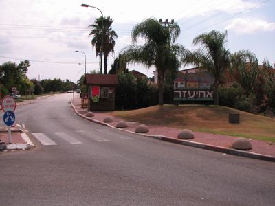
Ahi'ezer, human settlement in Israel
Posizione: Sdot Dan Regional Council
Inizio: 1950
Altezza sopra il mare: 38 m
Confina con: Kfar Chabad
Coordinate GPS: 31.98000,34.87220
Ultimo aggiornamento: 4 marzo 2025 alle 15:40
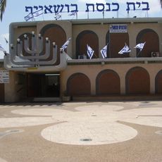
Bushaif Synagogue
2 km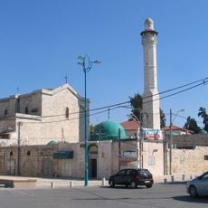
Church of Saint George
4 km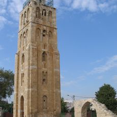
Moschea Bianca
5.9 km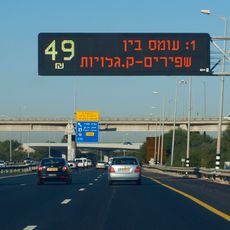
Express Line Highway 1
4.1 km
Pool of the Arches
5.4 km
Hadid
6 km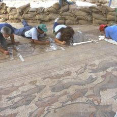
Lod Mosaic
4 km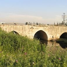
Jisr Jindas
3 km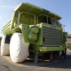
Israel trucks museum
5.8 km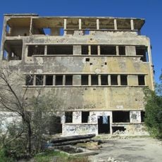
Mandate period building in Beer Yaakov
4.6 km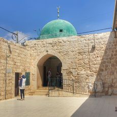
Great Omari Mosque of Lod
4 km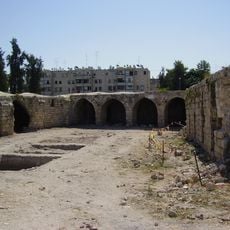
Old khan of Lod
3.9 km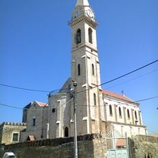
St. Nicodemus and Joseph of Arimathea Church
5.9 km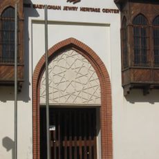
The babylonian jewry heritage center
5.4 km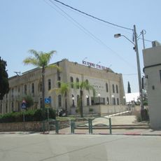
Beit Menachem synagogue, kfar chabad
2.4 km
Mahane Yisrael
4.5 km
The Charedi Campus - The Academic College Ono
4.7 km
הטגארט ברמלה בתוך כלא איילון
5.1 km
Ben-Gurion International Airport Garden
2.2 km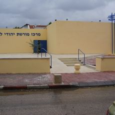
Lybian Jewish Heritage Museum
6.1 km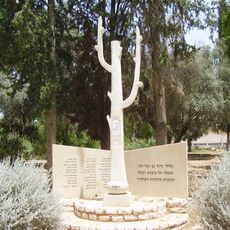
Monument to the Fallen of the 42nd Kiryati Battalion at the War of Independence, Ramle
5.3 km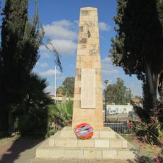
42th battalion memorials in Tzrifin
4 km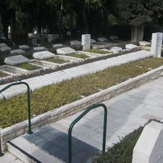
Rishon leZion Military Cemetery
5.3 km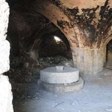
מסבנת אל–פאר
3.9 km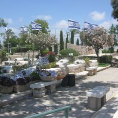
Lod Military Cemetery
4.5 km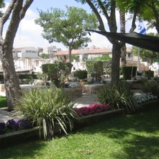
Ramleh Military Cemetery
5.8 km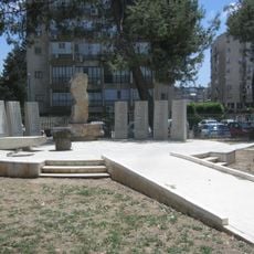
Monument to the Fallen People of Lod and the Dead at the Battle of Lod, 1948
3.5 km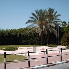
Nachshon Wachsman and Nir Poraz memorial
5.7 kmRecensioni
Ha visitato questo luogo? Tocchi le stelle per valutarlo e condividere la Sua esperienza o foto con la community! Provalo ora! Puoi annullarlo in qualsiasi momento.
Scopri tesori nascosti ad ogni viaggio!
Da piccoli caffè caratteristici a panorami nascosti, fuggi dalla folla e scova i posti che fanno davvero per te. La nostra app ti semplifica tutto: ricerca vocale, filtri furbi, percorsi ottimizzati e dritte autentiche da viaggiatori di tutto il mondo. Scaricala subito per vivere l'avventura sul tuo smartphone!

Un nuovo approccio alla scoperta turistica❞
— Le Figaro
Tutti i luoghi che meritano di essere esplorati❞
— France Info
Un’escursione su misura in pochi clic❞
— 20 Minutes