
Kena, village in Lithuania
Posizione: Vilnius District Municipality
Altezza sopra il mare: 160 m
Coordinate GPS: 54.64722,25.61944
Ultimo aggiornamento: 4 marzo 2025 alle 02:10
Aukštojas
13.4 km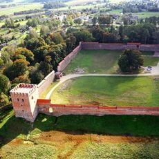
Medininkai Castle
12.1 km
Church of St. Casimir, Naujoji Vilnia
14.6 km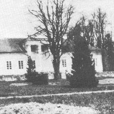
Šumskas Manor
8.8 km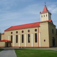
Church of the Blessed Virgin Mary, Queen of Peace, Naujoji Vilnia
14 km
Church of St. Michael the Archangel, Šumskas
8 km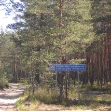
Taurija Ornitological Reserve
12.9 km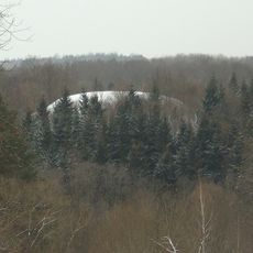
Rokantiškės hillfort
14.4 km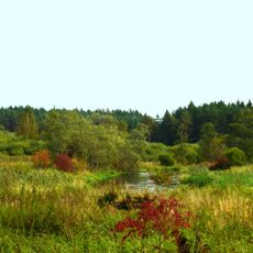
Vilnia Hydrographical Reserve
10.9 km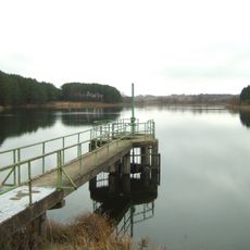
Kūlių tvenkinys
8.9 km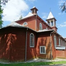
Church of the Holy Trinity and St. Casimir, Medininkai
12.2 km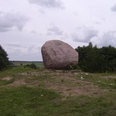
Juozapine Geomorphological Reserve
14.5 km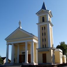
Church of the Assumption, Mickūnai
8.8 km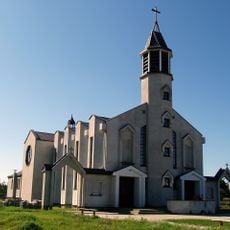
Divine Mercy Church in Kalveliai
4.5 km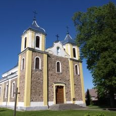
Church of St. Michael the Archangel, Rukainiai
8.2 km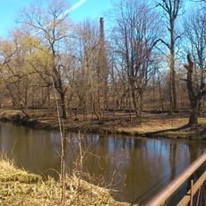
Naujoji Vilnia Park
13.6 km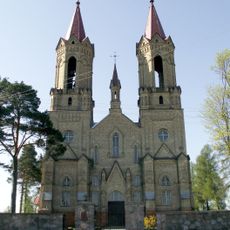
Church of St. John the Baptist, Lavoriškės
7 km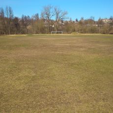
Naujoji Vilnia Old Stadium
13.6 km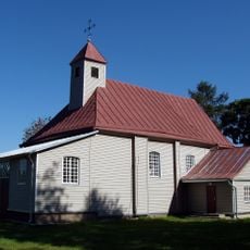
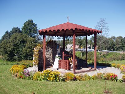
Church of Our Lady of the Gate of Dawn, Kena
235 m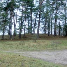
Lavoriškės hillfort
7 km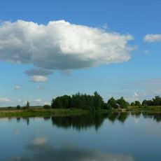
Kyviškių tvenkinys
7.7 km
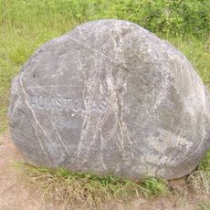
Mūrininkai Mound
7.8 km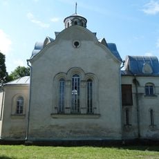
Chapel in Vėliučionys
11.2 km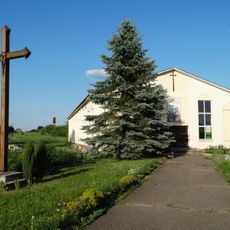
Chapel in Mostiškės
14.4 km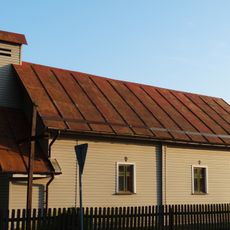
Old chapel, Mostiškės
14.1 km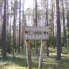
Mūrininkų pilkapiai
9.4 km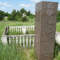
Paliepiukai geodetic marker
12.4 km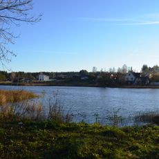
Mickūnų tvenkinys
8.8 kmRecensioni
Ha visitato questo luogo? Tocchi le stelle per valutarlo e condividere la Sua esperienza o foto con la community! Provalo ora! Puoi annullarlo in qualsiasi momento.
Scopri tesori nascosti ad ogni viaggio!
Da piccoli caffè caratteristici a panorami nascosti, fuggi dalla folla e scova i posti che fanno davvero per te. La nostra app ti semplifica tutto: ricerca vocale, filtri furbi, percorsi ottimizzati e dritte autentiche da viaggiatori di tutto il mondo. Scaricala subito per vivere l'avventura sul tuo smartphone!

Un nuovo approccio alla scoperta turistica❞
— Le Figaro
Tutti i luoghi che meritano di essere esplorati❞
— France Info
Un’escursione su misura in pochi clic❞
— 20 Minutes