
Bedum, former municipality in The Netherlands
Posizione: Groningen
Altezza sopra il mare: -1 m
Confina con: Groningen
Sito web: http://bedum.nl
Coordinate GPS: 53.30000,6.60000
Ultimo aggiornamento: 16 marzo 2025 alle 09:06
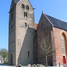
St. Walfriduskerk
264 m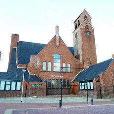
Goede Herderkerk
540 m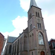
Maria ten Hemelopneming
368 m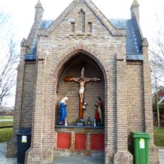
R.K. begraafplaats, rouwkapel
472 m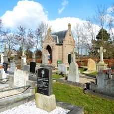
Maria ten Hemelopneming (Bedum)
458 m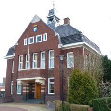
Oude gemeentehuis Bedum
94 m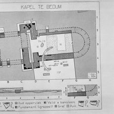
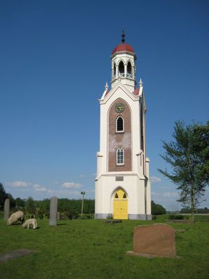
Terrein met overblijfselen van een aan Walfridus gewijde kapel
162 m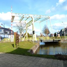
Gele Klap
237 m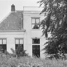
Boterdiep O.Z. 1
197 m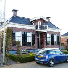
Boterdiep W.Z. 35
617 m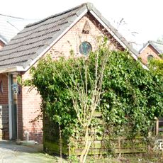
Walfriduslaan 18-20, Bedum
255 m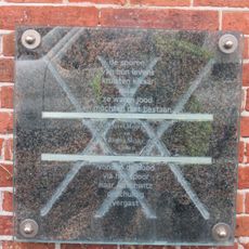
Jozef en Regina
320 m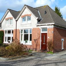
Dubbele arbeiderswoning met twee topgevels
289 m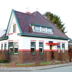
Grotestraat 62, Bedum
391 m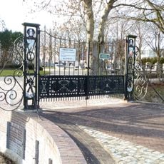
Algemene begraafplaats, toegangshek
416 m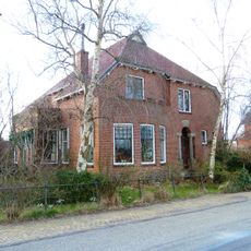
Rentenierswoning
681 m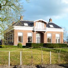
Hervormde pastorie
340 m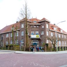
School met den Bijbel (Bedum)
134 m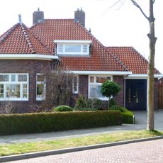
Middenstandswoning met aangebouwde schuur
383 m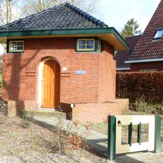
Pompgebouw in Amsterdamse Schoolstijl
426 m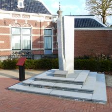
Oorlogsmonument
114 m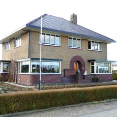
Voorm. notariswoning met aangebouwd achterhuis en garage
564 m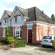
Dubbele arbeiderswoning met twee topgevels
255 m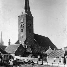
Tower of St. Walfriduskerk
264 m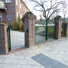
School met den Bijbel, toegangshek
134 m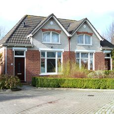
Dubbele arbeiderswoning met twee topgevels
289 m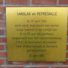
Razzia in Bedum
125 m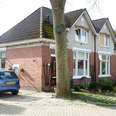
Dubbele arbeiderswoning met twee topgevels
265 mHa visitato questo luogo? Tocchi le stelle per valutarlo e condividere la Sua esperienza o foto con la community! Provalo ora! Puoi annullarlo in qualsiasi momento.
Scopri tesori nascosti ad ogni viaggio!
Da piccoli caffè caratteristici a panorami nascosti, fuggi dalla folla e scova i posti che fanno davvero per te. La nostra app ti semplifica tutto: ricerca vocale, filtri furbi, percorsi ottimizzati e dritte autentiche da viaggiatori di tutto il mondo. Scaricala subito per vivere l'avventura sul tuo smartphone!

Un nuovo approccio alla scoperta turistica❞
— Le Figaro
Tutti i luoghi che meritano di essere esplorati❞
— France Info
Un’escursione su misura in pochi clic❞
— 20 Minutes