
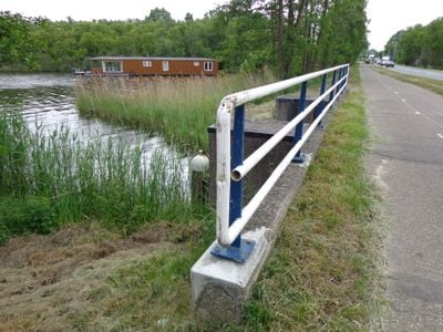
Kleizuwe te 's-Graveland, bridge in Wijdemeren, Netherlands
Posizione: Wijdemeren
Parte di: Fort Kijkuit
Indirizzo: Kleizuwe te 's-Graveland
Coordinate GPS: 52.23083,5.04409
Ultimo aggiornamento: 31 marzo 2025 alle 04:19
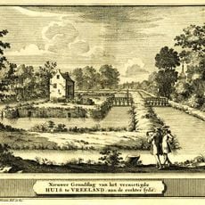
Vredelant
393 m
Nederlands Hervormde Kerk, Vreeland
703 m
Plantagehuis, Vreeland
330 m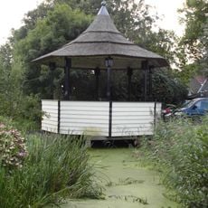
Muziektent
646 m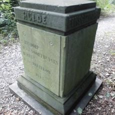
Plantagehuis: gedenkplaal aan het einde van de Breedelaan
494 m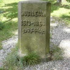
Plantagehuis: gedenkpaal
494 m
Ruiterstraat 4, Vreeland
724 m
Vossenlaan 22, Vreeland
592 m
Vrederust, Vreeland
721 m
Klapstraat 12, Vreeland
710 m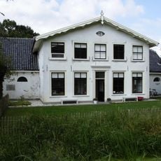
Kleizuwe 103, Vreeland
328 m
Klapstraat 8, Vreeland
730 m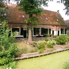
Lindengracht 5-19, Vreeland
682 m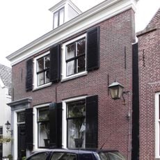
Voorstraat 18, Vreeland
728 m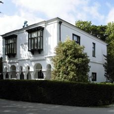
Plantagehuis
423 m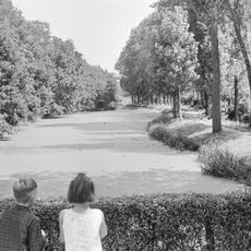
Plantagehuis: parkaanleg
480 m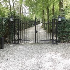
Plantagehuis: toegangshek
494 m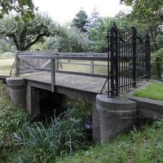
Plantagehuis: brug met toegangshek
423 m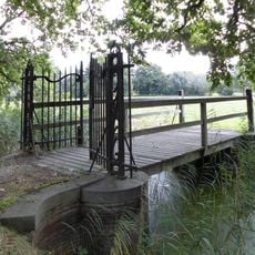
Plantagehuis: brug met toegangshek (sloot zuidzijde Kleizuwe)
313 m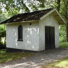
Plantagehuis: dienstgebouw
486 m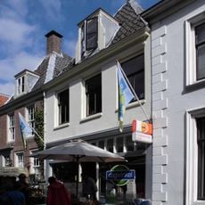
Voorstraat 15, Vreeland
725 m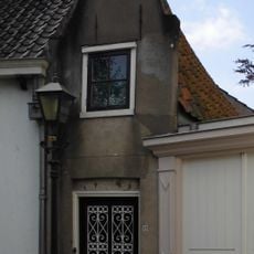
Klapstraat 23, Vreeland
730 m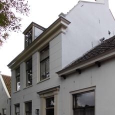
Klapstraat 17, Vreeland
731 m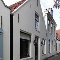
Klapstraat 15, Vreeland
729 m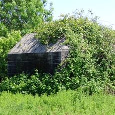
Fort Kijkuit concrete works
327 m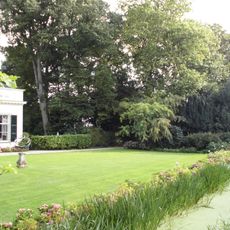
Slotzicht: historische tuin aanleg
708 m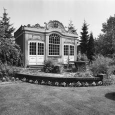
Slotzicht: tuinhuis
690 m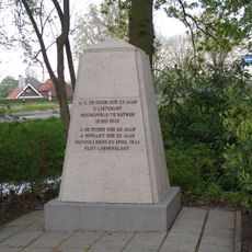
Oorlogsmonument
503 mRecensioni
Ha visitato questo luogo? Tocchi le stelle per valutarlo e condividere la Sua esperienza o foto con la community! Provalo ora! Puoi annullarlo in qualsiasi momento.
Scopri tesori nascosti ad ogni viaggio!
Da piccoli caffè caratteristici a panorami nascosti, fuggi dalla folla e scova i posti che fanno davvero per te. La nostra app ti semplifica tutto: ricerca vocale, filtri furbi, percorsi ottimizzati e dritte autentiche da viaggiatori di tutto il mondo. Scaricala subito per vivere l'avventura sul tuo smartphone!

Un nuovo approccio alla scoperta turistica❞
— Le Figaro
Tutti i luoghi che meritano di essere esplorati❞
— France Info
Un’escursione su misura in pochi clic❞
— 20 Minutes