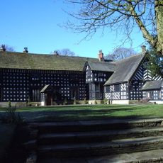
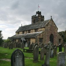
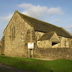
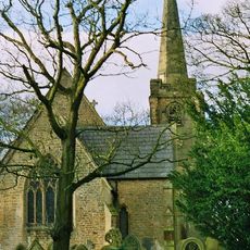
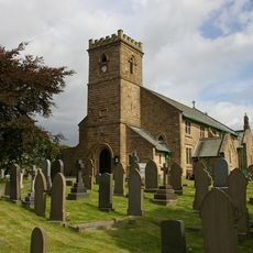
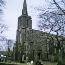
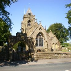
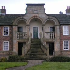
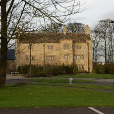
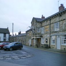
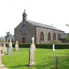
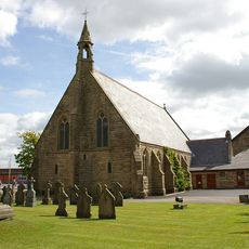
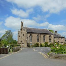
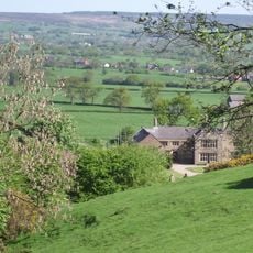
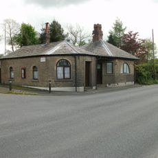
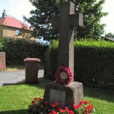
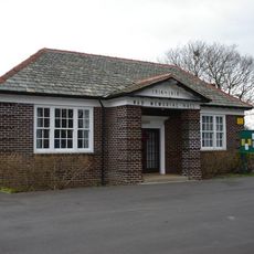
Balderstone, village and civil parish in the Ribble Valley district of Lancashire, England
Posizione: Ribble Valley
Coordinate GPS: 53.78826,-2.57427
Ultimo aggiornamento: 28 maggio 2025 alle 15:31
Samlesbury Hall
2.1 km
Bremetennacum
3.6 km
Alston Hall
1.9 km
St Wilfrid's Church, Ribchester
3.6 km
Church of St Leonard the Less, Samlesbury
4 km
St Saviour's Church, Stydd
4.6 km
St Leonard's Church, Balderstone
962 m
St Lawrence's Church, Longridge
4.5 km
St Mary's Church, Mellor
3.3 km
St Michael's Church, Grimsargh
4.2 km
Almshouses
4.5 km
Stanley House
3.5 km
White Bull Hotel And Former Stable Adjoining To The North
3.8 km
Church of St Peter and St Paul
4.4 km
Church of Our Lady
3.4 km
Church of St Mary With Presbytery
2.7 km
Roman Catholic Church of Saint John Southworth and Attached Presbytery
3.7 km
The Samuel Whitbread
4.4 km
Roman Baths Ribchester
3.8 km
Oxendale Hall
3 km
Osbaldeston Hall
2.8 km
Oaks Bar
4.9 km
War Memorial on South Side of Road Outside Number 270
4.1 km
Old Font Outside East Wall Of Church Of St Leonard The Less
3.9 km
Samlesbury Memorial Hall
3.4 km
Milestone, W of A677/B6230 jcn
3.2 km
Milestone, W of Samlesbury Hall
2.3 km
Milestone, Longsight Road at SD6669833285
4.5 kmRecensioni
Ha visitato questo luogo? Tocchi le stelle per valutarlo e condividere la Sua esperienza o foto con la community! Provalo ora! Puoi annullarlo in qualsiasi momento.
Scopri tesori nascosti ad ogni viaggio!
Da piccoli caffè caratteristici a panorami nascosti, fuggi dalla folla e scova i posti che fanno davvero per te. La nostra app ti semplifica tutto: ricerca vocale, filtri furbi, percorsi ottimizzati e dritte autentiche da viaggiatori di tutto il mondo. Scaricala subito per vivere l'avventura sul tuo smartphone!
Un nuovo approccio alla scoperta turistica❞
— Le Figaro
Tutti i luoghi che meritano di essere esplorati❞
— France Info
Un’escursione su misura in pochi clic❞
— 20 Minutes