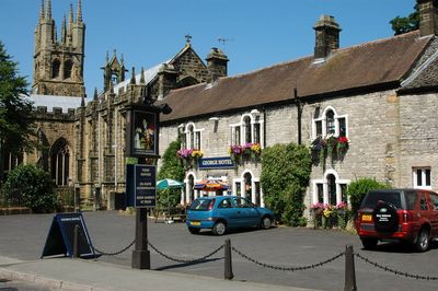
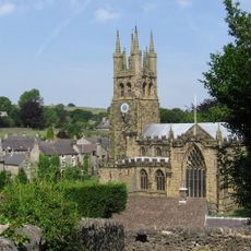
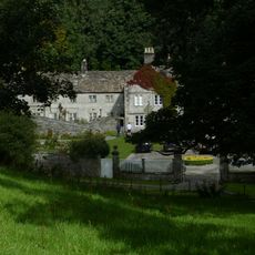
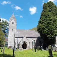
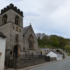
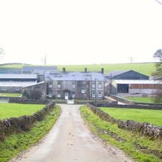
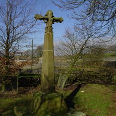
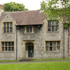
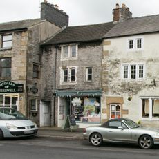
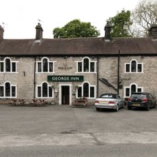
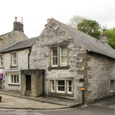
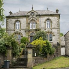
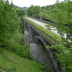
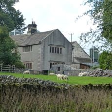
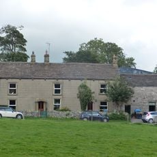
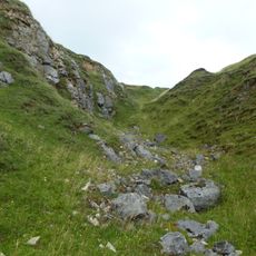
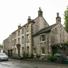
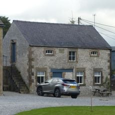
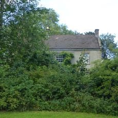
Tideswell, village and civil parish in Derbyshire Dales district, Derbyshire, England
Posizione: Derbyshire Dales
Confina con: Peak Forest, Bradwell, Wormhill, Wheston, Taddington, Litton, Great Hucklow, Little Hucklow
Coordinate GPS: 53.27300,-1.77400
Ultimo aggiornamento: 6 marzo 2025 alle 04:32
Slow Train
2.3 km
St John the Baptist, Tideswell
652 m
Wormhill Hall
2.9 km
St Margaret's Church, Wormhill
2.9 km
Church of St Anne
2.1 km
House To The West Of Church Cottage
609 m
The Brindley Memorial Fountain
3 km
The 'Anglers Rest' Public House
2 km
Millers Dale Bridge 75
2.8 km
North Viaduct
2.3 km
Building to the south west of and adjoining The Old Bulls Head
560 m
House To The East Of Bateman's Farm
3 km
Wheston Hall, gate piers and boundary walls
2.3 km
Wheston Cross
2.4 km
St Johns Institute
689 m
Premises occupied by 'Yesterday Antiques'
585 m
The George Hotel And Outbuildings To East
671 m
Markeygate House
548 m
Picture House
742 m
Row of four lime kilns
2.3 km
South Viaduct
2.3 km
Old Hall Farmhouse
3.1 km
Elm Tree House
2.9 km
Knotlow Farmhouse and attached outbuilding
2.9 km
Tideslow Rake lead rake and lime kiln
2.9 km
Blake House
727 m
Outbuilding To The South South East Of House To The East Of Bateman's Farm (Item 5/64)
2.9 km
The Vicarage
2.9 kmHa visitato questo luogo? Tocchi le stelle per valutarlo e condividere la Sua esperienza o foto con la community! Provalo ora! Puoi annullarlo in qualsiasi momento.
Scopri tesori nascosti ad ogni viaggio!
Da piccoli caffè caratteristici a panorami nascosti, fuggi dalla folla e scova i posti che fanno davvero per te. La nostra app ti semplifica tutto: ricerca vocale, filtri furbi, percorsi ottimizzati e dritte autentiche da viaggiatori di tutto il mondo. Scaricala subito per vivere l'avventura sul tuo smartphone!
Un nuovo approccio alla scoperta turistica❞
— Le Figaro
Tutti i luoghi che meritano di essere esplorati❞
— France Info
Un’escursione su misura in pochi clic❞
— 20 Minutes